

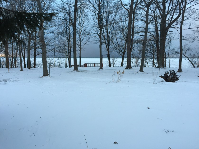
As I write, the wind is howling. The weather forecast for the night is three to six inches of snow and a wind chill of -15 to -30F° (roughly -20 to -30° C). There is shore ice on Lake Ontario and Lake Erie is rapidly freezing over. Temperature is -20° C.
Sitting indoors, the weather outside invites us to reflect on sunnier climes, both here and abroad. I have been thinking about Jbel Toubkal.
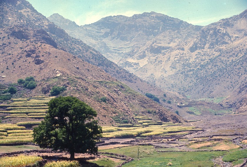
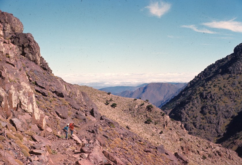
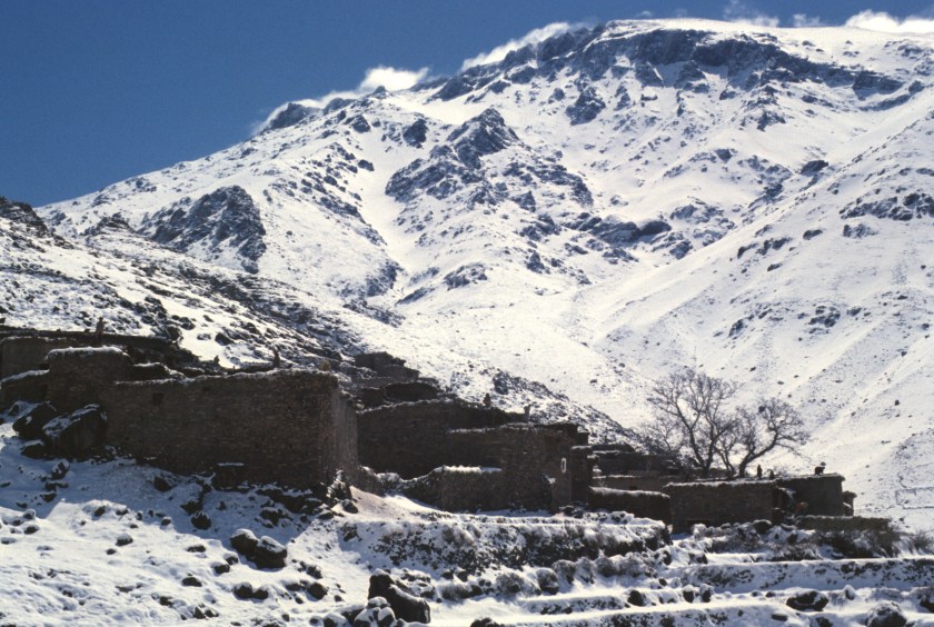
As it is the highest mountain in North Africa, and, one of the most easily accessible high mountains on the entire continent, hikers and climbers flock to Jbel Toubkal. A short bus or taxi ride takes one to Imlil, a large village in the valley below the mountain.

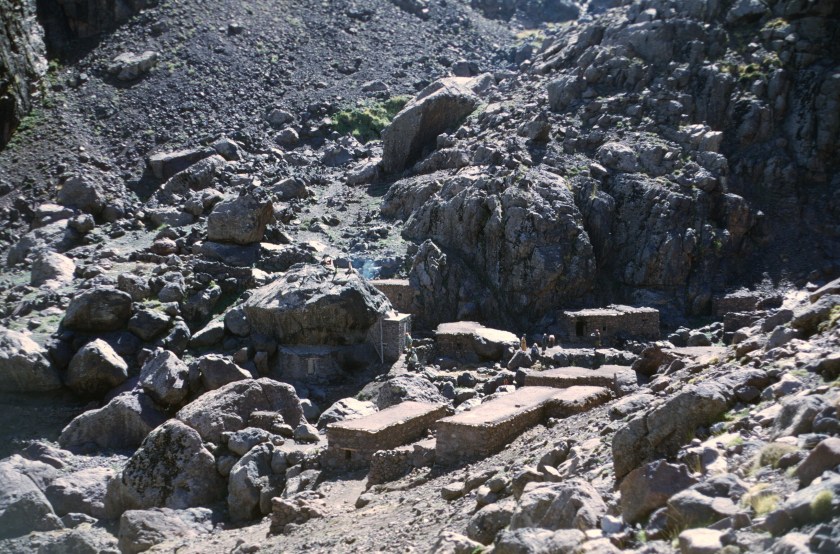
Since I first visited Toubkal about 50 years ago, a serious tourism industry has grown up in this area. In my time, other than a stone dormitory building that the Club Alpin Français (CAF) left, there was just a village there, with villagers willing to sell you food, and muleteers offering their services to take you to the CAF huts of Neltner, De Lépiney, and Tachdirt. Today I see that a second hut exists next to the renamed Neltner, that businesses have grown up around Sidi Chamharouch, and that Imlil itself has holiday lets and lodging for tourists.
Bemoaning commercialization would be mean and selfish. There is no begrudging the living that the locals can make off of tourism. Life in the mountains is always difficult, and tourism is a great addition to the local economy.
There is no pretending that Toubkal is remote. In the seventies, a motorcycle group surprised us at Neltner, getting all the way up to the hut with their large bikes. On the other hand, the hut was never crowded in those days, and, once out of the hut, one hardly saw other hikers or climbers in the mountains.
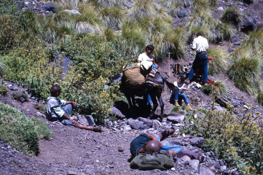
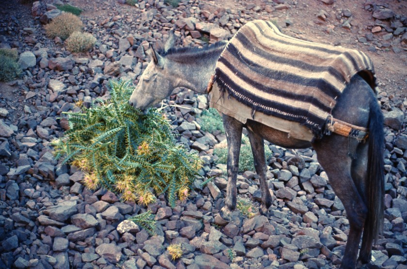
My first visit to Neltner was in the summer of 1969, with other Peace Corps friends. Mules took our baggage up, while we walked, a good way to acclimatize.


We climbed the mountain by the gulley opposite the hut, an easy walk via a steep scree slope.

John Paulas and I had fun taking giant, gliding steps in the scree, and made it down from the summit in no time.
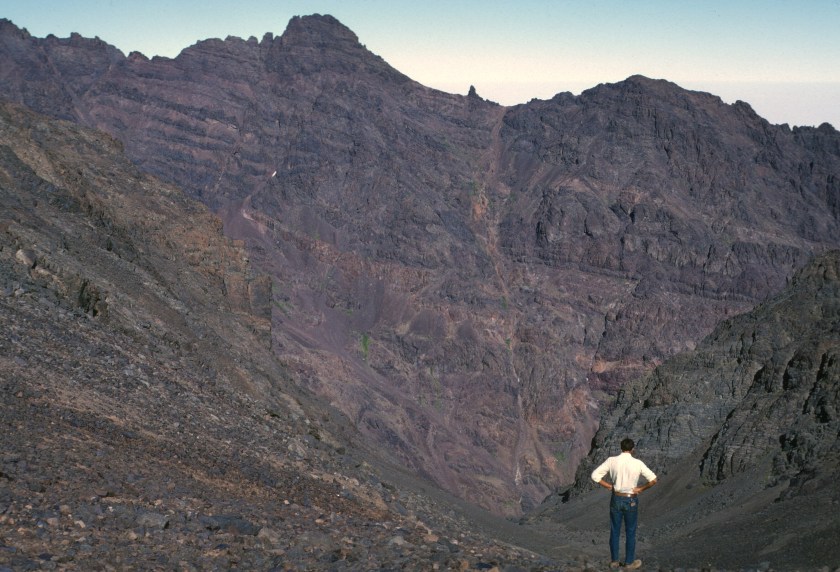
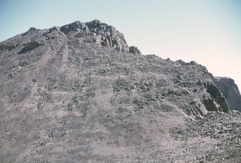
This is the standard walk up route, and not much of a problem for a reasonably fit person in dry weather. There are good views from the summit.


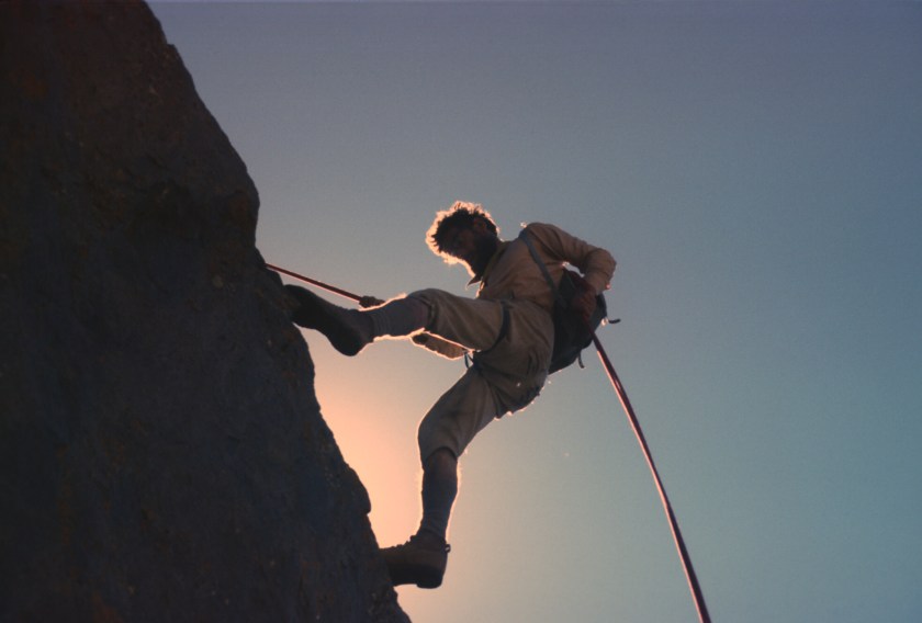
The real dangers on Toubkal are snow, ice, and bad weather. In 1970 an ill-prepared group of embassy people had a bad accident, with a member of the Turkish embassy slipping and sliding a long way down the standard route, and suffering serious injuries. Skiers can face avalanches in the winter, too.

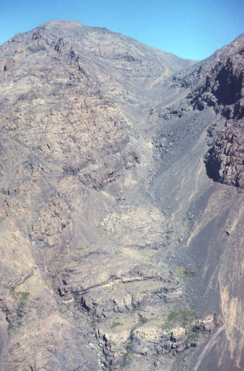
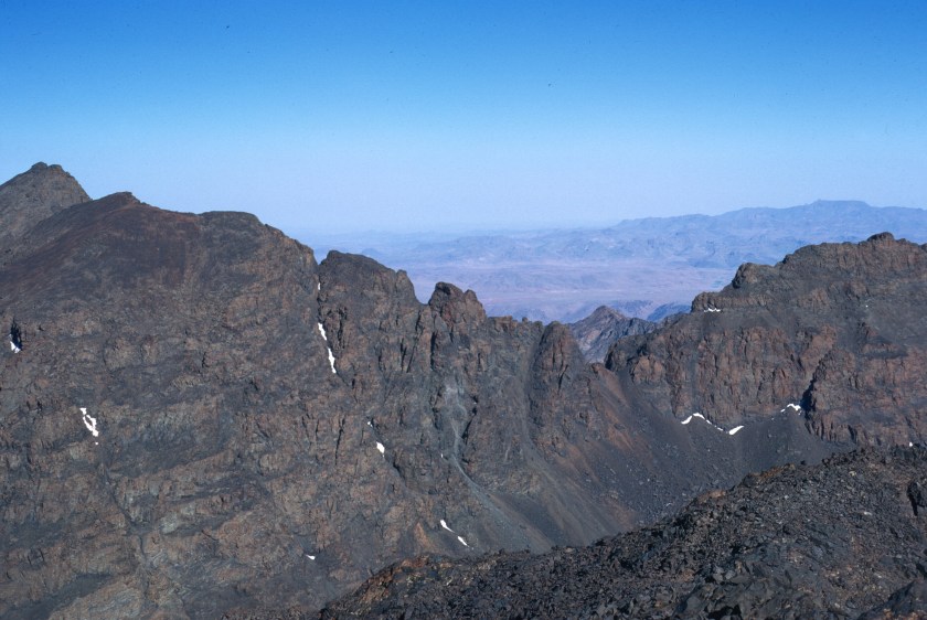
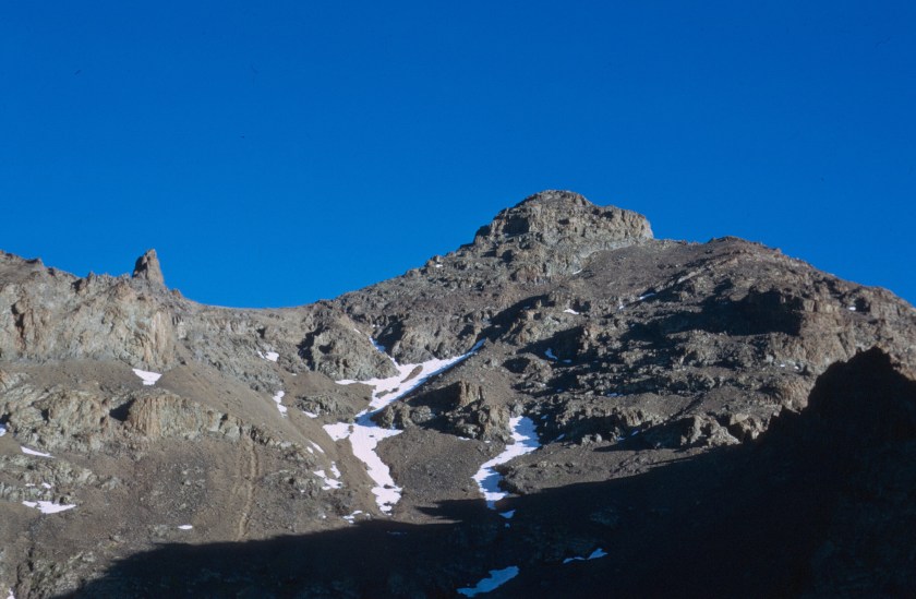
View of Toubkal from Akioud
The classic climbing route is up the west ridge, which starts at Tizi Ouanoums. I found it easy, and did it once alone, and, another time, with an Englishman whom I met at Neltner.

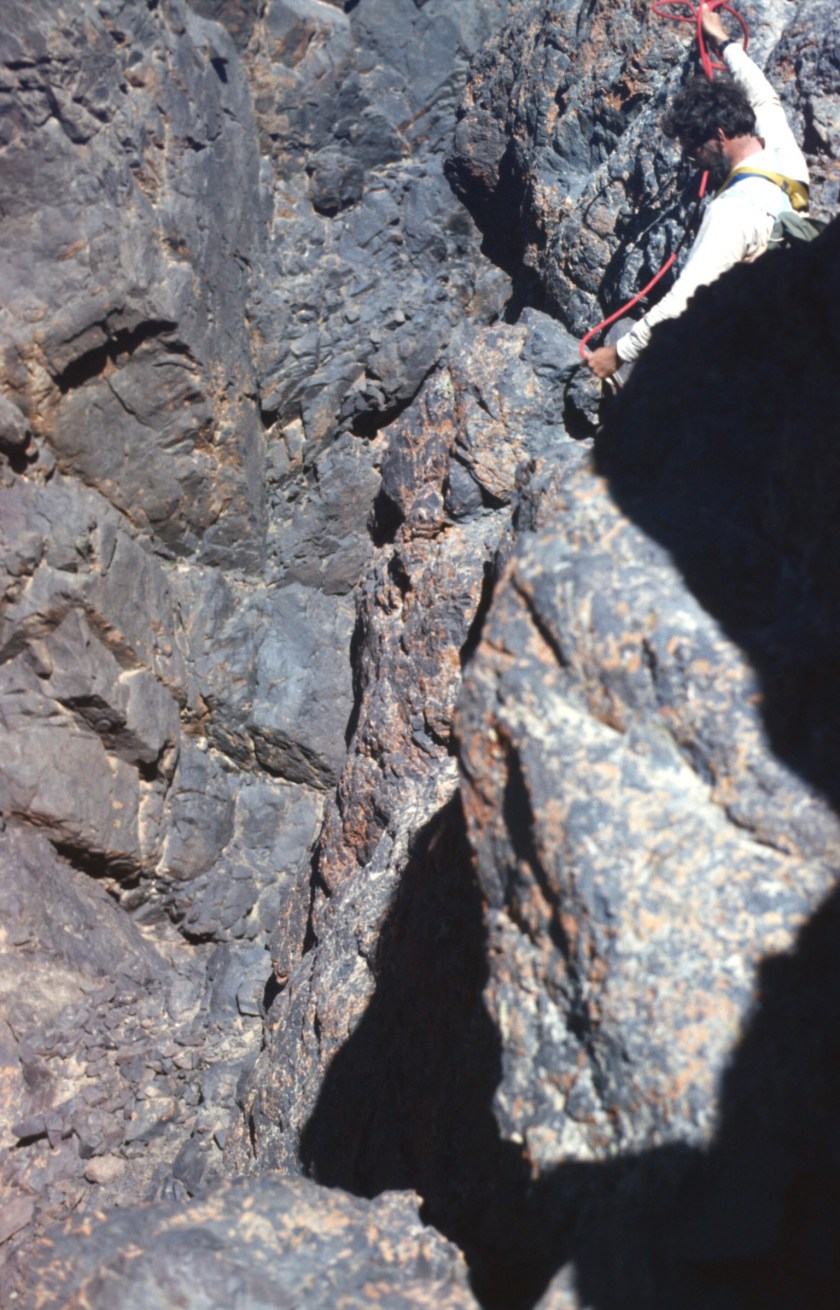
I do remember meeting a couple of young French climbers in Imlil on one of my visits, who complained in disappointment that the rock was rotten and that the route was not very challenging. I can understand that. The climbing is straightforward, not very exposed, and the rock could be better. With my limited skills, however, I found it enjoyable, and it is more scenic than the gulley route.
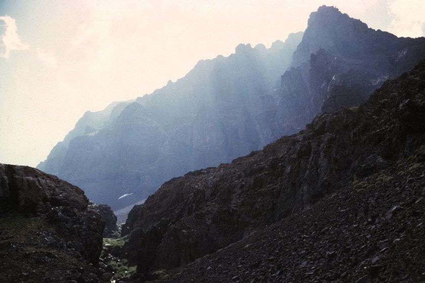
Neltner, at 3,200 meters, also served as a base for other trips: Tadat, Akioud, and hikes to the Lac d’Ifni. Tadat is a rock spur or isolated tower on Tizi n Tadat. Akioud is a ridge between Ouanoukrim and Afella that offers an easy traverse. The Lac d’Ifni is a tarn lake in the Massif of Toubkal, and is said to contain native trout. One simply follows the main valley above the hut over Tizi n Ouanoums, and down to the lake. Of course, if you don’t know where you are going you may have problems. I once stood on Tizi Ouanoums shouting at the top of my lungs to my friends Maya and Dan, who wanted to go to the Lac d’Ifni, but were heading toward Tizi n Ouagane! At least a thousand feet above them, they simply could not hear me, and there were no others on the route to set them straight. They only discovered their mistake when they found no lake at the bottom of the valley! Still they had a great time.

I ended up summiting most of the highest peaks around Neltner, all of which are easy walk ups. If you are thinking about doing it, go when there is snow on the mountains. They are parched and bleak in the summer.

I always wanted to climb Tadat, but never managed to do it, though my friend Jean-Michel Vrinat, and some other French friends with whom I climbed did it. Jean-Michel was a coopérant, who arrived in Morocco with a carload of sporting equipment (fencing foils, shotgun, etc.) which included climbing gear. I did lead this group, with friends Gilles and Sylvie Narbonne on a traverse of Akioud, which I had done by myself before, and I think that they really enjoyed it.


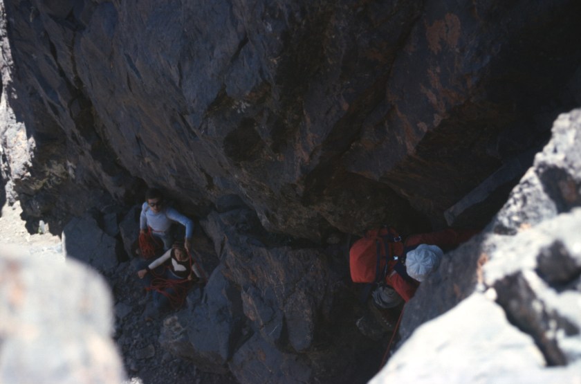
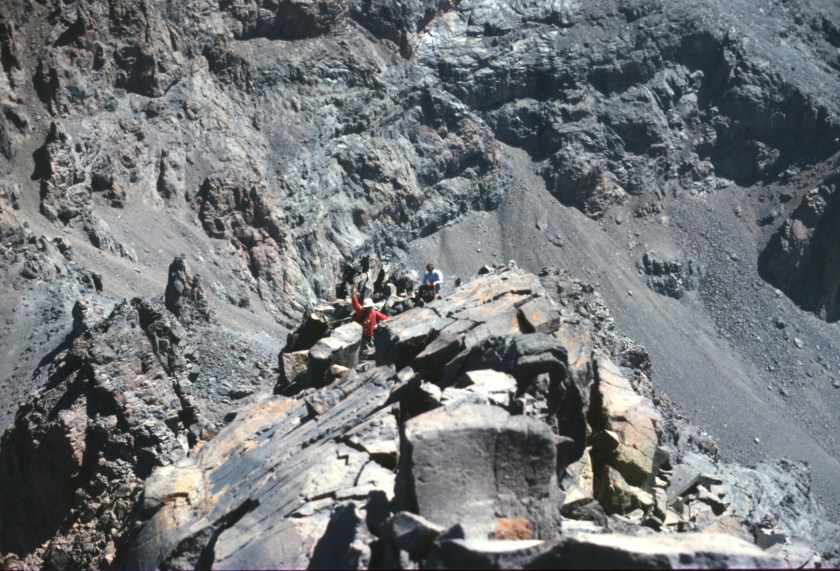

Akioud is an easy walk from the Neltner Hut, and, done from south to north, requires no rappelling. A rope for belaying and security is useful, but not needed for good climbers.
Finally, a trail leads to the third CAF Hut, Tachdirt, near the village and below the pass of the same name. I visited Tachdirt twice. In the spring, there was too much snow, and I think that we spent a couple of cold days in the hut before going back down.

A second time, we thought we could walk the ridges between Tizi n Tachdirt and connect to the trail to Neltner. We totally underestimated our physical condition and the difficulty involved. Having climbed from the pass to the ridge of Jbel Anrhemer, we camped out just below the ridge. I awoke sick the next morning. Climbing along the ridge, I became increasingly dehydrated, and needed water, which necessitated descending to the nearest snow patch (of which there were precious few—this was summer.) We ended up returning to Imlil, then walking the trail to Neltner, arriving in the middle of the night, in my case with the assistance of a mule for the last kilometer. What a day!
La montagne n’a pas voulu!
