Moroccans used the term harka (حركة) to describe the military expeditions that sultans led to extract taxes from tribal areas and to force tribes into submission when necessary. Walter Harris, in Morocco That Was, describes a harka during the reign of the Sultan Moulay AbdelAziz, as does Gavin Maxwell in his book, Lords of the Atlas.
A view of the Algerian desert along the Algiers-Agadez route. 1971
Why Moroccan Peace Corps volunteers chose the word as a title for their volunteer newsletter in 1963 is a mystery. Perhaps the first issue explained their choice. In any case, volunteers, with Peace Corps office support, publishedthe Harka at irregular intervals during the first 10 years of the Peace Corps.
Electronic copy machines such as those made by Zerox were just appearing in the mid nineteen sixties. I still remember my cousin Irene’s husband, John Maroney, proudly showing one to me in his Union Carbide offices in Manhattan in 1964. The Peace Corps administration in Morocco still did not yet have one when I arrived in 1968. All cheap reproduction was still done by mimeograph from copy prepared on typewriters. The process required a special machine and produced copies relatively slowly.
As the contributions to the Harka came from volunteers spread over a large country, the editing and assembly of each issue demanded time and patience from the editors, who presumably lived near Rabat. Depending upon who typed up the manuscript, some strange errors crept in. How many editions of the Harka appeared and when the newsletter ceased publication in its paper form are unknown to me. Perhaps one of this blog’s readers can enlighten us about the publication’s origins, history, and demise. There is little question in my mind that the Peace Corps administration looked upon the free expression of volunteer views with a bit of trepidation.
I have at least four copies of the Harka, two generously furnished by Don Brown. The four date from 1966 to 1968. I will post them on the blog as an incipient archive, hoping that readers may have additional issues to share.
The articles in the Harka present insight into what volunteers were thinking in the late nineteen sixties, not only about voluntary service abroad and all that it entails, but also contemporary cultural issues such as the draft and marijuana use.
The March 1968 issue contained an article by Bob Draper that was particularly of interest to me. Draper crossed the Sahara by the central western Saharan route, south to north beginning in GAO and ending in Oran after traveling on the Niger River through Mopti to Timbuktu. What a great journey! Draper led the way for other volunteers, demonstrating that one could reach West Africa overland from Morocco, and do it on a small budget to boot. If Draper could do it, some of us reckoned, we could do it, too, and so a few of us did.
Draper found the desert scenery uninteresting, but enjoyed his river travel and some of the people he met in West Africa. His brief cultural observations were similar to mine though his style and tone are not. Traveling the westernmost route, by way of contrast, I saw some spectacular scenery and visited more of West Africa, but missed out on the wildlife and the fabled Timbuktu.
Today the trip is mostly made by migrants trying to make their way to Europe at great risk to themselves, as Islamic and ethnic insurgencies plague the western Sahel.
Draper’s account of his trip follows, with typos and original grammar mostly left uncorrected:
DRAPER IN AFRICA (March 1968)
I must begin every letter nowadays with “Sorry to have been out of touch for so long but there was too much sun and too much newness and no motivation whatsoever to put pen to paper, beggin’ your pardon.” The jungle, the savannah, the steppe country. And the Sahara, which had filled my mind for two years, always the Big Thing, which turned out to be a flat lot of sand, the only interesting part being the people—the Touaregs and the Arab truckers who pilot 20-ton snarling hunks of metal through a country still staggering in its huge emptiness, and have pieces of infinity in their eyes. But it’s true anywhere, that it’s the people in a country or town that are interesting, that the sperm and the egg that formed you in the U.S.A. would have been the seed of a savage had it developed in the rain forest, or that in the fishing village of the Niger, would have been shaped into something still different.
You tell more about the forest, get a better feel for it, by seeing the little stocky guy trotting along with his machete and poison arrows than by looking at bone-white trees in the rank greenery. You see a piece of the Niger river, water and bank and hippos, but the Iong Bouzou, an intricately-worked black needle pirogue which seems an extension of his body, heavy with cargo, or used as a pointed mobile stage for the flinging of a circular net, is an intensification and quintessence of the river past and present, the distillate of the whole scene, what’s left in the bottom of the centrifuge tube after everything has been concentrated.
I was dead afraid when I bounced off the boat at Abidjan from Casa. The jungle and heat were overpowering, at that point mainly the heat. I gobbled a salt tablet. I couldn’t move or breathe. The animals and birds looked as if they had been assembled by an insane child, armed with an infinity of feathers, scales and colors. I was dizzied by the colors on the women’s dresses and by the fresh pineapple and mangos and birds. My toes rotted in my boots, had to buy sandals. Heard of some missionaries in town so I stayed with them, because I was afraid to put up the tent in the jungle and because there were no clearings there in the solid mass of green and thorns. I could see why authors call the jungle malignant. The green is too green, the animals are insane. God knows what could be lurking three feet away and who would know. Little guys with poison arrows. Man.
A devious route up to Bobo Dioulasso miles and days on “mille-kilos” and Peugeot taxis to my rendez-vous at the big French research center with the tse-tse fly boys in Bobo. Plunged into a life of super-color for a couple of weeks, fantastic food served and prepared well, the first~class seats in the movie (second-class ? Oh, that’s for them…) really an evil sort of unhappiness for most of the French there: the middle class, always the source of racism, always searching for reasons for their miserable lot, weaving “C’est ca, les Africains”, incredible looms of boredom. Bobo, in the savannah, not so overpowering as the forest or the desert, because there’s neither the absolute closeness nor the too openness.
A Renault mille kilos. The rear of this little truck was fitted with bench seats. Filled to capacity and perhaps more, open windows provided ventilation. After a few hundred kilometers of dusty, washboard dirt roads, passengers were always happy to arrive at their destination. Niger. 1971
It’s just when you get upon a hill and look out and see the same twisted thornbush and head-high grass stretching and rolling out to infinity that you say God, we’ll never get there, the truck will break and there is nothing here. You can’t eat these thorns and dry grass. Fear.
A Peugeot Taxi. Niger. 1971
Then it happened, a flat and then another. No tire repair kit on a back road, sun sucking the moisture out of every pore. The Africans? Nothing. The chauffeur takes a bicycle off the top of the truck, puts a boy on it, sends it off towards the south down the endless washboard. Two very tall men amble off into the brush with very big knives. The chauffeur takes out inner tubes, finds the hole, kind of primitively trial-and-error like, trying several ways of getting the tire off of the rim before succeeding. The two lanky guys get back dragging large branches which they lay beside the chauffeur; they sit under a shrub, cleaning their teeth with chunks of twigs, turning their eyes inward. The chauffeur takes an old inner tube, makes a patch, sticks it on with the sap from the hacked off branches, puts the tube in the tire, the kid shows up with a pump he borrowed from a village off the road somewhere, they pump up the tire, leave, after leading me to my seat because I was saying: “Wha?” and standing around with my mouth open.
After having gone through an hour of “I used to work in an American filling station, bums, want me to show you how?” the sight of a bouncy, healthy tire was too much: I have preserved dried leaves of the “tire-repair” tree.
Most of the nights I was lodged in with the Africans in whatever village we were at when night fell. Smetimes, though, I stayed with missionaries, who were more than glad to feed me and have me listen to them, satisfied with a sleepy nod now and then at random points in their monologue, breaking out dusty bottles of spirits hidden away for medicinal puposes. One good old boy was from Memphis, Tennessee, and after praying together, we threw place names at each other (we had no common acquaintances.) Grits and gravy for breakfast. “Bye, now, write us a letter…”. Teenage daughter looks like Candy, going to Bible College in Nashville, ministering to the pagans along with her father. Asking for the good Lord’s help in a heathen land.
Next random impressions: the sexual freedom of all the natives I saw outside of the Arabs. Many of the Europeans working in the African bush have mistresses supplied them by their villages with the understanding and maybe an occasional present is the only payment required. After dinner in one household three beautiful girls walked in, sat down, were greeted and started to Ieaf through magazines. Wild colored dressed. Chattering in a local language but quietly with grace. Equally as quietly going off with their men, one of whom, as I learned later, was soon going to marry his girl. The others would go off leaving presents and maybe a baby, of which the girl and the village would be proud.
I will write now of the two modes of transportation possibly the least used by most tourists in Africa and possibly the cheapest and most interesting.
Boat on the Niger: bi-weekly Mopti-Timbuctoo-Gao. $25 2nd class, five days good food. Hippopatamuses and crocodiles. Fishermen and nomads at the stops. Old cities along the river, notably Timbuctoo, Gao, Djenne and Mopti. Beautiful people. Feels at times like the womb of the earth, the constant fertility in the middle of the desert. Traditional evening baths each evening in the shallows for everyone.
Truck on the desert: Gao-Adrar (western trail) or In Salah-Tamanrasset-Agades (eastern trail). Western trail-constant traffic (dates and tobacco down, sheep up) never a wait of more than a few days for a truck. $16, 1500 km., 5-3 days, good food. Take a chapstick and a sleeping bag, cigarettes for trading with the Touaregs for milk or with the truckers for dates. Clean , dry air.
Enough, because if anyone is going there they’re welcome to get more information of general or specific nature by sitting down with me over a coffee somewhere, and those that aren’t, aren’t, regardless of how much is written. The important communication is that it’s no big thing, no pilgrimage to the wilderness, no ordeal, no masochism. The trip was a pleasure and not at all hard. No problems, Coca-Cola partout. Everyone everywhere loves tourists including in Mali and Algeria, even though the only books I saw in Mali were “Pensées de Mao” and slogans on schools, the usual thing, “Work hard you brats”—all had the little “Mao” underneath. Skinny Chinese cats nervously smiling and bowing to hotel clerks as they paid their bills. Worthy of note is a widely distributed poster in Algeria of the “watch out for deviationists and revisionists” ilk, on the bottom of which you see in boldface except, of course, for our tourists to whom we should extend the traditional warm welcome.
Surprisingly, the total trip Casa-Abidjan-Bobo Diolasso-Gao-Bechar-Oran-Oujda was cheap, $290~for 12,000 km. eating well, frequent beers, traveling slowly. The trick is to always to plead poverty and refuse to stay in the hotels, or at least the European ones, which are all $10 or so a night minimum. I stayed 1/3 of the time with Africans, some with European and American missionaries. (Only two small nonviolent cases of diarrhea the whole way—polymagma-controllable.)
The only bit of proselytizing I’ll do is to say that there’s a certain amount of value in exposing yourself to a third primitive culture (after American and Moroccan). I found I had made certain generalizations about underdeveloped countries which did not hold water outside the Arab world. And, on a much simpler level, I enjoyed the trip because I left the rain and cold and sinusity behind and swam and played in the sun, and lost (temporarily, to be sure) sight of the Peace Corps and the realization of selfless service and the lousy job and could just wonder a while. It’s kind of nice.
Bob Draper
The Harka March 1978
A Touareg herd near Tammanrasset. The Ahoggar mountains in the distance. Algeria. 1971
When I set up this blog, I hoped that many other returned Peace Corps volunteers from the Peace Corps’s first 10 years in Morocco would contribute. Tonight I received a photo show from Don Brown, a volunteer in Morocco II.
Don’s Peace Corps served as a volunteer from 1963 to 1966, but Don returned to the Peace Corps to work as a trainer for Morocco X, my program, and then as an administrator in Morocco, when we became good friends.
Marty, Gaylord, Eileen, and Don. Earning money as an administrator, Don has upgraded his photo gear to a Pentax SLR. We’re on the runway on Gibraltar with the Kiracofes, spending a few days over the holidays. 1968-1969.
Don enjoyed photography and took many great photos. He had a good eye for composition and a sense of the dramatic lighting that characterizes Morocco. He took the photos in his presentation with an old twin lens reflex. Film was expensive back in the sixties, and one didn’t get many slides on a roll. Those of the cellphone generation may not realize how difficult and expensive photography was in those days.
Photo of Khadija Demnati, Sefrou 1969. Don Brown, photographer.
Don served in Oujda, on the Algerian border. Relatively few volunteers ever visited the city. Volunteers in the early years were forbidden to cross the border. Oujda was a long train ride across the somewhat desolate scrublands of the lower Moulouya River and the city and its region could not compete with the attractions of other areas of the country. Seeing his slides, therefore, was a special pleasure.
I created this blog to record the experiences of the Peace Corps volunteers of my generation who served in Morocco. To my great surprise, the post most read and commented on is Defamation. I wrote that post almost by accident. Early on, when writing about Fes, I came across a piece on the Internet that linked the color of the Shriners ceremonial hats with a purported massacre of Christians in Fes.
A screenshot of a recent television appeal for donations for sick children.
I had worked in Fes and read some Moroccan history, but I had never read about a massacre of Christians. Many things in the article made me question its veracity, beginning with the size of the massacre. In further research, I found no mention of the event in any standard historical text.
I wrote a response to what I thought was a falsehood, challenging the facts as presented and suggesting that the author had no justification for his claims. Today, several years later, no one, neither the original author nor anyone who has commented on my post, has yet produced any evidence whatsoever that the purported massacre took place. I characterize the article as defamatory. Unfortunately, it remains available and continues to be read. The internet is a wonderful source of misinformation.
I am neither a Muslim nor a Shriner (a charitable and fraternal organization connected to the Masons.) I believe in examining historical evidence before committing it to print. I also believe that no one should publish misinformation on the Internet where it may be accepted as authoritative simply because it has been written and circulates. I am a Christian, too, and Christianity, like other monotheistic religions, teaches that lying is a sin.
A large part of the battle between good and evil in today’s world involves curbing the spread of false and misleading information. I never imagined when I wrote my post that it would become the most read article on my blog. For me, it’s a very small part of the ongoing war on lies and bigotry, and I am happy that so many have visited my blog and read it. If only more of my blog posts were as interesting or relevant!
Kids get some sun in an historic medrasa in Fes. Photo by Gaylord Barr: 1969-1970
In an earlier post, Hockey Night in Morocco, I wrote about Muslim players in professional ice hockey, who symbolize for me how much the world has changed since I was young. One of those players I wrote about was Nazem Kadri, who at that time had played 10 years for the Toronto Maple Leafs. In 2019, the Maple Leafs traded Kadri to the Colorado Avalanche, and, thus, when the Avalanche won the Stanley Cup last spring, Kadri became the first Muslim player in National Hockey League history to win the trophy, the oldest in professional sports in North America. If this introduction makes Kadri’s membership on a championship team seem a bit lucky, any hockey fan will vouch for me when I say that Kadri is a top shelf player and he showed it by making his presence felt in the playoffs.
Kadri on the ice, skating with the Stanley Cup, on the night of the Avalanche victory. Photograph from the Canadian Broadcasting Corporation
Traditionally, in the summer after the hockey season, every player on a Stanley Cup winning team brings the trophy to his home town for a day to show it off, and in Kadri’s case, the city was London, Ontario. The following photos, taken from the CBC evening news, The National, show Kadri bringing the trophy to his local mosque in London.
Kadri’s local mosque in London. Photograph from the Canadian Broadcasting Corporation
Should you care to learn more, the following links, one in English and the other in French, carry the full story:
And, yes, when he played for the Toronto Maple Leafs, I rooted for him in games against every team—except the Buffalo Sabres.
Nazem Kadri carrying the Stanley Cup in his mosque. Photograph from the Canadian Broadcasting Corporation.
The world is certainly changing quickly, and, in many cases, not for the better, so it is with pleasure that I bring you this story of a son of immigrants who has succeeded in attaining the highest level of professional hockey, the Stanley Cup, and who was proud enough of his heritage and his community to take the trophy to his local mosque. If I were speaking Moroccan Arabic, I would surely end the last sentence in an appropriate religious expression!
Henri-Jean Moreau’s lion in Ifrane. The green-tiled royal palace, atop the hill in the background, overlooks the town. Cedars adorn the hilltops. 1968.
With such a title, one might think that I were writing about a safari. The reality is more prosaic. Living in the city of Sefrou, Morocco, the small town of Ifrane lay close by, but higher up in the Middle Atlas mountains. Ifrane was initially a creation of the French. During the Protectorate, the French administration expropriated land and began to build a garden town, then in fashion in Europe. When the original plans changed, the French simply built a retreat. At an altitude of 5,500 ft., Ifrane receives frequent winter snowfalls and nearby higher areas have enough relief and snow to satisfy the needs of skiers who are willing to be satisfied by modest facilities and short runs.
Michliffen after a fresh snowfall. The proximity to Rabat, an easy four-hour drive away, enhances the site’s popularity. 1970.
In the summer, the temperature in Ifrane never reaches that of the torrid plains surrounding Meknes and Fes. With easy access from those large cities, Ifrane became a counterpart of the Himalayan hill town, filled with European style chalets, country homes, and even a royal palace. With Atlas cedars replacing the Deodar-filled mountainsides of the Indian subcontinent’s summer retreats, Ifrane, with its cool, fresh, cedar-scented air might be mistaken for an Indian hill town in miniature.
Great forests of Atlas cedars once covered the Middle Atlas. The Ifrane area has many beautiful groves inhabited by boars and macaques. 1968
Today, Ifrane serves as the administrative capital of an eponymous province, and hosts an English-language university, Al-Akhawayn, to boot, but when I first went there, less than a dozen years after independence, Ifrane was more of a sleepy hamlet, its tall and grand chalet-style houses mostly shuttered. Only on the rare visit of the king, Hassan II, did the place jump to life. Commerce and tourists passed through Ifrane on the main road north and south, but I never saw people on the streets. Ifrane had been built for a culture that had gone home, and the new Moroccan elites were slow to integrate it into the new culture that was emerging in postcolonial Morocco. The rich bought houses but didn’t use them. Mountains were for the monkeys and the shepherds.
A typical colonial chalet-style dwelling in Ifrane, surrounded by cloud-enveloped cedars. 1969.
Sefrou had no direct road connection to Ifrane, despite its proximity, and I only visited the place perhaps a half-dozen times between 1968 and 1977. Nothing seemed to change over the period, and the town appeared to be mothballed, despite the presence of some summer camps for children.
On one or two occasions, I took photos of the sculpted lion, prominently situated in a large open park-like area. When I asked about it, I remember being told that German prisoners of war had created it. Ifrane did have a penitentiary for war prisoners during the war so the story was plausible, and it was related to me more than once. In the Lonely Planet Guide to Morocco, for instance, one finds that:
“Ifrane’s landmark is the stone lion that sits on a patch of grass near the Hôtel Chamonix. It was carved by a German soldier during WWII, when Ifrane was used briefly as a prisoner-of-war camp, in exchange for the prisoner’s freedom – or so the story goes – and commemorates the last wild Atlas lion, which was shot near here in the early 1920s. Having your picture taken with the lion is something of a ritual for Moroccan day trippers.”
Sometimes the lion is attributed to Italian prisoners, too, but the reality is that a French artist and sculpture, Henri-Jean Moreau created it before the war, sometime in the 1930s. Moreau, a minor but not untalented artist, came to Morocco from his native northern French city of Libourne in 1925, and his paintings still fetch good prices at auctions.
Prisoners of war sometimes did do extraordinary things, however. Here where I live, German prisoners, who had a surprising amount of freedom, painted murals in the officers’ mess of the military base where they were held. In Africa, two Italian climbers, interned in Kenya during WWII escaped from their prison camp and climbed Mt.Kenya, making all the necessary gear such as rope, ice axes, and crampons from materials scavenged from their camp. Mt. Kenya’s twin peaks, not simply endurance treks as is the summit of Mt. Kilimanjaro, require climbing skills. Successful, the Italians returned to their camp. The adventure is retold in their book, No Picnic on Mount Kenya.
Returning to northwest Africa and lions, the reader may remember my writing about them in an earlier post, Trout Fishing in America, where an 18th century English sailor, held captive as a slave in the time of Moulay Ismaïl, describes what to do when one meets a lion on the road.
The lion has been adopted as the official animal of Morocco, though the last one recorded seen was shot by a French hunter in the 1940s, and nowhere near Ifrane, contrary to what the Lonely Planet guide says. Barbary lions are now considered to be extinct in Morocco as well as in all North Africa, but as a symbol they still have meaning. The national soccer team bears the name, Atlas Lions, and the King has lions on his coat of arms. One version of a popular adage has it that the Tunisian is a woman, the Algerian is a man, and the Moroccan is a lion, but the Moroccans have another proverb that may be more apt and universal that I have always liked: “Everyone is a lion in his own forest.”
One of the last photos of a wild lion in Morocco, taking from a flight from Casablanca to Dakar in 1925. Photo by Marcelin Flandrin@Wikimedia Commons.
In the past, Middle Atlas tribesmen captured lions and offered them as tribute to the sultan, whose palaces contained menageries. As punishment for his insurrection, based on his false claim to be the true sultan, Bou Hamara, the Rogui, was allegedly offered as food to the sultan’s lions in Fes in 1909, though that is but one of several stories told about his painful demise.
His name, Bou Hamara, came from his entry into Morocco from Algeria on a donkey. Alas, he was carted in a cage on the back of a camel into Fes for public display before execution.
On the other hand, the sultan Abd er-Rahman offered a lion and lioness as a present to President Martin Van Buren of the US in 1839. The gift presented a serious problem for the consular officials in Tangier, who tried to refuse, but were finally forced to accept the animals for fear of offending the sultan. In those days, the American government was serious about the rule that presidents could not receive gifts from foreign rulers. The lions were temporarily housed in the Legation in Tangier, and their story ended in 1840 in the Philadelphia Naval Yard, where the hapless beasts were sold at auction for $375.
Lions once ranged widely across Africa, southeast Europe, and large parts of Asia. Today, they are extinct through most of their former range, and their numbers are dwindling quickly in Africa, where several populations are endangered or on the edge of extinction.
The lion’s regal appearance and its sobriquet, King of the Beasts, have fascinated humans for centuries. My high school symbol was the rampant lion, reminiscent of medieval heraldry and British royal traditions, but lions make good publicity, too.
PEA LionThe British Coat of Arms & the lions of the Plantagenets.The lion of a Hollywood movie mogul.Lions as symbols and logos.
In my travels, admittedly limited, lions have appeared in sculptured forms in many places from the steps of the New York Public Library to those of the palace of Alexander the Great in Persepolis.
A lion attacking a bull. Bas-relief from the palace steps at Persepolis. 1974.
Despite Islamic injunctions against representation of animals and people, sculptured lions appear from the Alhambra in Spain to the Ali Qapu palace pavilion in Isfahan and beyond.
These highly stylized beasts grace a fountain in the center of the Patio of the Lions in the Alhambra Palace in Grenada, Spain. 1968.This lion and others like him supportthe pillars of the Ali Qapu palace pavilion, overlooking the great maidan in Isfahan, Iran. 1974.
In Europe and America lions are ubiquitous, often gracing formal gardens and public buildings.
A tender moment in the gardens of Vaux-le-Vicomte, outside Paris. 1992A lion decked with Christmas garlands in the gardens of the Biltmore Estate, once home of the Vanderbilts, in Asheville, North Carolina. 2018.
Sadly, lions may be a beast for another time, which is the way I begin to see myself these days, and it isn’t hard to imagine a world without them—or me, though I think that the lions would certainly be the greater loss. There has been talk of reintroducing lions to the wild in Morocco, but it strikes me as doubtful that such an effort will ever be made. There are too many people, and there is too little wild. People make bad neighbors. Ask any bear in the Pyrenees these days!
Footnote: December 6, 2022
The Atlas Lions are alive
Well, the Moroccan national team has notched a notable triumph. Morocco earned a well-deserved win over a strong opponent and will move on in the World Cup. Moroccans everywhere are celebrating. They are the first team from an Arab country and, only the fourth country from Africa, to reach this milestone. They will now play the world’s elite. I wish them luck.
Ignorance, if not the progenitor of naïveté, certainly assists it with a guiding hand. The constantly shifting borderline between what we know and don’t know adds another dimension. Without diving into the strange and nonsensical sophistry of the late Donald Rumsfeld’s “unknown unknowns,” I will be content to state the obvious: experience shapes the questions we ask and how we see the world. We don’t know everything, and though sometimes we do know what we don’t know, the unexpected happens as often as not, like the sudden appearances of Monty Python’s Spanish Inquisition.
In the nineteen sixties, the nations of the world were often placed in a few simple categories: democratic or dictatorship, capitalist or communist, aligned or unaligned, and developed or developing (or, perhaps less charitably, underdeveloped). As a student living those years, I certainly saw the world from that binary optic. Sex was largely seen from that perspective, too.
My Peace Corps training did not disabuse what I now see was a simple and naive view of Morocco. In California, I learned that Morocco was a contrasting mixture of old and new, of tradition and modernity, and, while that certainly was the case, Morocco as the country of contrasts was also an old cliche. Once in country, as a volunteer living on a limited monthly allowance, I had no contact with the country’s rich, urban, French-educated upper classes. Living in the medina of a small city, a medina rapidly becoming a slum, I knew more modest classes of Moroccans. Modernity was something that they aspired to, though sometimes warily, and it was often as not seen by traditional eyes.
Morocco sometimes offered surprises, though few greater than the one that my buddy and fellow PCV Gaylord Barr had on his return from home leave in 1970. Gaylord had left Morocco as a failed extension agent, and returned, born again from the ashes of his agricultural extension program, as a teacher of English as a foreign language, or a TEFLer as we called them in the Peace Corps. As it turned out, he was a natural, an excellent teacher loved by his students.
On the trip back to Morocco from his visit home in 1970, a man in the Boeing 707 seat next to Gaylord engaged him in small talk. Gaylord politely asked the man where in Morocco he was going and why. The man’s reply shocked and unsettled Gaylord. His fellow traveler was going to Casablanca for a sex reassignment operation.
As it turns out, Casablanca was, and still is, a major center for sex reassignment surgery. Today, despite King Mohammed VI’s announcement of guaranteed medical care for all Moroccans, finding a medical facility in parts of the country can be difficult, yet fifty years ago foreigners were flying into the country as one sex and leaving physically as another. I saw several people die when proper treatment would have saved them—and not all were poor.
The story behind Gaylord’s encounter begins in 1910 in the French village of Juillan, within sight of the Pyrenees. His parents, both school teachers in Algiers, were visiting family when Madame Burou gave birth to a son, Georges, in the nearby city of Tarbes. I will mention Juillan again, in another post, but in a very different context!
Georges Burou grew up in Algeria, and studied medicine to become a gynecologist. After World War II, in which he saw combat as a member of the French army, he moved to Casablanca. He established a clinic in Casablanca, which achieved worldwide recognition as Burou became known for his specialty, sex reassignment surgery. His clinic was so well-known in fact that the expression “going to Casablanca” eventually evolved. One of his patients was the English author and traveler writer, Jan Morris, who passed away not long ago. Morris, incidentally, was the reporter who broke the news of the first ascent of Mount Everest in 1953.
Casablanca, 1968.
In 1968, I used to go to Casablanca to pick up truckloads of chicken feed for a primary school chicken cooperative. If one had told me at the time about Georges Burou, I would have been incredulous. Morocco was a conservative Muslim society, where the head of state bore the title “Commander of the Faithful.” At that time, sexual reassignment would have been a rare and controversial procedure anywhere in the world. Yet upon reflection, Casablanca was also a modern metropolis with air links to the rest of Africa, Europe, America, and the Middle East and it had a sizable medical community. Was I naive or was I not?
Today, homosexuality is illegal in Morocco, yet sexual reassignment is permitted. One of the most famous Moroccan belly dancers is a trans person, though her long and strenuous efforts to be officially recognized as a woman have not succeeded. Tradition and modernity are often at cross purposes, especially where the law is concerned. In modern Iran, where almost any sexual activity outside marriage is forbidden, the late Ayatollah Khomeini issued a fatwa declaring that the sexual reassignment procedure was legal.
Georges Burou drowned in a boating accident in 1987. His work was so controversial that he purposely kept a low profile. He rarely gave interviews. Burou was certainly no saint. Aside from his pioneering surgery, he provided services that many would find unethical or even reprehensible. No one to this day has painted a detailed picture of his life. Even his death was a bit mysterious. I have read that there were only two life jackets for the three people aboard his boat the day it sank, and Burou offered them to his two teenage passengers.
Pic du Midi de Bigorre, as seen from the Boulevard des Pyrenees in Pau. A late summer afternoon in July 1965.
I seem to return again and again to Pic du Midi de Bigorre, a pole around which some of my memories rotate, collect, and coalesce like the dust of a primordial solar system or galaxy, perhaps to come to life again.
Just recently, an article in The Guardian with readers’ recommendations for out-of-the-way European travel spots suggested visiting the Pyrenees and highlighted the mountain range’s clean air. The Pyrenees have been somewhat ignored by foreigners, except for eccentric Englishmen like Count Henry Russell.
The Spanish frontier lies along the crest of the range, and is never far. On a school trip to the Col d’Aubisque. August 1965.
The fact that for a third of the twentieth century the mountains were a land frontier with a country under a dictatorship did not encourage drop-in visitors and was a factor, though in the south many British pensioners stretched their incomes by moving to the Costa del Sol.
A customs post at the Col du Pourtalet about 6,000 feet in elevation (1,794 m). The tiny figures on the hill were border guards armed with submachine guns. Years after the Civil War, in 1965, the Spanish government still felt that it needed to show its strength along the border. I remember the guards as members of the Guardia Civil, but I might be wrong.
As for mountain scenery, the Alps are much higher, have big glaciers, are closer to large population centers, have more snow and longer lasting snow, and were an early center for climbing for the French and the English.
A view of Mont Blanc after a fresh snow, above Le Tour in the Chamonix valley. 1970.Le Petit Pèlerin among the Aiguilles de Chamonix. This summit is easily accessible and an easy ascent. The Aiguilles de Chamonix are legendary for European climbers. One of the highest cable cars in the world will take one to the summit of the Aiguille du Midi, and, if one wishes, over the Vallée Blanche and down to Courmayeur in Val d’Aosta in Italy. WikiCommons: Topo camptocamp.org.At the summit of the Petit Pèlerin, Pierre, a Chamonix guide and climbing instructor. Below, the valley of Chamonix looking up the valley toward Switzerland.
The Pyrenees are much more wild, and far less developed, particularly in the eastern part of the range, where French government and European environmental groups have been trying to reestablish a self-sustainable bear population. That effort has met vocal and vigorous opposition from pastoralists who must deal with occasional depredations on livestock. Transhumance in the Pyrenees has been an important part of the local economy from at least the Middle Ages.
One of the towers in the National Park of Ordesa. Spain, 1969. The Pyrenees have several national parks on both sides of the frontier.
Hitchhiking through the Pyrenees in the mid-sixties, I seldom encountered cars with foreign license plates, and all the rides that I received were with French drivers.
More recently, however, British writers have produced some excellent guide books in the Ciceron series of mountaineering and climbing guides.
The observatory complex from just below the summit of Pic du Midi. August 1965.
Recently, French newspapers have reported on the discovery of micro plastics in the thin air of that Pic du Midi. This should come as no surprise since plastic particles have been found from pole to pole. Plastics have contaminated the food that we eat, and through food, our bodies. A huge mass of plastics floats in the Pacific, while I, myself, cannot go down to the shingle beach behind my house without seeing all varieties of plastic items, the flotsam and jetsam of life in our modern age.
What did come as a surprise to some scientists studying the plastic nanoparticules on the summit of Pic du Midi was their origin: the Atlantic and the Mediterranean, suggesting vast transport mechanisms.
Plastics are ubiquitous on earth, to the extent that some have suggested that a new geological age be created and named the Plastocene. We don’t have to search for irony in the scene from the movie, The Graduate, where an adult friend of the protagonist’s father approaches young Benjamin, and shares his important life secret: the future is in plastics.
The Graduate was released in 1967, the same year I trained for the Peace Corps. At that time in Morocco, grocers used old newspapers and bags made of cheap and coarse blue paper to wrap beans, rice, and other bulk items. In Tangier, an expatriate Englishman, who offered fish and chips from a hole-in-the-wall restaurant in the medina, served up his take-out food wrapped in newsprint as was the custom in Britain. Still, change was on the horizon. In the short four years of my first stay in Morocco, thin plastic bags slowly replaced the old paper ones and newspaper wrappings became ever less common.
In those days, municipal dump sites consisted largely of organic waste materials. Tin cans, glass, and plastic bottles were picked out of the waste sites by scavengers. Rather than a mound, waste sites in Morocco were often flat empty places, picked clean by people and animals. As in the account of life in a Mumbai slum, All the Beautiful Forevers, where some of the book’s characters earned their living by scavenging trash, so did some Moroccans. I have a photo somewhere of the municipal dump site of Chauen, from the mid-nineteen seventies, that shows a strikingly flat and barren place, picked clean of everything.
In the States and Canada, the term waste management is somewhat of an oxymoron, and now manifests itself as an industry with a few very giant players. Recycling is common, encouraged by environmental interests as well as governments hoping to preserve landfill space and perhaps make a bit of money. Much waste is shipped abroad where it ends up burned or otherwise inappropriately disposed of. Better waste management would include reducing the amount generated in addition to recycling and various disposal solutions.
Not too long ago, a U.S. forest services employee, who had tested the Colorado air for years for certain predetermined substances, decided out of curiosity to look at his samples under a microscope one day, and, to his surprise, saw tiny black particles. Need I tell you what they were?
Today Morocco has joined other nations of the world in the fight to reduce and manage waste and keep it out of the environment. The effort is expensive and Morocco’s progress has been slow. Perhaps, if Peace Corps returns to the country after the pandemic, it will bring young waste management experts. More likely is that giant waste management firms will eventfully find the Moroccan market profitable and move in with their own people.
The chemical giant DuPont used to have an advertising slogan, “Better living through chemistry.” While there is no doubt that the modern world is dependent on plastics, there is also little doubt that non-recyclable plastics, used indiscriminately and disposed of improperly, are ruining the planet. Yes, a Moroccan farmer in Taounate can produce cheaper tomatoes using drip irrigation from plastic tubes, but there always remains the question of where the plastic goes after it is used, not to mention the environmental cost of producing it.
Modern life is unimaginable without plastics, but we might all be better served by their more judicious and less frivolous use.
Sunset from below the summit of Pic du Midi. As noted in an earlier post, the cost of taking this photo was a long, cold descent to La Mongie.
The American Institute of Iranian Studies in Tehran in 1974. Jeremy Clinton, a former Peace Corps volunteer and Persian scholar was director and lived there with his wife and children. The basement had a dormitory with cots for visiting scholars. It was basic, but cheap and convenient. That year it was completely filled. Americans visiting the institute were a “who’s who” list of historians and anthropologists. The institute closed the Tehran site in 1979 when the United States broke diplomatic relations with Iran.
As I read Sam Sifton’s column, “What to Cook This Week,” in this morning’s Sunday New York Times, I was reminded of the food that I ate during the summer I spent in Iran. The American Institute of Iranian Studies had a cook, and while I stayed there I got a sampling of home-cooked meals every lunchtime. Sifton’s recommendations included two Iranian recipes following an article on food for the Yalda celebration, a pre-Islamic family celebration of the winter solstice, less well-known to foreigners than the Iranian New Year, Nowruz
Everyone has a tendency, ingrained in humans no doubt, to accept as normal what is familiar. Many Peace Corps volunteers who went to Morocco had little previous experience with Islam or North Africa and the Middle East, so Morocco became their norm for the Islamic world much as it was for the Moroccans they lived and worked with since most had never traveled abroad.
Morocco existed as a fairly homogeneous area before it became a modern state, and its ethnicities had been established for a long time. Morocco was a dead end, not a crossroads. Jewish and Arab refugees from Spain settled after the Reconquista and the Sultan Moulay Ismail settled some slaves from West Africa, but that was it. Morocco has been the same Morocco for a long time, once the Arab armies conquered the area and revived urban life, filling the tabula rasa left by the decline of Rome and the barbarian invasions.
Foreign influence in Morocco today is largely a result of colonisation by the French and Spanish in the twentieth century. The basis for Muslim culture in Morocco was the Islam brought by early conquerers, tempered by an admixture of Berber beliefs and customs.
The countries of the Middle East are quite different from Morocco in that they are far more heterogeneous. Some were the centers of great empires and aspects of those earlier cultures are still important, especially language and religion. The Middle East has always been a crossroads, too, with trade and armies constantly stirring the cultural mix of peoples.
A map showing the major ethnic groups of Iran and their location. Wikipedia.
In this respect, Iran is a great contrast to Morocco. Ethnically, it is much more diverse, with Farsi-speaking Persians living around the perimeter of the Iranian plateau and important populations of minorities living on the edges of the Iranian state: Turkish speaking Azeris in the northeast, Arabic speakers in the southwest, Turkish speaking Turcoman nomades in the northeast, Baluchi tribesmen in the southeast, and various smaller groups. Furthermore, Persian civilization was far older and more urban than that of Morocco.
Modern Iran is the descendant of the great Persian empires of the ancient Middle East, conquered numerous times, most recently by the Arabs, who provided a new religion. However, the Persians kept their language, adopting the Arabic script and borrowing many Arabic words. Farsi was a vehicle for the transmission of ancient traditions, literature, and even religion. For those in the West, the Persians are often seen as the villain, fighting to conquer Greece, but they were also notable in allowing self-rule by minorities, as well as for building great roads and creating a postal system.
The tomb of Anaxerxes III at Persepolis. The king is making offerings to Ahura Mazda, god of the Zoroastrians. I took the photo at noon and the bas-relief doesn’t show well.“The Faravahar (Persian: فَرَوَهَر), also known as the Forouhar (فُروهَر) or Farr-e Kiyâni (فَرِّ کیانی), is one of the best-known symbols of Zoroastrianism, an Iranian religion.” From Wikipedia.In this detail of a photo from WikiCommons the faravahar is much clearer. Photo by Bernard Gagnon courtesy of Wikimedia Commons.
Iran eventually freed itself from rule by non-Persians, and formed an empire under the Safavids, one of the so-called gunpowder empires, who made the Shia sect of Islam an official religion for the first time.
The maidan and royal palace in Isfahan, the capital of the Safavids, in the setting sun.
The Iranians preserve and cherish pre-Islamic history to a far greater extent than the Arabs. I think that one can safely say that there is nothing remotely comparable to the Book of Kings, the Shahnameh, in Arabic. Though written after the Arab conquest, this epic Persian poem looks backward to ancient Persia. Like the Chinese, the Iranians remember and are proud of the ancient past of their land.
For a semester, I had an Iranian roommate at university, and I got to know him as well as all his fellow Iranians there. His pride of being an Iranian was palpable, though he himself came from Tabriz in the northeast and was a minority Azeri. Cya had the same love of language and poetry that my Moroccan friends had, but it was for Farsi, of course, and, though he was religious, he complained about all the words borrowed from Arabic and the purity of Persian spoiled by too many Arabic words. Farsi is an Indo-European tongue, distantly related to English and there are recognizable cognates like mādder and fādder, mother and father in English. Iranians firmly believe in Islam, but they also cherish their own tongue and the Persian heritage that comes with it.
The ancient city at Maliān, near Shiraz. I visited it with Bill Sumner, who was running the University of Pennsylvania’s excavations at the site. In the ancient past, there was a city of twenty or thirty thousand people here. Today just a few hundred live in the modern village.
Monuments, ruins, and the mounds of buried cities all bear witness to the ancient history of Iran, but in traveling that country, I witnessed more contemporary evidence. Most striking to me was the tower of silence that I saw by taking a taxi from the city of Yazd.
The tower of silence outside of Yazd.
Towers of silence are structures where Zoroastrians expose their dead to carrion birds until their bones are picked clean of flesh. The bones thus purified are then buried in a pit. The tower that I visited appeared to be still in use, and a niche on its locked entryway seemed to have some kind of ritual offering.
Visitors can climb up to the doors of the tower of silence but cannot enter or look in.
Zoroastrianism became the official religion of the great Persian empires before Christ or Mohammed were born. Little is known about the reputed founder Avesta, but ancient religious texts have survived and the beliefs of the religion are clear: a single God, a struggle between good and evil, mankind with free will, belief in a final judgement, and heaven and hell. After Persians converted to Islam, Zoroastrians came to be regarded as People of the Book, in the same way that Jews and Christians were. Regarded as inferior and treated as such for choosing not to follow the true religion, Islam, the People of the Book were still protected because they had partial access through their holy books to the divine revelation in the Qur’an. They paid a poll tax and were subject to social restrictions, but beyond that they were free. They could not marry Muslim women, but they also were not to be forcibly converted. There was a certain utilitarian side to this, since if everyone converted, the ruler would have no one to tax. Muslims were not taxed in the earliest days of Islam.
Today the Zoroastrian population of Iran has dwindled and more Zoroastrians live in India than in Iran, where they are called Parsees. In the region around Yazd, there are still Iranians who practice this ancient faith.
The Khaju bridge is the most beautiful of the bridges of Isfahan, seen here in the early morning light of an August day in 1974.
I took the title of this piece from a poem by the French-Canadian poet and singer, Gilles Vigneault. Set to music, it was popularized by the late singer, Monique Leyrac. One of the author’s images for the passage of time is a common one: water flowing under a bridge. I thought of it the other day while reading an article in Le Monde on the Zayanderud, the river that flows through the major Iranian city of Isfahan. Or maybe used to flow through Isfahan.
A view of the maidan, a vast open square in the center of Isfahan. Where locals now take in fresh air on evening strolls, polo was once played. In the background, the Shah Mosque. View from the Ali Qapu Palace.
Isfahan is arguably the most beautiful and interesting city in Iran, endowed with monumental architecture by the early Safavid shahs, notably Shah Abbas I.
The area surrounding the maidan has some of the most beautiful and most representative examples of the Islamic architecture of Persia. This is the huge courtyard of the Shah Mosque.The courtyard of a madrassa.
Armenians were forcibly resettled in Isfahan, and have been an important community there since Safavid times. The ancient cathedral is surrounded by a graveyard with tombstones engraved in Armenian.
The Armenian cathedral in Isfahan. I met American tourists of Armenian descent who were visiting the graveyard.
The Persian heartland of Iran is composed of the cities that ring the empty, inhospitable desert that occupies the center of the country.
The road to Isfahan from Tehran skirts the desert, which gleams white in the distance. Few roads cross it. The salt crusts are thin, and there is a danger of falling through them into mud and quicksand. In one location a causeway was built to ensure the safety of caravans.
Isfahan is one of those cities, but it is unique in a special way: Isfahan straddles a river. All the other cities depend on qanats for their water supplies. A qanat is simply a gently sloping tunnel dug into the alluvium of the mountains. Holes for access and air occur every hundred feet or so, and when viewed from the air, a qanat appears as a long line of pits stretching across the barren landscape. Some are over twenty miles long, with shafts as deep as a thousand feet. The modern capital of Iran, Tehran, got all its water from qanats until the early 1950s, at which time it had a population of over two million. Old Persian houses of the well-off, such as one I visited in Yazd, sometimes had subterranean rooms directly connected to the flowing water.
In the case of Isfahan, a river, the Zayanderud, arising in the Zagros mountains and disappearing into a closed basin, brought water to the city.
A map of the Zayanderud, Map by Kmusser, courtesy of WikiCommons.
The Zayanderud was the life of the city, providing irrigation for croplands, drinking water for residents, and a source for the fountains of numerous mosques, madrasas, and public baths.
A water basin in a madrassa.
As a sizable river, the Zayanderud required bridges and the Safavid Dynasty endowed it with several.
The Allahverdi Khan Bridge, popularly known as the Si-O-Se-Pol bridge after its thirty-three arches, was built by Shah Abbas I with recreational and irrigation functions as well as for transportation uses.
A week or so ago, Le Monde reported that water no longer flowed under the bridges of Isfahan. This is not a new story. The news media has been reporting for some years that the river had been taxed with water withdrawals beyond the capacity of its flow. The reasons are multiple: population growth, climate change, and bureaucratic incompetence and corruption. However, the effects are dramatic on Isfahan’s beautiful bridges, bridges that served as market places and public recreational areas as well as transportation to important quarters of the city. Time has stopped. Plus d’eau sous le pont.
Hydrologists have been warning for years that the Earth’s fresh water is limited and very unequally distributed. Early concerns focused on population growth and pollution, but climate change has been recognized as a major factor.
Americans from western states understand the situation well. The history of American water development bears the same marks of corruption, incompetence, and lack of environmental awareness. A reckoning is certainly coming this century, though one would never know it by the continued rapid growth of states like Arizona and Texas. California is rationing water now. In ancient civilizations, such as the first cities of southwestern Iran, salinization due to lack of sufficient water to wash out the accumulating salts in agricultural fields effectively ended urban life in some places. Sadly, humans are often slow learners.
I count myself fortunate, then, to have stood on the banks of the Zayanderud, on an early August morning almost 50 years ago, watching the river flow swiftly through the sluices of the bridge. Today, it only happens for holidays and special occasions. In the future, perhaps, it will never happen again. The flow of the river depends on the snow pack of the Zagros mountains, which, like that of the mountains of the American west, will decrease as global temperatures warm.
Moroccans must wonder, too, about the drying of the Atlas. If California is any model, longer, deeper droughts and more serious forest fires can be expected. Add to that overgrazing, man-made deforestation and pollution and the future of Morocco’s great mountains begins to look grim indeed.
One of my earlier posts featured a bit on John Paulas. I added a comment to it about a book that his friends just published, but upon reflection, thought I could mention it again here in a brief post where any of his old friends, should they stumble across this site, will find it.
The main road south from Meknes crosses the high Middle Atlas plateau just south of Ifrane. In the distance, looking south, the eastern High Atlas towers above the Upper Moulouya River valley.
This week, the International Panel on Climate Change issued a long anticipated report on climate change, its sixth since 1988, and almost 4,000 pages long. The gist of the report is that the nations of the world may still be able to stabilize rising global temperatures and limit their rise from the 1850 to 1900 period to 1.5° Celsius (2.7° F)—but only by immediate, serious, and concerted efforts over the next decade or so. Within the report some scientists suggested that there must be dramatic action within the next four years.
A few days ago, the New York Times published an article, “How much hotter is your hometown?”, in which you could input where you live and when you were born to see how much temperatures have risen over your lifetime and how much they can be expected to rise in the next century.
The series of temperature data used for comparison only begins in 1960, so I decided to use 1968 as the date of my birth, the year that I stepped off a PanAm 707 onto the tarmac in Salé to spend the first four of the seven years that I would live in Morocco. I now live close to where I was born in Western New York so I thought it would be interesting to look at Niagara Falls, New York and Sefrou, Morocco. The first location has a temperate climate, tempered by Lake Erie and Lake Ontario, while the latter has a Mediterranean one, where a 3,000-foot elevation moderates the temperature.
In 1968, Niagara Falls had one day of temperatures of 90° F or more (32.2° C). Sefrou had 34 days. Today Niagara Falls still has only one day, but Sefrou has 65 days. In twenty years, the respective number of days of 90°+ for each city will be two and 85. Near the end of the century, the 90°+ days will rise to 12 for Niagara Falls and nearly 100 for Sefrou. Needless to say, in both locations summers will be much hotter. The number of 90°+ days represents only a daily high.
The consequences of this change will be enormous. Today we see daily reports of destructive wildfires and drought in California, which has a Mediterranean climate like Morocco, as well as wildfires all around the Mediterranean itself. Fires in the Kabylie recently claimed scores of lives. In the future, with more heat in the atmosphere, storms and other severe weather events will certainly increase in strength. All this will happen, without adding in still unknown tipping points such as the potential collapse of the Gulf Stream.
Today I think of the many Middle Atlas lakes and the great forests of Atlas cedars, and wonder what will happen to them.
The forest at Tafferte in 1968 or 1969, outside the old ski hut.
Will the lakes be drained for irrigation or even drinking water?
Seated on the terrace of Le château du lac beside Dayet Aoua in 1969 or 1970. Note the pedal boats. The lake is now dry.
Will the cedars fail to regenerate in a drier, hotter environment especially after the forest substrata of green oaks is gone, burned for production of lime or charcoal?
Producing lime near Sefrou by burning green oak. At higher elevations, the green oak provides a valuable microenvironment for young cedars.
Will the snows of the high plateaus and mountains become ephemeral? And, more importantly, what will happen to the pastoralists and farmers in the coming new environment?
Some of the news that comes from Morocco is disquieting. Birds once common around Daya Afourgah have disappeared, and satellite photos show great expanses of dried up shoreline, and what look like irrigated fields.
Picnicking beside Daya Afourgah in 1969 or 1970. Photo by Gaylord Barr.
The karst lakes of the Middle Atlas have always risen and fallen with snow and subterranean flow, but today some seem to be drained.
A recent aerial photo of Daya Afourgah, which displays large areas formerly under water. Google Earth, 2021.A quiet evening on Lake Afourgah. In the autumn, great flocks of starlings would congregate around the reed beds. The flocks would perform aerial acrobatics including diving toward the surface of the lake and pulling up virtually at the water’s surface. Photo from 1968.
Daya Ifrah, the largest of the Ifrane region’s lakes, is suffering fish kills from the chemicals in agricultural runoff.
Despite the increasingly better modeling of climate change, so many unknowns exist that it is difficult to fathom why anyone would risk the future of the planet, and yet that is exactly what has been happening for years.
In the United States, by the end of this decade, scientists project that the glaciers of Glacier National Park will disappear entirely, and we may soon be chanting Villon’s familiar refrain, “Mais où sont les neiges d’antan?” Will the beauty of the snows of the Atlas become as ephemeral as the beauty of Villon’s women?
* For you lovers of the English language, the poet Gabriel Dante Rossetti, in his translation of La ballade des femmes du temps jadis, coined the word yester-year now in use as yesteryear, as a translation for thé French word jadis.
In the autumn of 1966, I was living in a rented room in Montreal, Canada and studying at the Université de Montréal as part of my international relations major. The three months I spent there involved researching my honors thesis on political change in Québec and taking Canadian history courses. My life was a bit lonely. The university was a big place, and so I took advantage of as many public cultural events as I could. One of these involved a National Film Board of Canada film series. It was there that I watched Breaking a Quarter Horse, a made-for-television production, based on a short novel by Paul St. Pierre. The author, who led a full and varied life, often wrote with affection about Chilcotin County in the Cariboo country of his native British Columbia. His short piece gives a bittersweet vignette of relations between First Nations people and white settlers in an inland region of the province. The adaptation was a splendid one, poignant, but low key, and filled with a humor infused by St. Pierre’s love for his countrymen. The piece was eventually followed by a predictably syrupy and eminently forgettable Walt Disney movie. The original is a small gem. Chief Dan George starred in both versions and gave a great performance. International audiences will remember Chief Dan George’s performance, as Old Lodge Skins, in Arthur Penn’s film version of Thomas Berger’s novel, Little Big Man for which Chief Dan George received an Academy Award Nomination for Best Supporting Actor. During the movie, he always greeted his adopted son, Dustin Hoffman, with the question: “Are you hungry, my son?”
Chief Dan George was from a Coast Salish band on Burrard Inlet, the body of water that serves as Vancouver’s harbor. This photo is from 1964, my first visit to Vancouver. In addition to being an actor, Chief Dan George was a published poet.
I recently read St. Pierre’s piece, and found his story wonderful, fully deserving its reputation as a Canadian classic. The television production is sadly not available, though there is a short clip on YouTube.
The story reminded me of my old friend and housemate, Gaylord Barr, who passed away suddenly six years ago. For an anniversary of his passing, I have wanted to write a blog entry. I knew him as well as anyone at the time of his life when we served together in the Peace Corps. Gaylord and I shared a house in the medina of Sefrou for three years, kept in touch for most of the nineteen seventies, and sporadically afterward, until his death in 2015.
Gaylord’s life was a search for a world in which he felt comfortable, and he found it serving abroad. As a teacher of English as a foreign language (TEFL) and then as an aid worker in refugee camps in Southeast Asia, helping others became a mission as well as a vocation, and his source of personal fulfillment.
Gaylord graduated from college in his hometown of Yakima, Washington, eager to see the world and escape the military conscription which faced all young American men at the time. By joining the Peace Corps, Gay, which is what his family and close friends called him, could do both.
Though Gay loved the dry lands of central Washington, he seemed to have had few connections there. He wrote at length to his family in the U.S., but I do not remember him once writing to, or even speaking of, friends that he left behind in Yakima. By way of contrast, Gay made many friends in the Peace Corps, and they still remember him fondly. He treated the housekeeper we shared with warmth and respect, and made a point of being polite with everyone he ever dealt with. Despite depicting himself, right until the end of his life, as shy and having difficulty making friends, he did make many fast and lasting friendships as he traveled the world.
Gaylord grew up on a small orchard, so perhaps his sense of isolation and shyness came by way of his rural life. Though he loved Yakima, he may have felt trapped there. But though he never talked of Yakima friends, he could spend hours recounting the history of Native American peoples, especially those of Washington State. He took their sufferings personally, and celebrated their achievements with pride. When he spoke of Chief Joseph of the Nez Percé, he showed the affection and respect that he would in talking about family. If Gaylord left any friends behind in Yakima, when he began a new chapter of his life in North Africa, they were the Native Americans of his youth. He took three books with him to Morocco. One was a picture book of American national parks, one was a souvenir book about President Kennedy, and the last was another picture book—about Native Americans. In Morocco he encountered poverty and neglect, struggle and resignation, sometimes similar to the conditions he saw on American reservations.
Breaking Smith’s Quarter Horse reminded me of Gaylord just as the sixth anniversary of his death on May 30 approaches. He never saw the television production nor read the story, at least as far as I know, but he would have loved it as emblematic of his beloved Pacific Northwest and the people who lived there.
Today his ashes are somewhere scattered over the dry sagebrush hills of Yakima. In the distance, the snow-covered volcanic cone of Mt. Adams rises over the Yakima Valley. Though it is too late to talk to Gay about old times in Morocco, I am comforted to think that he would be pleased with where he rests today. He always planned to return to Yakima.
In memory of Gaylord, I reprint this poem of Chief Dan George, which Gay probably knew, and certainly would have loved.
My Heart Soars

By Chief Dan George

The beauty of the trees, the softness of the air,
the fragrance of the grass,
speaks to me.

The summit of the mountain, the thunder of the sky,
the rhythm of the sea,
speaks to me.

The faintness of the stars, the freshness of the morning, the dew drop on the flower,
speaks to me.

The strength of fire,
the taste of salmon,
the trail of the sun,
and the life that never goes away,
They speak to me

And my heart soars.
In memoriam
In Gay’s memory is this little photo gallery. He would be embarrassed to have so much attention, no doubt, but it documents a time and place that is long gone and, like Gay himself, missed.
Sick with typhoid. U.S. Navy base hospital, Kenitra. August, 1971
Eating lunch on the roof in Sefrou with Jim Humphrey.. 1969.
Trip to Ali’s father’s house in Oujda. March, 1969.
Clowning at Volubilis. December, 1968.
Photographing flowers near Jbel Ayachi. May, 1969.
Near summit looking toward Oukaimeden from Tazaghart. August, 1973.
On the roof terrace in Sefrou with doves. 1968
Stopping to talk with farmers on the road to El Menzel. 1968.
With lycée students, Ali and Mohamed. 1970
Tunisia. July, 1971
Sick with typhoid, U.S. Navy base hospital, Kenitra. August, 1971. He was airlifted to Torreón, Spain, at the time a U.S. Air Force base.
Over natural bridge, Talembote, Morocco. 1977
Landing in the Azores on way to Morocco. January, 1968.
Resting after lunch. Sarradets Hut, Pyrenees. July, 1969. The clouds were rising in the Cirque de Gavarnie.
Aid sheep on terrace. 1970.
With missionary Al Jessup, on way to leper colony near Azrou. 1968
Ordesa, Spain. July, 1969.
With Don Brown and Reed Erskine. Taza. 1969.
With Khadija, on terrace of Sefrou house. 1969.
Volubilis. December 1968.
Ordesa, Spain on way to France. July, 1969.
Over the mountains to France. July, 1969.
Sefrou. December, 1969. Bouiblane on the horizon.
In the medina of Tunis. July, 1971.
On top of the Tour Hassan minaret with Marc Miller. January, 1968. Note the lack of fencing.
Idyllwild, California, after rescue by sheriff. During PC training. October, 1967.
Christmas in Gibraltar with Marty, Eileen, and Don. Christmas, 1969.
With Al Jessup on Jbel Hebri. 1968.
On the clavijas, Ordesa. July, 1969.
At Great Mosque, Kairouan, Tunisia. July, 1971
With George Damon and farmer, Annoceur. 1968.
At the Glaoui kasbah. December, 1968. With my cousin, Dee.
Atop 13,000 ft. Tazaghart. August, 1973.
With Khadija on terrace. 1968.
With National Geographic photographer at Michliffen. 1968
Horseback riding above Sefrou, with Jim Humphrey. 1968.
With students at Michliffen. 1970.
With Messaoud, on the terrace. 1970.
Michliffen, 1970.
Sefrou. 1969.
With Patty and Bob McCoy on a Maid of the Mist boat. Niagara Falls, August, 1972.
Through la Brecha into France. July, 1969.
Outside the Grotte de Casteret. Pyrenees. July, 1969.
On way to France. July, 1969
Ordesa. July, 1969.
With hungry cats and magical eels. The Chellah, Rabat. January, 1967.
Airport. Gibraltar. 1969.
On terrace with my cousin, Dee. Sefrou, 1968.
Above Talembote. 1977.
De Lepiney Hut. High Atlas. Doing laundry. August, 1973.
Tiflet, Morocco. February, 1968. Killing time before being assigned sites
With Khadija at Saïs Airport. On my way home. December, 1969.
Chaouen. 1977. Painting tables and my daughter’s room.
Ceuta. New Years. 1976.
Sefrou. 1970. With teachers from the lycée.
Below the De Lepiney Hut. High Atlas. August, 1973
Above Sarradets, descending into France. July, 1969.
Sefrou. December, 1968.
Gibraltar. Christmas, 1969.
With Hammad Hsein, Sefrou. 1970.
Ordesa. July, 1969.
With Don Brown, Taffert, in shadow of Bouiblane. Spring, 1969.
In the Roman forum, Volubilis. March, 1968.
With Phil Morgan, outside chicken house. Sefrou. June, 1968
Gibraltar Airport with Don Brown, Kiracofes, Marty, and Eileen. Christmas, 1969.
On way to De Lepiney Hut. August, 1973
Climbing Tazaghart couloir. August, 1973.
On ferry to Algeciras. 1969
Roof with sheep and cat. 1969.
Cherry Festival. Sefrou. 1968
Festive tents aft end of Tiflet stage. 1968.
With Marc Miller, outside base hospital. Kenitra. 1969.
In the course of a couple of months in the spring of 1971, two young Americans traveled from Morocco, across the Algerian desert to the Gold Coast of Ghana, then on to Senegal, and finally back to Morocco by ship, with a brief stop in the Canary Islands, a journey of about 8,000 miles (12,800 km).
The travelers began in Morocco, still sunlit in this image, then went east, then south, more or less following a line that one could draw between the first city lights on the Mediterranean shore to the first bright city lights on the Gulf of Benin. This representation of the western parts of Africa and Europe is not a true photo, but a construct of geophysical data obtained by satellites and other methods. The western half of the image roughly approximates the area where the trip took place. NASA: The Living World.
I have described the crossing of the Sahara in a previous post. This post is devoted to the trek Anne McLaughlin and myself made through West Africa.
The destination: the Gold Coast and tropical West Africa. El Mina, Ghana.
Tropical West Africa was the destination, a region as unfamiliar to us as Morocco was familiar. We traveled with no guidebooks, just a Michelin road map of Africa, and only the certainties that others had made the trip and that there were Peace Corps hostels where we could stay for no cost once south of the Sahara. And, of course, we had the great confidence of youth, though very little money.
This is the actual map we used. The price is marked in Dirhams, the currency of Morocco, where it was purchased in 1970 0r 1971. The Dirham was worth about $ 0.20 then. Jim Erickson reminds me that 5 DH was enough to buy a decent meal at a restaurant
We had no specific knowledge of hostel locations, apart from those in the capital cities, but we hoped to meet volunteers in the first towns of Niger who might help us. In hindsight, we could have been much better prepared, and I do not seem to have even recorded where we were and when. In writing about the Saharan trip, I needed help from Anne on the chronology and the places where we stopped while crossing the desert. As for the trip through West Africa, I would have been lost without her notes. They contain places and incidents that I’d forgotten entirely. Furthermore, she jotted down her own observations, and I have incorporated them occasionally.
The route is highlighted: Sefrou, Tamanrasset, Agadez, Niamey, Ouagadougou, Accra, Abidjan, Bamako, Dakar, and ship to Casablanca.
As we crossed the Algerian border and entered Niger, we began to leave the desert behind and entered the Sahel, a huge, hot, dry area immediately south of the Sahara, one that virtually stretches across the continent of Africa. The name, according to some, derives from the Arabic word for a plain, a flat land, though others claim its origin is the Arabic word for coast, the coast being the edge of the Sahara, seen metaphorically as a vast, hot and arid sea.
The trip from Tamanrasset to Agadez had been an ordeal for Anne, who rode alone in the cabin of a Libyan truck. She described it like this at the time:
“Lots of stops, overheated engines. 100 km after dinner flat terrain. Sand and gravel. Grass, trees. Baths at pump. Hot food. Terribly hot weather & wind. Doubtful water. Drank it anyway – it was cooler than our halazoned stuff.”
I would not call that stretch of the trip hell, but today, thinking of the Sahel, images do arise from the Old and New Testaments. I see the people of the region ravaged by The Four Horsemen: Death, Famine, War, and Pestilence. In a world wracked by conflict and human suffering, where the people of wealthy nations are comfortable and inured to the immense suffering of others, some countries stand out for the depth and extent of their human misery: Afghanistan, Iraq, Syria, and Yemen, come to mind immediately.
The Sahel, of course, is a not a country, but a huge region, not only subject to the vicissitudes of numerous armed conflicts, but to ecological devastation, overpopulation, famine and starvation, stifling imperial rule followed by post colonial indifference, locust plagues, great poverty, epidemics of many sorts (and today a pandemic). To me, the figure of Death, ever present, exercises his horse there daily. I can’t help but wonder if life has improved much since I traveled there 50 years ago, and I worry about what the future holds.
In spite of the political turmoil and social unrest that grips the United States, it is so easy sit in peace, in my easy chair, a Guinness to quench my thirst. The trees have leafed out, the sun is far in the northwest setting over Lake Ontario, and the Toronto Maple Leafs and The Montreal Canadiens compete in the first round of the Stanley Coup hockey playoffs, for the first time in 42 years. While the pandemic seems to be coming to an end here, people elsewhere endure unimaginable sufferings.
Anne and I crossed the Niger border at Assamakka, and continued directly south, traveling an older track to the west of the new road that goes through the modern settlement of Arlit, the source of almost all of France’s uranium. We arrived in Agadez at midnight. The mud brick hotel that we found was rudimentary. Anne decided to sleep in the courtyard where the hot air was at least fresh. We rested in Agadez the following day, walking about the town. We had spent two days in the cabins of trucks, with constant noise and motion and heat, and we badly needed a rest. We also needed total bearings for the next leg of the journey.
Sunset over Agadez.
In 1971, Agadez had about 13,000 people, and I don’t remember any hustle or bustle except for the markets.
The market had meat in quantity, but vegetables and grains seemed to be scarce.
There were no paved streets and few modern buildings. Goats and chickens roamed the streets. Mud brick construction was everywhere, often with exterior decoration.
Choosing cuts of meat, Agadez.Women shopping in Agadez.Dates are a staple of desert travel, combining non perishability with high energy content. Agadez.Houses in Agadez often bore painted designs, decorative pinnacles, and rain spouts to carry the rare downpour off the flat, terraced roofs.Sometimes decorations included raised reliefs. In the background, the minaret of the main mosque.At 47 meters, this minaret is considered to be the highest mud brick structure in the world. In my post on crossing the desert, note the similarity of the minarets of the Mzabi towns such as Ghardaia.
The minaret of the main mosque, said to be the highest mud brick structure in the world, dominated the city. Agadez was a desert city, a port for caravans, a meeting place for traders, where many ethnic groups met and mingled. What I saw could have been the inspiration for the first Star Wars movie.
In colonial Algeria, the French outlawed dueling. Here in the Agadez market, in Niger, the nobles carried swords.
The French army conquered the region in 1900 while putting together a string of territories in the Sahel that became French West Africa, for no better reason than to claim as much of Africa as possible. There were few apparent resources, and the politicians of metropolitan France largely opposed colonial and imperialist adventures.
Agadez was the seat of the traditional Sultanate of Aïr, and a major center for the Touareg tribesmen. The city had been important as a crossroads since the Middle Ages.
One’s status among the Touareg was manifested by how much of a man’s face was covered. Low caste and slaves wore no facial covering. In conversation, men sometimes adjusted their veil for social purposes. Touareg women did not cover their faces as many Muslim women do.Friends or relatives greet each other in the Agadez market. While the French occupied Algeria, dueling with swords was outlawed.This nobleman was literally dressed to kill. The white camels were beautiful beasts. In the past, Touareg tribesmen controlled villages, where slaves often performed agricultural activities.
Today Agadez is listed as a World Heritage Site, but the potential for tourism remains unrealized, due to its remoteness and the warfare that has engulfed Niger, Mali, and Burkina Faso.
A closeup of the minaret scaffolding, needed for repair.
Islamist and ethic-centered Touareg rebellions, sometimes combined, serve as reminders of age-old injustices as well as resurrected ambitions. One indication of the current military situation is the construction of a drone base in Agadez by the United States, and the occasional death of French soldiers, actively engaged in the region.
Rich in mineral resources, Niger suffers today from political instability, corruption and government debt, remote location, and warfare. The uranium mining operations at Arlit have grown substantially since 1970. Still, the drying out of the Sahel and encroachment by the Sahara are having serious consequences for Niger, which has one of the fastest growing populations in the world.
A group of young girls in Agadez.
A major industry has been the transport of migrants from West Africa north in hope of reaching Europe through Libya or Morocco. Niger has now outlawed the smuggling of migrants, but it is difficult to control borders where there are virtually none. If you examine how difficult it is for the United States to control its southern borders, you can imagine Niger’s predicament.
A typical trans-Saharan truck, Libyan, like the ones we rode. Livestock and goods were carried inside, passengers on top. Today these trucks carry migrants, despite the Malian ban and the inherent danger. The dynamics of the push-pull migration to Europe are incredible.Migrants ride atop trucks like this one from Libya. These fellows were just traders and travelers. The great migrations had not begun yet.
After our rest day and reorientation, we boarded an ancient bus to Zinder around noon. The vehicle would have made any Moroccan bus, however rural, look modern.
The bus during one of its frequent mechanical breakdowns. We sat on this side by the last clearly visible open window. Note the sandy track, and the widely spaced trees, very typical of this stage of the journey.
The bus frequently broke down on the unpaved track. It carried a full complement of passengers. A woman, seated two or three rows in front of us, was carsick much of the way, and would vomit every so often through the open window by her seat. All the windows were open, and at 50 miles per hour some of her vomit came flying back through the window of the seat just in front of us. There was a fellow there who kept trying to duck it, but with limited success. His cue was her movement toward the open window, but his constant dodging did not always succeed. His ride must have felt considerably longer than ours. At about 11 p.m., the bus finally stopped for the night in Tanout, and we literally slept in the center of the town in the sand of the main square. I remember pigs roaming the street, a sign that we were leaving the solidly Muslim north for more southerly regions home to Christians and animists as well as Muslims. The only pigs that I had ever seen in Morocco were wild boar.
During another breakdown or rest stop, I took this photo near sunset. We did not arrive in Zinder until the next day, spending the night sleeping on the bare ground in the town square of Tanout. This route has since been replaced by a modern one to the east.
Leaving Tanout at daybreak, we arrived in Zinder about noon, traveling through dry scrubland. Zinder had a Peace Corps hostel, complete with a fridge, and we had our first cold drinks since El Golea. I think it was in Zinder that we figured out that if we filled and froze our plastic water bottles, and wrapped them with our sleeping bags, the water would remain cold even in the hottest weather. Sleeping bags depend on insulation to preserve body heat, so they also excel at keeping out the heat and preserving cold.
From Zinder we traveled on to Maradi. Had we had Nigerian visas, we would have crossed the nearby border, avoiding the seemingly endless unpaved roads, and then traveled on the main paved road directly south through Nigeria. As it was, for political reasons mentioned in my previous post, we had to meander across the Sahel to find a way south, and that journey turned out to be a tough one.
After a rest day in Maradi, we found a truck easily, but waited two hours for it to leave. Once on the road, the truck traveled slowly, with much stopping for repairs. The temperatures were now in the eighties or higher, and thirst became an issue for the first time in the trip. We rode atop the load, in the blazing sun. In the villages where we stopped, children ran out to the truck offering gourds of water. The water was cloudy and sometimes had mosquito larvae in it. We drank it warm, unpleasantly flavored by the iodine or Halzone tablets we took along for purification. I think that they came from the old Peace Corps medical kits, which contained an assortment of medicines and medical material that was intended for volunteers in remote areas. Everyone got one in those days, but little was used. The Moroccan pharmacies were well stocked, water in most of Morocco was purified, and personal health care was easily managed there—for the most part. My Peace Corps buddy Marc Miller contracted meningitis with serious consequences.
Trucks and a rapide. This type of panel van had bench seats, and double doors at the rear where one literally squeezed in. We boarded one somewhere between Birni N’Konni and Niamey, after yet another truck gave out.
We finally arrived in Birni N’Konni where we spent the night. Anne met an American, Ruth Sutton, whose parents she had known at Oregon State. Our truck proved unreliable, and, unwilling to wait on its innumerable repairs, we tried to get our money back. We were hot, had little clean water, and were hungry. We ate in a Vietnamese restaurant, one of French colonialism’s contributions to globalization, then found another truck to take us to Dosso. It left at night to take advantage of the cooler air, but once the sun rose, the driver always seemed to find the hottest, sunniest place to park. After an irreparable flat before Dosso, we abandoned the truck for a Peugeot van, equipped to carry passengers seated on long benches. In West Africa, this type of vehicle was known, in French, as a rapide. The rapide functioned like a grand taxi in Morocco, leaving when a full complement of passengers was found. With the other passengers, we were stuffed into the cramped bench seats that ran the length of the vehicle. We rode for hundreds of miles packed together, bumping over washboard roads, and all while sweltering in the heat. If the van maintained a certain speed, it sometimes cruised over the tops of the bumps in the road for a smoother ride, but I recall a dusty, jarring ride, suffered in stoic fashion by all onboard. The scenery was monotonous, but there was no other option. In 1970, Niger, a huge country, bigger than California and Texas combined, had only twenty miles of paved road, mostly in and around the capital, Niamey. Today most of the route we took has been paved.
The roads we followed connected major towns, and naturally were built through the easiest terrain. Niger has some spectacular scenery, including mountains and vast river deltas harboring exotic wildlife. We only saw endless dry lands with scattered brush and trees.
The U.S.Embassy in Niamey.1971. There is no fence or other barriers. Terrorism was not yet considered a serious threat in 1971, though the American Embassy in Rabat had acquired fences sometime after 1968. There was none when I arrived there, just as there is none here.
We arrived in Niamey, hot, thirsty, and exhausted. Anne was ready to faint. We took a taxi to the US Embassy which was closed and we sought out the local Peace Corps office, hoping to find our way to the PC hostel maintained for traveling volunteers. Peace Corps hostels were common in those days, as many West African countries had little in the way of tourist infrastructure. We had already stayed in more than one. Usually they were a small building or simple compound. Peace Corps volunteers needed few creature comforts and demanded little beyond a roof and a place to throw sleeping gear. At the hostel, we met other volunteers from Niger and elsewhere who provided company and valuable traveling and cultural advice.
Finding the PC office without much trouble, we rushed for the water spigot, but what next ensued was almost unbelievable. The PC country director, whose name I have forgotten, told us that we could certainly stay in the hostel, but only if we joined an ongoing volleyball game. We thought he was joking, and tried to beg off, but he would not relent. There we were in Niamey, even hotter, thirstier, and more exhausted, playing volleyball in the sun. In retrospect, it is hard to say what was worse, the hundreds of miles of washboard road or that “play volleyball for a place to sleep” game. There was no rest until the hostel that night. Mercifully, the nights were comfortable, and some volunteers slept in hammocks in the fresh air of the courtyard, including one snuggled up with his Nigerien girlfriend. That sure wasn’t Morocco.
The Niger River, viewed from Niamey. To the left, upstream, one could travel on small boats to Timbuktu. I wish we had done that.
We spent a day or two in Niamey, washing clothes, talking to other volunteers, and touring the city. I had expected mail at the embassy there. By chance, Bill Garvey, our former Moroccan Peace Corps country director was visiting Niger for business, and we enjoyed meeting him again.
A back street in a residential area of Niamey.One of the main streets in Niamey. Very few were paved in 1971.
We also visited the zoo, where I found the ethnographic exhibits more interesting than the animals.
A weaving exhibit. Cloth is typically woven into small pieces which are sewn together to make bigger pieces, such as blankets.A “typical” compound. Niger has many ethic groups, and I am not sure which one this building style represents. Our former country director, the late Bill Garvey, in Niamey. 1971.
From Niamey we went on by bus to Ouagadougou with some volunteers from Ghana. In Morocco, since travel to Algeria was banned, volunteers traveled mostly in the country or to Spain. In West Africa, volunteers often traveled widely across national borders.
Ouagadougou is the capital of Upper Volta, which has been since renamed Burkina Faso. At the time Upper Volta was one of the poorest countries in Africa, and a major source of emigration to surrounding countries. Today, the citizens of Burkina Faso form just a part of the trans-Saharan migration to North Africa and Europe. In 1969, Alain Barrière, the French pop singer, had a big hit, Viva Ouagadougou, that celebrated that city as well as other former French colonial capitals of former French West Africa.
What I remember most about Ouagadougou were the spiffy French cafes, and the opportunity to buy apples flown in from Normandy.
Expats and rich locals lived well. If drought, corruption, and crushing poverty are not enough, the country today also suffers from warfare by Islamist groups which terrorize the northern areas.
A European cafe in Ouagadougou. Not a local inside.
In Ouagadougou we made boat reservations to return from Dakar to Casablanca. From this point we were on a real schedule, though we had always planned to return to Morocco by summer.
We traveled south to Ghana. In the dry scrub country between Ouagadougou and the Ghanaian border, I saw a troop of baboons. In general, the trip was notable for a lack of wildlife. We saw a few gazelle in the desert, and fruit eating bats (flying foxes) were common once the climate supported tall trees. The Sahara is barren, and the few animals there avoid the well traveled roads with good reason. Some Niger volunteers we met lived in an area in the northeast so remote that they had to use horses to get to their site, and they mentioned their particular joy was watching giraffes drinking at the water holes at dawn.
Our first night in Ghana was in Novrango, where Peace Corps math teacher, Evie Kashnow, put us up in her house. It rained that night. We had not seen rain since Tlemcen in Algeria, and the tropical rain falling on the tin roof of Evie’s house created a din. I carried an umbrella across the desert, but I never used it anywhere on the trip. After Navrongo, it never rained hard or long enough to need it.
The border crossing at Novrango. We have just entered Ghana, and are looking back at the border.Buses and trucks waiting to board the ferry across Lake Volta.The Volta reservoir was still filling.
Continuing south through Bolgatonga to Tamale, where we spent the night, we crossed the Volta by car ferry and continued on through Ashanti land toward the major city, Kumasi. The damming of the Volta created an immense reservoir, the largest in surface area in all Africa. The country became steadily greener.
My memory of this part of the journey is fragmentary, but I remember being invited by a Ghanaian gentleman to have a drink of freshly brewed beer. He carried out an old custom of pouring a bit on the ground for the gods, a thanksgiving for a good harvest, and a request that they would look favorably on future harvests. The beer was warm, but it tasted great.
Market women were serving up freshly made millet beer.I’m not clear where this was, but I am guessing that it was Tamale.The beer was brewed in large cauldrons in the hut seen in the background. We sat with our host under a mango tree.We drank it from gourds, with the yeast still bubbling, and the beer was tasty. As an American who generally drinks beer very cold, this was a different experience.
Our meals were generally from “chop shops,” small, simply furnished street restaurants or from street vendor stands. There were few true restaurants and we had little money in any case. While in Kumasi we went to a cultural center to watch weavers creating Kente cloth, for which the region is justly famous.
Accra, Ghana’s capital, was an opportunity to pick up mail, replenish our funds, and rest a bit. We decided to go to Togo, a short drive away, and hitchhiked to Lomé, the capital. Our ride was with a chauffeur-driven American who sold vehicles for General Motors, who was on his way to Togo for business. When I asked him what he did, he replied that he worked for the Cadillac division of General Motors. I expressed surprise that luxury cars were in much demand in such poor countries, and he laughed and explained that the product that he sold was armored troop carriers.
In Lomé, where it rained, we visited the large modern market, walked on the beach, and stayed overnight at Edith’s Inn, a hostel run for profit by a former African-American Peace Corps volunteer, before returning to Accra. Togo has had at least one military coup since those days, and Edith and her inn are long gone.
With the bright prints of women’s clothes and colorful fruit and vegetables, the modern market in Lomé exploded in color.The day was rainy and dark. I used Ektachrome film for a change,because of the higher speed, though almost all my other slides were taken with my favorite, Kodachrome.Women run the markets in West Africa.
Before leaving Accra and traveling west, we visited one of the slave castles on the Ghanaian Gold Coast.
The slave castle at Elmina.
There were no facilities, though there was a sound and light show at the Elmina slave castle. We slept in sleeping bags on the ramparts of Fort San Jago adjacent to the slave castle. There were nests of swifts and they filled the air with their acrobatic flight.
The town was quiet, and after a couple of days in bustling Accra, I enjoyed the quiet rural beauty. We walked the beach, ate coconuts, and relaxed.
Our sleeping quarters on the ramparts of the fort.
Visiting El Mina was a sobering experience, a reminder of the dark side of European and American history. The basement at El Mina contained a dungeon for holding slaves for transshipment, then empty except for a colony of bats. Originally built by the Portuguese, El Mina has the dubious distinction of being the oldest existing European settlement in sub-Saharan Africa. When we visited, the quiet and peaceful setting of palms and fishermen’s huts contrasted strongly with its violent and vile past. Today it is an important tourist destination for African-Americans exploring their African roots. We returned from El Mina to Accra where we met Dick Netherlin, a former PCV who had served in Ouazzane in northern Morocco, about halfway between Fes and Tetouan. Volunteers certainly got around in those days.
Our stay was on the fort on the hill. The castles were in fact well fortified. The oldest, created by the Portuguese, was conquered by the Dutch, before passing into English hands.The fort where we slept. The absence of people was real. We were the lonely visitors staying there. World tourism had yet to come into its own. Asia’s wealth was yet to be as China languished under Mao Tse-tung.Elmina had been a place of misery and horror four centuries earlier, but after all the travel through dry lands it seemed a tranquil tropical paradise.Mornings were especially beautiful.Houses filled the places between coconut palms and fruit trees. Swifts darted through and above them.Local fisherman launched their craft……returned with their catches greeted by the ever present swifts……or netted fish from shore.Anne strolled barefoot on the beach with a small army of local children, interested in the foreigners.But in the background stood a somber reminder that this had not always been a tourist venue.One could tour the Portuguese fort and examine its building.It was built in the Age of Exploration. Anne talks with another tourist. I don’t remember meeting any others.Beneath the sunny courtyard lay slave quarters with high, barred windows……now the home of a colony of bats.
We finally left Accra by lorry for Dixcove on our way west. Continuing along the coast, we left Ghana at Half Assini, traveling on a mail delivery van, and entered Ivory Coast by crossing a small river to the town of Frambo.
Crossing from Ghana to Ivory Coast.Crossing the river on a barge pulled by a cable. My sleeping bag is visible in window of the Ghanaian mail truck in which we were traveling.On the Ivorian side of the river, we look back at the Ghanaian border. We are now in Frambo in Ivory Coast.
After spending the night at the Frambo customs station, we took a shared taxi to our next stop, Abidjan. The French colonial center, built on landscaped lagoons, was modern and even had a bowling alley and ice rink, but Abidjan had no particular interest for me except as a colonial curiosity.
A park on one of the lagoons in Abidjan from which the modern city center is visible across the water.
Former British and French colonial capitals contrasted strongly. Those of the French were very European, with bizarre amenities catering to the wealthy, typified, for me at least, by the sale of Normandy apples in Ouagadougou, at a time when twenty percent of Burkinabé lived as migrants in other African countries, and ice rinks in Abidjan, where snow never falls.
Accra, by contrast, was congested and glamourless, impoverished after years of single-party rule by Kwame Nkrumah, who went from champion of independence to dictator.
The ice rink in Abidjan. Not many black faces, are there?Who had the money to bowl here?
Accra lacked glamor of any kind. Ghanaian cities seemed dumpy or stodgy in a British way. I don’t mean to be derogatory, and hope my UK and Ghanaian friends forgive a description that emphasizes style.
A street in Kumasi, Ghana., the capital of Ashanti land.Another Kumasi streetscape.
The French always carried their style abroad, even if it brought no particular benefit to the locals. Style was part of la mission civilisatrice, just as were the textbooks that taught young Africans that their ancestors were the Gauls. I don’t want to sing the praises of British colonialism, but I think the British may have put more money into roads and schools than the French did. In the end, colonial investments for the benefit of the natives was all relative, of course. The French talked about their mission civilisatrice and the British about “the white man’s burden,” but colonization was always for the benefit of Europeans.
The French West African empire was huge, assembled by the French army which often operated outside the control of the French politicians in metropolitan France. When the French gave their colonies independence in the earlier nineteen sixties, the French continued to maintain considerable influence. When we traveled, every former French colony, except Guinea used a common currency, the West Africa Franc, and the French maintained close economic, political, and military ties with former possessions. Today French soldiers in the Sahel constitute a bulwark against the ongoing insurrections that pose serious threats to the legitimate governments of the region.
This graphic from Le Monde shows fighting from a year ago. Since then, many more civilians and French troops have died, but the conflict is much more widespread than indicated on this map.
We left Abidjan by train to Ferkessedougou, then took a shared taxi to the border of Mali, but the border was closed, and we weren’t able to enter Mali. The customs agent invited us to sleep on the veranda of his home until the border reopened the next day, and his wife fed us a meal, a true act of kindness. Hospitality is one of those things that truly makes us human. I just finished reading George Megan’s The Longest Walk, a twenty thousand plus mile journey on foot from Tierra del Fuego to the Arctic Ocean that took seven years. Megan made the trip with little money, and virtually depended on locals to help him. The extent that they did was remarkable, with Quechua women often giving him small sums of money (though not so small when the local standard of living was factored in) and a Sandinista officer literally giving him the proverbial shirt off his back.
The porch was a safe place to pass the night, but Anne was devoured by mosquitoes and claimed 250 mosquito bites from sleeping there. We both had light sleeping bags that worked well crossing the desert where the nights were cold, but were too warm for the tropics. Leaving them unzipped invited the mosquitoes in. A simple sleeping bag liner and maybe a mosquito net would have served us better in West Africa.
In the morning, we took a very slow rapide to Sikasso, making many stops.
Then, after waiting all day in Sikasso for a shared taxi, we finally got one, but numerous police stops delayed our arrival in Bamako until 1:00 a. m., and we splurged on an air-conditioned hotel for the first time in the journey, though the room was hardly anything to brag about, with electric wires hanging off the walls. I dont think that the Peace Corps was in Mali at that time.
A shared taxi in southern Mali. We took it to Bamako from the Ivorian border.
We were back in the Sahel again, the weather was hot, and we were tired. Had we had more time, we might have taken a boat ride down the Niger to Mopti and Timbuktu. Our concern, however, had become an arrival in Dakar, Senegal that gave us a few days to spare before we would catch our steamship back to Morocco.
Boarding the train in Mali.
The next day we boarded the Dakar-Niger train for the 800-mile trip to Dakar, Senegal, yet another long hot ride, but this time a more interesting and comfortable one. We had a compartment with couchettes so we could sleep when night fell. Open windows provided our ventilation.
Today this train line no longer functions, neither Sénégal nor Mali able to meet the costs of maintaining it. You can only make the trip by road now.
On the train was a couple, Steve and RuthAnn, Peace Corps volunteers from Kenya who had ridden all the way from East Africa on a small Honda motorcycle. Now, there was an adventure!
The familiar Sahel scenery went by: baobabs and ant hills, residential compounds and granaries, and all separated by miles of dry scrub.
Termite hills and baobabs.A compound along the route.A marabout’s tomb, perhaps, which had seen better days.At station stops, food vendors offered their goods to the hungry and thirsty travelers. The train was packed. Fortunately, we rode in a car with cabins and limited passengers.Granaries. A common site.From our train window.The Dakar-Niger rail line at one of many stops.
At stops, vendors would offer food and drink, and some stations had small sandy areas for the devout to say their prayers. The train was crowded, and stopped from 5:30 to 11:30 at Tambacounda.
Railroad stops provide areas where Muslims could pray, but ablutions were performed with sand. This was something we never saw in Morocco.A woman and her child seen from the train.
Years later, I watched a Michael Palin TV documentary on the Sahara, in which he travels across Upper Egypt and the Sudan on his way south across the continent, and I thought that his experience mirrored ours on the Dakar-Niger line. We rode another old battered train from the colonial era, but it could have been Palin’s. I don’t know if the train Palin rode still operates, but the Dakar-Niger line that we rode ceased operation in 2010 and still has not been reopened.
The train’s arrival in Dakar at 4:00 a.m. early the next morning woke me slowly and gently. I remember being drowsy, then noticing that the rocking motion of the train had stopped, and that the hot, dry air of the Sahel had been replaced by cool, humid air from the Atlantic. In Dakar, I experienced cold for the first time since northern Algeria.
We stayed on the train till 7:00 am, before setting off to find a place to stay. That turned out to be a small hotel, Le Provençal, which had comfortable and clean rooms. Toilets were down the hall, as were the showers, but the latter had only cold water.
Dakar had over a half a million inhabitants, and reminded me of a small version of Casablanca, with wide avenues and tall colonial buildings. The huge new mosque, built in a Moroccan style, had an elevator in the minaret, and gave a commanding view of the city from above.
The Great Mosque in Dakar. The design is Moroccan and I think Morocco contributed to its construction.A view from the great mosque toward the center and the ocean. 1971.
Waiting for our ship, we met local volunteers and saw the sights. We were tired and tried to relax a bit. Rather than explore we spent some time with people we met, and visited the markets
A shopping expedition.Local kids in Dakar.
Dakar had been the French capital of its West African possessions, and looked the part, but we had seen enough French colonial capitals to want to see any more.
We visited the island, Ile de Gourée, another slave transshipment point. Sénégal was a major shipment point for slaves to the New World, but there is considerable controversy about the importance of the Île de Gourée. The small island is, however, conveniently situated to be a major attraction, so Senegal makes the most of it.
A view from Gourée back to the mainland.The same Gourée cafe. At this point we felt we owed ourselves a bit of luxury.
The small island, about a mile offshore, has hotels, cafés, and a beach as wll as some historical sites. We ignored the latter, favoring the cafes and the beach, which appeared to be frequented mostly by Lebanese citizens of Senegal. The beach excursion turned out to be a bit of an ordeal. There were large waves in the small harbor, and I had trouble swimming back to shore after going out to a raft. Both of us, out of the sun for two months, foolishly stayed in it all day long and got painful sunburns. The cold water showers of the old French hotel did not help sooth our pain, and I remember being surprised to feel so cold in the tropics, despite suffering the sunburn.
The beach on Gourée was almost entirely populated by local Lebanese.
The ship ride back to Morocco was uneventful. Our tickets were one step above steerage. If I remember correctly, there were two classes above our class and one below. Our class entitled us to three course meals, with wine, of course, the ship being French, but we only got about twenty minutes to eat and drink. The sleeping arrangements resembled couchettes in the French railcars of the time. In our class, there wasn’t much to do on the ship, except to watch the ocean or hang out in the bar. I remember seeing flying fish racing alongside and dolphins surfing the bow waves. Anne remembers being seasick.
The Ancerville was christened by President Charles de Gaulle in 1962 and operated by the Compagne de Navigation Paquet. Facing increasing competition from airlines, it was sold to China. First used to ferry Chinese railroad workers to Tanzania, the ship, renamed the Minghua, evacuated ethnic Chinese from Vietnam when the countries were in conflict, then served many years as a cruise vessel, before finally becoming the centerpiece of a commercial complex.
The ship stopped for an afternoon in Las Palmas in the Canary Islands to take on cargo and passengers. We spent the time in a bar, drinking and listening to George Harrison sing My Sweet Lord, over and over, on the place’s radio. The stop was not long enough to do much else.
Las Palmas. The Ancerville stopped in this Canary Island city on its way north to Casablanca and Marseille. On the route south, the stop was Tenerife.Our class, third ,only had access to the bow of the ship, from which I watched flying fish skip alongside before the prow.
In retrospect, planning to spend a few days there would have been worthwhile, but we were tired of traveling and more interested in the familiarity of Morocco. After years of Peace Corps living, Morocco was comfortable, like an old item of clothing or shoes, and we had been traveling constantly for two months. We both still had friends there. Returning was much like going home, though as it turned out, I would shortly fly to Tunis and spend the summer there before finally leaving in the autumn.
Anne and I arrived in Casablanca on May 25, 1971. We had been traveling almost continuously for a little over two months, and covered about 8,000 miles together, but now ready to go separate ways. Just previous to the journey, Anne had driven a VW bus across Europe, down the Italian peninsula, and across North Africa so she had covered another couple of thousands of miles before the Africa trip had even started!
Though we got a lesson in geography, a lesson that only thousands of miles of slow and sometimes arduous travel gives, and though we learned some history and culture, we were so busy traveling that we had mostly superficial contact with local people. We spoke the colonial languages, of course, but none of the dozens of major native tongues. I still remembered a few Wolof phrases from the training program where I worked in Quebec, but never used them.
I was fortunate to be able to do it with Anne, an indefatigable companion, who had to put up with me as well as the trials of often arduous travel. By myself I would never have done it. Thank you, Anne.
Anne. 1970. Sefrou.
Looking back at the trip reinforces my feelings about the importance of living in a culture for an extended period and learning to speak the local language. During one trip to Spain, I met two American college students in Barcelona, who were traveling on Eurail pass, and who had planned their itinerary so that they could save on lodging by sleeping nights on the train. They had just arrived from San Sebastián. Their visit to Spain consisted entirely of two of the least Spanish cities in the country, plus a night ride on the train. They would later say that they had visited Spain. I laughed to my younger and smugger self, but in retrospect the African trip was almost the same thing, though writ much larger. I had only lived in a small corner of North Africa and I wanted to see more of the continent. I saw more of the continent, but much was simply in passing. In the desert and the Sahel, though, the distance could be the message, to appropriate an idea from Marshall McCluhan.
In some sense, the trip was a big adventure and a hands on geography lesson. Can that kind of travel ever be much of a true cultural experience? Probably not. Still the journey was something unique, and as things stand today, irreplicable.
An old classmate from Dartmouth College wrote me this year asking if I would like to contribute to a compilation of articles about the service that the Class of ‘67, my class, made to the Peace Corps. My submission is printed below. The contribution of my classmate and friend Jim Humphrey has already been published on this blog in a previous post Dartmouth in Morocco.
Fantasia in Sefrou. 1970.
Fifty years ago, there were few academic courses at Dartmouth that focused on Islam, let alone on the newly independent Islamic country of Morocco. Foreign language programs focused narrowly on a few European languages, and very narrowly at that. When I asked, as a student, about a course in French Canadian literature, a member of the French department replied sarcastically, “Is there any?” Today, according to Dartmouth Life (Fall 2018), Dartmouth not only provides students with a foreign living experience in Fes, Morocco, but one that includes learning the local Arabic dialect, which Moroccans refer to as darija. These students will not live there long enough to experience earthquakes, repeated winter floods and landslides, or attempted coups, nor will they probably perceive Morocco as the majority of Moroccans do: a never ending struggle to obtain enough money to survive. Still, the initiative is a welcome one, and to be applauded.
This 2018 issue of Dartmouth Life outlines the foreign study program in Morocco, and quotes some of the participants.
My Peace Corps service and my own exposure to Morocco owes multiple debts to my alma mater. Not only did Dartmouth provide me with two valuable foreign living experiences, one in France and the other in French Canada, the College also introduced me to a friend who encouraged me to go to Morocco. He swore that I would love his country. He was right.
Dartmouth’s semester abroad, offered through The Experiment in International Living, provided my first opportunity for a long stay outside the United States. Though I graduated from Exeter, I had lived in poverty as a youth and there was no foreign travel in my life before Dartmouth.
On the summit of Pic du Midi d’Ossau. August, 1965. Dartmouth enabled me to spend the summer in Pau and the autumn in Montpellier.
Dartmouth, with its language requirement, forced me to get serious about learning a second language. I first began Spanish in high school and then added French and Russian. Arriving at Dartmouth in the autumn of 1963 with no decent command of any of the languages that I had studied, I chose to continue with French. Today I credit Dartmouth with my lifelong love of French, in particular, and of foreign languages in general, though I can’t honestly say that the undergraduate instructors, junior faculty members, and visitors were particularly inspiring. My excitement came from Racine and Balzac and the traditional corpus of French literature, and, like most literature that I was forced to read in my youth, I have come to love it much later, after multiple readings and more cultural context.
In the fall of 1964, I needed a job to make ends meet, and found one involving work at the Reserve Desk in Baker Library. I suppose I can give Dartmouth a bit of credit for my interest in libraries, too, as I ended my working life as a librarian.
With modern technology, reserve desks have been replaced by online services, but in the mid-nineteen sixties, photocopying was in its infancy and expensive. The reserve desk loaned assigned readings for use in Baker, and most students used them in the basement, surrounded by the remarkable murals of the Mexican revolutionary artist, Orozco.
The Reserve Desk in the basement of Baker. WikiCommons photo.
I worked nights, and often weekends. The Reserve Desk was seldom busy except near exam time. A perk of the job was that my supervisor would sometimes let me leave early on Saturday nights when there was little demand, and she could handle the closing hour alone.
One my coworkers was Loretta Comstock. Loretta and her husband, Kurt, a student, were returned volunteers who had served in the first Peace Corps program in Morocco.
Loretta and Curt served in Morocco I. They also worked in a Dartmouth training program for West Africa in the summer of 1966.
I babysat for them, and remember seeing a picture in their apartment of one of the monumental gates of the city of Meknes. I knew nothing about Morocco at the time, and do not remember talking with them much about their service or Morocco. What I do remember was Loretta complaining bitterly about facing discrimination while growing up Hispanic in Colorado. I still consider my introduction at the College to the civil rights struggle, discrimination, and prejudice as important as anything else I learned there.
Dartmouth in France: Montpellier
In 1965, when I went to France for six months, the important news of the autumn for us students was the escalation of the war in Vietnam, the huge power failure in the U.S. Northeast, and the Dartmouth football team’s perfect season.
Guy and Magali Richardot in their yard at Vermontin, in Castelnau-le-Lez. Tom Vosteen, Class of ‘67 looks on. Guy directed the Experiment in International Living program in Montpelier. The door to the Richardot home was always open, and Magali somehow found time for us Dartmouth students despite the demands of their many children.French fairy tales end, “…et ils avaient beaucoup d’enfants.” Not “…they lived happily ever after,” but “…and they had many children!” À table ! Chez Jouty. I was a terrible house guest, and certainly tried the family’s patience. Today, Little Rémi, on the right, is head of France’s air transportation safety organization, Bureau d’enquêtes et d’analyses (BEA) as well as president of the European Network of Civil Aviation Safety Investigation Authorities. I think the feeling here was “…let’s get this photo over with and eat.” Mme Jouty was afraid that her children would pick up the local accent. As a measure of the changed times in France, a law was presently proposed making discrimination against a regional accent a crime! What has not changed is educational inequality: few French students can make it into the schools that educate the country’s elite.
The French news, on the other hand, prominently featured stories about Mehdi Ben Barka, Morocco’s most significant opposition leader, who had been abducted in Paris with the complicity of French police, then tortured and killed. This violation of French sovereignty enraged then President De Gaulle and soured Franco-Moroccan relations for a time, but it barely registered with me. L’affaire Ben Barka was truly off my radar.
I scarcely noticed Ben Barka’s name in France. I don’t think I ever heard it mentioned in Morocco. Peace Corps was not about politics.
Cutter-North Dorms
Outside North Hall. From left, Bob Hill, ‘66, Xavier Mendoza, ‘67, Bob Wood, ‘67, and Claude Burnett, ‘66. Bob Wood, an international relations major as I was, served as a volunteer in Thailand.
Returning to campus in early 1966, I took up residence in North Hall, and then moved to Cutter in the spring of my senior year. The Cutter-North complex was intended for international students and American students who had an interest in foreign affairs. My dorm room in Cutter was across the hall from that of a Moroccan, Badreddine Bennani, Class of ‘68, whom everyone called Ben.
Ben. Class of ‘68. At home in Tangiers.
There were returned Peace Corps volunteers in the Cutter-North complex, and, as I began to think of taking a break from future study (as well as looking for a deferment from the war in Southeast Asia), I became friends with Ben who pushed me to go to Morocco. My friends were also considering the Peace Corps. Bob Wood ‘67 went to Thailand, and Jim Humphrey ‘67 ended up in my Morocco X program. I have since learned, that at least a half-dozen volunteers from the Class of 1967 lived in Cutter-North.
Bob Wood ‘67 at home in Mae Hong Son, a small village in northwest Thailand, in 1968. Bob, an International Relations major with emphasis on geography, returned to the States and received an M.A. from Yale, married, and worked as a county administrator in Pennsylvania until his young and untimely death. He was one of my closest friends at Dartmouth. These few pictures, which he sent to me in Morocco, are his contribution to this volume.Bob’s home was among the trees in the lower left of this photo. Even today, Mae Hong Son is a relatively small and remote place. Bob sent this photo of his team preparing breakfast taken during a long trip into the mountains.
Peace Corps at Dartmouth
Before graduation, the campus Peace Corps office, run by Phil Boserman, was hiring for summer training programs in Quebec.
Phil Bosserman directed the Peace Corps programs at Dartmouth.
The previous fall I had studied at the French-speaking Université de Montréal and I had written my senior honors thesis on La révolution tranquille in Quebec. With a better than average knowledge of French Canada, I was hired as a program assistant before graduation. In the spring of 1967 I was sent to Quebec City to explore potential training sites. Bob Wood came along.
Ste-Anne-de-la-Pocatière
In the end, the next summer training site turned out to be at a Catholic collège in La Pocatière, about 80 miles downstream from Quebec City, in a small village on the banks of the St. Lawrence. I worked in programs training volunteers for Senegal and Cameroon.
A typical small French-Canadian town along the St. Lawrence. A town the anthropologist Horace Miner studied and wrote up in a famous monograph, Saint-Denis, is nearby.The College at La Pocatière.Posing with the secretary and a couple of the clergy who ran the school. The Christian Brothers were interested, friendly, and served the best institutional food I have ever eaten.
Training
I applied for the Peace Corps at Dartmouth, and while at La Pocatière, I received an invitation to train for a program in Senegal. I wanted to be sent to Morocco, so I declined, thanking the Peace Corps for the invitation, and restating my interest in Morocco. Late in the summer, I learned that I had been accepted to train for an agricultural program, Morocco X. Dartmouth friend, Jim Humphrey wrote saying he had been accepted, too, and was excited. I was, too.
Morocco X trained in Hemet, California, a sleepy town in an inland valley near Riverside. The idea behind the program was providing extension agents who would work with the Moroccan Ministry of Agriculture and farmers to introduce new varieties of wheat.
Posing with a farmer and a driver for an agricultural station outside of Meknes. See what happens when you use fertilizer! The only problem was that you had to have enough money, and be able to risk it, to buy fertilizer.
Before the two-year program was half over, however, most of the volunteers who had not already returned home early, were working in different fields ranging from fisheries to teaching English as a second language. The ambitious program was a disaster despite great training and hardworking administrative staffs.
Peace Corps Morocco had few really successful programs in its first decade. It was unrealistic to think that volunteers without an agricultural background could become extension agents overnight, all the more so since the Moroccan Ministry of Agriculture not only lacked the means to use the volunteers effectively, but was structured in such a way that made agricultural extension as Americans know it difficult if not impossible.
Newly independent Morocco was still mired in political conflicts of colonial origin and managed by a French-educated elite feeling its way, and looking after its own. The early days of Peace Corps administration were endowed with a surfeit of enthusiasm and idealism, but often flawed by a serious deficit of realism and a host country still learning to self-govern.
Sefrou and Fes
I quickly moved from my post in a rural agricultural center outside Meknes to a primary school cooperative in Sefrou. When the director of the school died, the cooperative no longer had its sponsor and folded. I found a new job doing audiovisual extension work for the Ministry of Agriculture in Fes, and worked there for two years.
The poulailler and my first house, in the far background on the left. Students were receiving a lesson on animal care.
The poultry cooperative was in Sefrou, a small city on the edge of the Middle Atlas Mountains, about 20 miles from Fes. Despite changing jobs, I continued to live in Sefrou, commuting to Fes by shared. taxi and bus.
My work life in Fes, which involved other foreign nationals, was quite separate from my home life.
A main street in the ville nouvelle, where the Ministry provincial offices were located. In those days, Fes Province stretched from the pre-Rif mountains in the north to the Upper Moulouya river valley in the south.Lunch with Spanish and Yugoslav colleagues.A French coopérant and a Yugoslav technician at lunch.Moroccan colleagues. This sequence of photos seems to suggest that my work life was nothing but a series of lunches. That is not true, but I will confess that I have never eaten better food.
A few years later, returning to Fes, I bumped into my former colleague, Mr. Mernissi, whom I had trained in photography, and I was pleased to learn that he was continuing the work that I had started.
Mr. Mernissi and Mr. Martinez, on a work day north of Fes.
Who are the people in my neighborhood, the people that I meet each day?
In Sefrou, I only associated with Moroccans, largely teachers, students, and the shopkeepers around my home in the medina, the old walled city.
Mohammedi in front of his vegetable shop in Seti Messaouda. He wholesaled vegetables, too. He left for France in the seventies. His shop faced my front door.The shopkeeper’s kidsWhile remodeling his storefront, Mohammedi briefly used the entrance to my house for a temporary place to do business.A dinner at the house of my friend and Arabic teacher, Hammad Hsein (speaking). He was a primary school teacher, and emigrated to France for a better life. as did Mohammedi.Hsein’s brothers and sisters on the rooftop of his parent’s Seti Messaouda home in Sefrou.Miloud Soussi at his shop in Derb el Mitre, with one of his sons. I bought most of my groceries from him. He was from the Souss in southwest Morocco. Sadly one of his sons was murdered while I lived in Sefrou, a rare occurrence where everyone knows everyone and the police have many ears.I often bought sfinge, donuts, for breakfast. This shop was just outside the wall next to Moulay Hamid’s grocery. Arising early, I would throw my djellaba over my pyjamas, and walk over in my slippers (bellegha.) Fresh milk was sold next door, and Mohammedi had huge navel oranges for a couple of cents a kilo.I think he picked up garbage.
Life in Sefrou
Sefrou was an old Arab-Jewish city, but changing rapidly with an influx of Berber-speaking country people and a final exodus of local Jews and colonial French. While I was there, the Catholic church closed and was sold.
The main street of the ville nouvelle, as well as the main road south, the modern center was only a few blocks long. Residential areas were on streets up the hill on the right.
The colonial French were packing up, to be replaced by young French doing their national service. One missionary, two or three Peace Corps volunteers, a series of American anthropology students directed by the eminent scholar, Clifford Geertz, and some odd European expatriates, rounded out the foreign population.
Sefrou occupies a shallow valley on the limestone edge of Middle Atlas plateaus that gradually rise from three to six thousand feet. The paved road that passed through the city connected Fes, an imperial capital, with the heartland of the ruling dynasty south of the High Atlas Mountains on the edge of the Sahara. The route was known traditionally as the treq-es-sultan, the Sultan’s way.
The shrine of Sidi Ali Bouserghine. Sefrou. Horseback riding above the city courtesy of the Supercaid who lent us his policemen’s horses.
In 1968 the city consisted of a quiet and spacious new town of villas on the hill, built by the French in this century during the protectoratea, and a noisy, bustling old walled city, cut by a river, below it.
The main mosque, where one of the old city bridges crosses the river, a short walk from my house.
My house, just inside a city gate, was only a few minutes walk from countryside, and locals often would spend good weather days picnicking in the orchards and cemeteries surrounding the city, walking, eating and drinking tea while taking in the fresh air and sun, or, in the case of students, studying.
Women strolling on a spring day on a path by the Jewish cemetery.Picking fresh strawberries in Sefrou. The city was more well-known for its cherries.
Within the old city was a mellah, or Jewish Quarter, and one of the traditional sights had been Jewish women washing clothes alongside it. When I arrived, newer quarters were growing up around the old city, but its gardens and orchards, famous for cherries, still stretched beyond the built-up areas.
A winter street scene. Just a guy packing his saddle bags.
Change as it happened
As Morocco’s population grew rapidly, the economy did not keep pace, and wage labor migration to Europe, which had begun in the early 20th century, increased rapidly. At first characterized by its temporary nature, men left their families behind in Morocco, a traditional form of migration in North Africa. As time went on, however, more and more families emigrated. Moroccan Arabs, like Moroccan Jews, were forsaking the land of their ancestors for new lives around the world.
Until the Peace Corps arrived, few Moroccans had much contact with Americans. The Cold War SAC bases, near Casablanca, were gone. Only a couple of small U.S. Navy bases remained. There were consulates in the largest cities, a USAID mission, USIA libraries, again only in a few large cities, and a couple of schools for American dependents. American tourists were everywhere in major centers, of course, the wealthy seeking the exotic, and the young looking for adventure. The fact that Tangiers was a quick ferry trip from Spain made a visit to Africa a convenient addition to any European vacation or tour.
In smaller places, such as Sefrou, Americans were rare. Moroccans were quite interested in who we were, though it was not always clear why we were there. Volunteerism was not characteristic of family-oriented Moroccan life, where most people struggled just to make their way. Many Moroccans categorized us as trainees or spies.
Since many early programs in Morocco were unsuccessful, the Peace Corps’ first goal, to provide valuable manpower to developing countries often went unmet, though not for lack,of trying. The second and third goals, fostering cross-cultural understanding, succeeded brilliantly. For a young American, what could provide a better knowledge of a foreign country than living a life among its people, a level of society far below the upper class. For Moroccans, in turn, volunteers provided flesh and blood representatives of a country they all had heard of, but scarcely knew.
The volunteers in my group learned dialectical Arabic, which facilitated interaction on a personal level. Other foreigners, such as the French and Spanish, could get by in their native tongues, both former colonial languages in Morocco. Moroccans were surprised, and, many I think, honored by our knowledge of their dialect, though some wondered why volunteers who were supposedly educated did not know French or Modern Standard Arabic, the written dialect.
The “Posh” Corps
I have heard volunteers from other countries describe service in Morocco as the “posh” corps. Living there certainly did not have the isolation and deprivations of some Peace Corps assignments.
I saw this firsthand traveling to many West African countries after hitching across the Sahara in the spring of 1971. Volunteers south of the Sahara often had to travel hundreds of miles over bumpy dirt roads just to get anywhere!
With Libyan truckers somewhere south of Tamanrasset, hitchhiking across the Sahara. Where we stopped and slept that night.A West African market, in Agadez, Niger.Drinking fresh beer somewhere in Ghana. It was fine!
Sefrou was a great place.On the other hand, life in smaller more isolated Moroccan towns and hamlets wasn’t easy at all, especially for women volunteers.
My bedroom in Sefrou.The courtyard of the house I shared with another volunteer.
I suppose that posh is how you look at it. I shared a traditional house with another volunteer and had a housekeeper who made bread daily, cooked one meal a day, did laundry, and kept the house spotless. She also provided a window into the world of women, and a source of information, advice, and important superstitions.
Khadija with her husband, Ali. Ali fought for the French in Vietnam, and was a source of endless stories about the ‘chinois.From the window of my house, I watched processions go by my front door. Here Mohammedi has temporarily jumped into the festivities as a procession passes his shop.
The masonry house had no heat, no hot water, no true kitchen, and no shower. Posh? Not at an elevation of over 3,000 feet where the cold settled in for months in the darkest days of the year and the damp caused my bamboo shelves to mildew. Moroccan personal warmth, traditional hospitality and lifestyle made those tribulations bearable.
Sefrou. 1970. Street in Seti Messaouda during a rare snowfall.
No shower? Every city neighborhood had a hammam, a public bath, in which one got squeaky clean, could socialize with friends, and acquired a warmth that lasted long after emerging into the cold winter night.
The hammam in Seti Messaouda, outside the wall, but not far from my house. The men and women had separate sections.
Morocco was well furnished with roads. Like the Romans, the French built roads for conquest and commerce. Dick Holbrook, one of the country directors and a refugee from the State Department at that time, once confided to me that one of his ambitions was to drive every paved road in the country. I doubt that he ever succeeded, but most volunteers, who usually had no vehicles, could reach a major city in a few hours, and almost no one was farther than a day’s travel from Rabat, site of the Peace Corps office.
The then Peace Corps office on rue Van Vollenhoven, later renamed rue Moulay Rachid, after an Alouite sultan. Moroccans were still renaming their streets a dozen years after Independence.
Still, many volunteers were isolated. Telephones were rare, TVs scarce, radio emissions limited, and, unless one read French, newspapers were published in an unreadable foreign language since standard written Arabic differs greatly from the Moroccan dialect. Furthermore, as non-Muslims, volunteers were excluded from participation in religious events which,were far more important than in our secular society. In the quiet nights, listening to shortwave broadcasts, I came to love the BBC World Service, and relied on it for both entertainment and news of the world. The program Desert Island Disks still has a special meaning in my life.
Visitors
Liz Carpenter and daughter, outside my house, which was just inside the gate to the right.
Close to the U.S. and Europe, Morocco had frequent official and semi-official visitors. One U.S. senator on a junket stumbled off his plane in Tangier quite drunk, and declared how happy he was to be in Tunisia. David Rockefeller, who had a long and personal involvement in Morocco and who made many trips there, once declared to his hosts that he was tired of official government views. For a dinner in Fes, the local police literally pulled volunteers from the streets and cafés to attend a dinner for Rockefeller.
I myself was invited to a dinner with Lady Bird Johnson’s press secretary, Liz Carpenter in Fes. In return, I hosted her and her daughter at my home in Sefrou where she was able to watch couscous made from scratch and eat a true Moroccan meal.
Carpenter and daughter with my housekeeper Khadija, who was preparing couscous from scratch–—there was no other way.
Carpenter was a genuine Texan, warm, down-to-earth, and tough, not at all bothered by a house with no sit-down toilet. Her visit was fun.
Dartmouth visited me once as a volunteer. In Fes, I had missed a bus that had my checked baggage, including my passport, stowed away. I was on my way to Kenitra, for a medical evacuation flight to the then U.S. Air Force airbase at Torrejón in Spain. Desperate, I tried to beat the bus to Rabat by hitchhiking; a white Peugeot 504 stopped and the driver, who spoke perfect French, offered a lift. To my great surprise—and delight—he was a U.S. military officer from the “secret” U.S. base at Sidi Slimane in the Gharb. He turned out to be Dartmouth Class of ‘68, and he got me to Rabat before the bus. To my great relief, I was able to retrieve my suitcase and passport.
The Goals of the Peace Corps
Did my service have long-lasting effects on the development of Morocco? To say yes would be presumptuous, if not outright mendacious. Just the same, two of the students I knew as friends ended up as university professors, an achievement that was made possible to some degree by not only being taught, but also by being befriended by Americans, and, in particular, the PCV English teacher at the local lycée with whom I shared the Sefrou house, Gaylord Barr. They succeeded and live happily in Morocco today, but most of the people who lived around me did not have the educational opportunities of those students, and emigrated to France seeking a better life.
Peace Corps taught lycée students in 1970. Both Ali and Mohammed are university professors today.
Recently, one of those students wrote me asking about life in America today.
Hi Dave,
In case you didn’t get it! Check out this article about Sefrioui Jews published by the Israeli newspaper Haaretz. I was really touched by it; it brought back many happy memories, especially your pictures of the gate of the Jewish cemetery, which, if you remember, is across the road from my house, and that of “Kef al-Moumen” (The Cave of the Believer). It’s so weird that while reading this excellent article about the peaceful coexistence and tolerance…that existed, I suddenly hear the breaking news on CNN about the El Paso and Dayton.
What’s happening to the America that I learned so many good things about from Gaylord, you, and other PCVs? What happened to the great American values and the ideals of John F. Kennedy, Jimmy Carter, and Ronald Reagan? Surely, something is rotten in Denmark! What is the difference between white supremacists and ISIS terrorists? In my younger days, my wish was to migrate to America, but now I say to myself ‘I’m glad my wish did not come true.’
Letter from old friend, Ali, last year. He did graduate work and graduated from SUNY Binghamton in the late eighties.
I have not been back to Morocco since the nineteen seventies. When I visited Ben Bennani at his family home in Tangiers in 1971, the city had a population of 275,000. Today it has over two million! And Ben, when I last checked, lived in Arizona. My Peace Corps service was over fifty years ago. Sometimes those days seem as far away as the pre-colonial times when Europeans nations vied for control of Africa. Still, sitting in my yard, watching freighters heading for the Atlantic, I occasionally wonder if one of them will stop in Morocco. When I reflect on my days in the Peace Corps, they often seem like yesterday. I have Dartmouth to thank for an experience that as a young adult, I could scarcely have imagined, and will never forget.
My jellaba and my Willys Jeep. I still have the jellaba, which kept me warm in the cold winter and dry in the heaviest rain.
In 1968, my first year as a Morocco X Peace Corps volunteer, I and the other volunteers in this program worked as agricultural extension agents assigned to Moroccan government farming centers, in my case near the town of Sidi Kacem. Towards the end of this first year, the PC volunteers in this agriculture-focused program were widely dissatisfied. Generally the program and our assignments were not working. With participation by the Morocco Peace Corps director, the volunteers met and successfully insisted that the program be terminated with volunteers free either to stay at their current assignment or transfer to another job somewhere in the country. Thus in my second year of Peace Corps service, I ended up in the capital city, Rabat, teaching English to university students in a modest program which I really enjoyed.
Rabat was a mix of the new and the old. Here the late King Hassan II, pictured golfing, adorns a street in the ville nouvelle in celebration of the King’s Birthday, a national holiday.A view of the mid-twelfth century Qasbah of the Udaya from the Hassan Tower. 1968.
For the first time, people were no longer puzzled by my presence. Suddenly my being in Morocco made sense, both to them and to me. I loved Rabat, an absolutely beautiful city. I walked or bicycled its streets daily. Though fellow volunteers and a few British adventurers were my steady friends, two quite different Moroccans also became friends.
One was a high school student who invited me more than once to his home and who had long conversations with me in Arabic. I wrote back home to my father’s Rotary club in Montana asking for the club to make a donation to help this student go on to the university. I got no response. I ended up making a secret donation of my own which I pretended was from the club.
The other Moroccan friend was originally from the Sous, a dry, poorer southern region of Morocco. When I met him, he was working in his father’s café located near the entrance to Rabat’s medina, the part of the city that existed before the French arrived and built their adjoining French quarter.
A medina street in Rabat, festooned with banners and flags for a holiday. 1973.
Mohammed could always be found sitting behind the cash register at the entrance to the café. He had become friends with some of my British friends and had taught himself English, being more accomplished in English than French, which was astounding, because French was the default second language in Morocco.
Mohammed eventually led me to understand that in some ways he felt imprisoned by the patriarchal culture of his family. For example, he could not marry until his older brother married, and his role in his family’s business was mandatory. ln addition I also began to wonder whether, coming as he did from a poorer region of the country, he also felt a little alienated from the Rabat city culture. So in searching for his way forward, he had not only cultivated friendships with Brits and Americans, but also eventually (after my Peace Corps tour was over) moved to London and found himself totally overwhelmed by the enormity and impersonal nature of that world metropolis. He lasted there for six months and when he returned to Morocco and got off the plane, he kissed the ground, so grateful to be back.
I know this because nine years after the end of my 1968-1970 Peace Corps tour, my wife and I visited Morocco and we looked Mohammed up. We found him still sitting behind that damn cash register. He was happy to see us and arranged to meet after work, and over the course of the next several days, we had extended visits. He gave me considerable insight into his own situation as well as commentary on Morocco seen from within the tensions of his own perspective. He started out by telling me I had changed his life. How, I asked, astonished. He said I had left him my Peace Corps book locker and he had read a lot of the books, including books on philosophy. He said this reading, plus his time in England, had helped him understand the Western idea of individualism—an idea alien to his own family and upbringing and to some extent to the Morocco he knew. He had later returned to London a second time for a more extended stay but did again eventually return home to Rabat. He explained that he was not going to introduce my wife and me to his family because the tension between his relationship to his family and his relationship to us made him too uncomfortable.
He also commented that there were people in Rabat today (in 1979) who thought the Tour Hassan, an enormous abandoned mosque tower, was so high that it could only have been built by jnun, the powerful invisible sprites that a great many Moroccans believed in.
Though some may think only jnun could build such a structure, this unfinished minaret was really built by a ruler of the Almohad dynasty at the very end of the 12th century. The mosque it served, also never completed, was destroyed by the Great Lisbon Earthquake of 1755. The minaret has contemporaneous sister structures in Marrakesh and Sevilla, Spain. The Hassan Tower is a landmark visible from much of Rabat. 1968.
He also said that gleaming Europe, a stone’s throw away on the other side of the Mediterranean, seemed to many Moroccans (at least in his estimation) not merely a more advanced civilization but a different planet inhabited by a different species with superhuman powers.
The narrow Strait of Gibraltar separates Morocco from Spain, in the distance. 1976.
Morocco harbors a very wide variation in its population, ranging from cosmopolitan people who often speak French rather than Arabic at home, to peasant farmers who, at least in my day, were still living with an almost medieval understanding of the world. I don’t present my friend Mohammed’s comments as an accurate or even fair portrayal of a complex and very interesting country. I do think, however, that they show the uncomfortable tension that he carried, as a Moroccan, between the patriarchal culture of his upbringing and the individualistic culture of the West. I would guess these tensions are widespread and shed at least indirect light on the clash in recent decades between the Arab world and the West.
Visiting another Peace Corps volunteer, Gaylord Barr, in the city of Sefrou, Lunch on the roof. 1970.
Like most former volunteers, I remember my years in the Peace Corps and the country in which I served with gratitude and affection.
An afternoon in the country with English language students from the local lycée. Sefrou, 1970. Ali, on the left, went on to study in England and America, and became a university professor. Photo by Gaylord Barr.
Living in Morocco changed my life for the better. I came to realize how very different cultures in other parts of the world could be, that the standards of my American culture were not bindingly final, and how irredeemably American I was.
Jim Humphrey 1968-1970 Peace Corps, Morocco X program
Rabat seen from the end of the Bou Regreg breakwater.
Moraine Lake is iconic. A view of the lake used to be featured on $20 bills. The name of the lake is a misnomer. A landslide created the lake, not a glacial moraine. Surrounding the lake is The Valley of Ten Peaks.
Having returned from Mount Robson, and spent a comfortable night under a roof, we turned out attention to what we would do next. The weather around Jasper had become wet and cloudy, so Jim and I started south on the Icefields Parkway. We decided to try our luck hiking in Banff National Park and chose the Moraine Lake area. Along the way we admired the scenery.
Typical roadside scenery on the Jasper to Banff trip.The aspens are little flashes of gold in the evergreen forests.
The rainy skies of the previous night eventually gave way to periods of sun and clouds. The spells of sunshine showed off stands of aspens in their autumn foliage, and the golden aspens sharply contrasted with the dark evergreen forests.
Heading toward the Columbia Ice Fields.
The parkway was virtually deserted. We stopped at the waterfalls and the animal lookouts, as well as at the Athabaska Glacier.
This goat was remote, but many are approachable near salt licks. Just the same, they are wild and tourists should keep their distance.In 1967, there were already markers showing the recession of the Athabaska Glacier, but there are many more today, and, perhaps, farther apart.
We briefly stopped at Lake Louise before camping near Moraine Lake.
Lake Louise, site of an expensive railroad hotel, has been popular for a century. Clouds shroud Mount Victoria at the end of the valley. An artist paints the scene. The hotel is posh.
I recall Moraine Lake and the Valley of Ten Peaks as being less developed than on my last visit, but Banff, except for the townsite, was too. The Trans-Canada Highway, completed in the nineteen sixties, and increases in the Canadian population and foreign tourism have changed that.
Near the beginning of the lake, with one of the 10 peaks that surround it.
In 1989, when I revisited the area, there were tourist accommodations in the form of a motel or cottages, but at the end of September 1967, there were few visitors, and I don’t remember anyone else on the trails. Off season hiking accentuates the wilderness as one often seems to have parks all to oneself. That’s what it felt like in Mount Robson.
Jim and I decided to hike up to Sentinel Pass, through Larch Valley. Larch Valley owes its popularity to a relatively easy hike and, in the autumn, the color of its trees, which turn color before losing their needles.
Looking across Larch Valley. The larches are past their prime, but still have their needles.
Larches are common coniferous trees in the northern hemisphere, with many species. If you visit the Alps in October, where the European larches cover whole mountainsides, you will be struck by the color.
The European larch has naturalized where I live in New York, and is common, but in Europe it is a mountain species.
Larches in the Alps, October 1965.
Like its European cousin, the alpine larch of North America also grows at high altitudes, and has the distinction of being the oldest living tree in Canada, with one specimen thought to be 2,000 years old.
Jim looks across Larch Valley toward the route to Sentinel Pass.
The October skies were overcast, but some of the high peaks were visible. The alpine larches had turned color, and as we continued up the long switchbacks to Sentinel pass, the highest peaks such as Mount Temple became cloud bound and the visibility decreased. At one point, a mountain wall provided echoes and we spent some time shouting out nonsense and then listening for it.
The echoing wall was ahead.
I think that there may have been snowflakes when we arrived at the pass, but there wasn’t much wind and the weather was mild, considering that high passes are often windy places. I have since read that Sentinel Pass, at an elevation of 8,528ft., has the reputation of being the highest point in Canada that can be reached by a hiking trail. We did not know that at the time, but chose the hike for the views because of its high altitude. As it turned out, the views were limited, but it was an interesting hike, and Larch Valley, a bit past its peak color, was still beautiful.
Jim is ahead on the switchback to Sentinel Pass. Barely visible, he has turned the corner.Nearing the pass, Jim is on the lowest switchback.On Sentinel Pass, Jim surveys the scene as clouds close in.Here I am on the pass. Behind the trail descends into Paradise Valley. The clothes I am wearing all went to Morocco, as well as the “Atocha” boots.
Hiking back down was uneventful. Jim took me to the train station, probably in Calgary, and then drove back to Montana. I got on a CN Pullman car for the two-day ride east. In a few days, both of us would meet again in Hemet, California, to train for Peace Corps service in Morocco, and new adventures in a much less familiar place.
Pendant que ma femme et moi nous détendions sur notre terrasse l’autre soir, à contempler le lac Ontario, des papillons faisaient des va-et-vient dans notre champ de vision voletant au-dessus de nos têtes ou se posant sur les feuilles des arbres au-dessus de nous. Dans le soleil couchant et dans le crépuscule qui a suivi, ils se sont couchés pour la nuit.
Le déclencheur de leur voyage, c’est un front froid qui les pousse sur la houle du lac Ontario. Le lendemain, notre cour était pleine de papillons dont beaucoup se regroupaient autour des verges d’or qui poussent à l’état sauvage sous le frêne mort près de notre porte arrière.
Ces papillons sont connus sous le nom de monarques. C’est un papillon commun que l’on trouve tant en Amérique du Nord qu’en Eurasie. Une seule particularité distingue les monarques de l’Ancien et du Nouveau Monde : ceux de l’Amérique du Nord font de longues migrations. En ce qui nous concerne, ils se déplacent vers le Sud à partir de l’État du New York et du sud du Canada.
Le nom de ce papillon provient de sa couleur orangée, celle de Guillaume d’Orange. Il se nourrit de nombreuses fleurs, mais les chenilles du monarque se nourrissent uniquement de l’asclépiade. Cette nourriture s’avère à la fois une force et une vulnérabilité car l’asclépiade est considérée comme une mauvaise herbe que l’on a donc tendance à arracher. Du côté positif, cette plante donne à l’insecte un goût amer, ce qui fait que les oiseaux ne mangent que rarement plus d’un monarque. En effet, un autre papillon, le vice-roi, profite du goût amer du monarque en imitant ses couleurs et ses habitudes. Les oiseaux évitent donc le vice-roi par peur du goût infect du monarque.
Il y a quelques années, j’avais voulu éliminer les verges d’or. On croit, à tort, que le pollen de cette plante irrite les gens souffrant du rhume des foins. Ma femme m’en a dissuadé et je suis content que son opinion ait prévalu, car la migration annuelle des monarques constitue tout à spectacle pour nous. Quoique l’échelle et le drame de ce spectacle ne se compareraient pas au champ de bataille à Azincourt, les nuées de papillons ont un charme pour nous, spécialement parce qu’ils annoncent le changement de saisons alors que la fin de l’été glisse doucement vers le début de l’automne.
De nos jours, la migration des monarques est menacée. Non seulement leur source de nourriture se fait de plus en plus rare et leurs trajets remplis d’autoroutes dangereuses et d’autres obstacles, mais encore leurs aires d’hivernage au Mexique sont dévastées par la déforestation et peut-être par le changement climatique. Quand nous voyons le déplacement des monarques, nous ressentons à la fois de la joie et de la tristesse, une tristesse issue des difficultés de leur voyage et de leur réception problématique à la fin.
La tristesse pour moi vient aussi de la connaissance personnelle des épreuves et du sort des migrants humains autour de la planète. Poussés par la faim et la guerre, et ce sans qu’il y ait faute de leur part, ces migrants du monde entier sont attirés par les sociétés riches où on les accueille à bras ouverts comme main d’œuvre bon marché, alors qu’en même temps on les craint à cause de la couleur de leur peau et de leur religion.
À l’époque où je vivais au Maroc, la migration, quoiqu’en mutation, était principalement à caractère temporaire et concernait des célibataires, un schéma ancien où les Souassa (ou chleuh) migraient depuis longtemps de leur vallées arides couvertes d’arganiers vers les villes impériales du Nord, à l’instar des Mzabis et des Djerbans en Algérie et en Tunisie. Éloignés de leurs familles, ils vivaient frugalement tout en conservant une réputation de probité. Dans leur vieillesse, ils retournaient au Souss, ou au Mzab ou à l’île de Djerba, à la patrie qu’ils aimaient et qui leur manquait, pour vivre une retraite confortable.
Milous Soussi devant sa boutique à Derb el Mitre, avec l’un de ses fils. 1973.
Pendant la Première Guerre mondiale, faisant face à une grave pénurie d’hommes occasionnée par l’interminable carnage sur les champs de bataille, la France a trouvé une source de main d’œuvre au Maroc, et comme disent les Français, rien ne dure comme le provisoire. Au fil du temps, les migrants nord-africains de partout dans le Maghreb ont commencé à amener leurs familles pour s’établir en France et dans d’autres pays européens. En pesant le pour et le contre, beaucoup avaient décidé qu’une vie en France valait mieux que celle dans leur patrie, quelles qu’en soient les difficultés dans le nouveau pays.
Mohamed devant sa boutique de légumes à Seti Messaouda. Il est parti pour le France dans les années 1970.
Aujourd’hui j’ai lu dans Le Monde que de plus en plus de petites embarcations tentent de traverser la Manche, défiant les dures mesures des autorités côtières, des eaux périlleuses et des voies maritimes dangereuses. Dans le détroit de Gibraltar, la situation est pareille. Des migrants de l’Afrique occidentale franchissent des distances encore plus redoutables pour atteindre les Canaries. Et qui peut oublier la photo déchirante d’Alan Kurdi, trois ans, allongé sans vie sur une plage turque ?
Hammad Hsein, Sefrou, 1973. Enseignant au primaire à Habouna, il a fini par émigrer en France. Sa famille restait à Seti Messaouda.
Dernièrement j’ai envoyé à mon ami Reed, d’anciennes directives de l’ambassade américaine pour la traversée du Sahara à partir du Maroc. Dans les années 1960 et 1970, des touristes traversaient, quoique peu fréquemment, cette immensité désertique. Reed m’a répondu en racontant les difficultés qu’il avait à trouver un transport pour ensuite, après en avoir trouvé un, passer deux jours dans une Land Rover bondée sur la piste non asphaltée et parfois sans signalisation de Tamanrasset jusqu’à Agadez. De nos jours, cette route, bien que partiellement revêtue, s’avère bien trop dangereuse pour les touristes, mais des milliers de migrants la suivent vers le Nord tous les jours, à grands frais et au péril de leur vie. Quand et si ils arrivent sur la côte méditerranéenne de l’Afrique du Nord, ils font alors face à un voyage maritime périlleux, dans l’espoir de trouver un refuge mais se voient souvent refoulés. Et certains, comme le petit Alan, n’arrive jamais.
Des migrants travailleurs à Agadez
À mesure que le climat de la Terre change, que des guerres absurdes continuent de faire rage, et que la pauvreté devient insupportable, les flux de migrants gonflent et se multiplient, attirés par le rêve d’une vie meilleure pour eux-mêmes et pour leurs familles. Si je me trouvais aujourd’hui sur une plage dans le nord du Maroc, je verrais peut-être une migration, non pas de papillons, mais d’êtres humains. En tant que frères et sœurs humains, ils sont bien plus beaux et plus précieux que les monarques, et mes pensées, alors que nous contemplons les papillons, vont souvent vers mes compagnons, pauvres et persécutés, de la Terre.
I read The Guardian daily for its perspective and honesty, and not so much for its editorial opinions. The paper, even in its American incarnation, has more UK news than one usually finds on this side of the Atlantic, and a host of interesting articles on food, travel, the arts, and areas of the world neglected by the American press.
A few days ago, I came across a review of a retrospective of the Michael Palin travel series. A fan of Palin since his Monty Python days, and having watched and enjoyed several of his travelogues, I read The Guardian review with interest. Palin’s following comments about his travels in Morocco spoke directly to me, and drew me into memories of my youth:
“This is something I did entirely on my own. I wanted to go to a place called Taroudant, which is across the Atlas mountains from Marrakech. They said: ‘Oh, you must hire a car.’ I said: ‘Is there any public transport?’ They were like: ‘You must be joking. There is a bus service, but it leaves at about 3am and takes hours.’ And I said: ‘That’s the one for me.’”
Taroudant sits in the upper Souss Valley, on the western side of the high pass, Tizi n’ Test. On the pinnacle on the left of the photo, the ruins of the mosque of Tinmel, cradle of the Almohad dynasty overlooks the route.A view near the crest of the route Palin took, at the Tizi n’ Test pass, looking back down the road to Marrakesh. The Toubkal massif looms in the distance.
“It was the most fantastic journey. We did keep stopping. We stopped for people to get off for a pee, have some tea and stretch their legs. By the time we got to the top of the Atlas Mountains we knew each other quite well. There were no westerners there at all. It was entirely Moroccans, which I think was great. I felt very privileged to be there.”
The city of Taroudant, in the spring of 1973. Almonds are in blossom.
Every Peace Corp volunteer could tell this story. Certainly most would admit to feeling privileged, too. Volunteers normally never traveled any other way.
Washed out roads in places like the pre-Rif were not uncommon. Note the ladder. Luggage was stored on top of the bus.
Those trained in dialectical Arabic or Berber never had a problem conversing with the other travelers. Those volunteers who only knew French could usually find a French speaker nearby. Palin’s preferred travel was what we took for granted. Shared taxis, buses, and second- and third-class trains fit both our tastes and our pocket books, and always provided something more than exotic locales and beautiful scenery. We were either traveling for work or sightseeing, but either way we always traveled as Moroccans did.
Most of my travel in life was based on specific goals, usually business, historical, or recreational, but some of the best trips came after spur-of-the-moment decisions.
The senior staff of the college at La Pocatière.
In 1967, finishing up my summer work at the Peace Corps training site in La Pocatière, Quebec, I planned to go to Finland to visit an old girl friend. I had a couple of weeks free before the start of my own training in Hemet. A Dear John letter dashed my hopes for a reunion so I looked for something else to do.
A fish trap on the St. Lawrence near La Pocatière.
My college friend Jim had been accepted to the same Peace Corps training program as myself, and he had time to kill, too. I suggested that we do some short hikes in the Canadian Rockies. I had never hiked in any wilderness area before so it would be a new experience for me, though I had traveled through the Canadian Rockies more than once. Though Jim lived in Montana, he had never visited the Canadian Rockies, so he was interested. He agreed to drive north to Jasper, Alberta in his Volkswagen Beetle, where we would meet for a few days of backpacking.
Jim and his Beetle on the Icefields Parkway.
Jim was there to meet me when I got off the Canadian National train. The train pulled in after midnight, and it was very dark. Jasper was a small place, and there wasn’t much around the station. It was a great place to watch the skies, but not such a great place to miss a rendez-vous late at night.
The train station in Jasper.Another view of the CN station in Jasper. Mount Edith Cavell is visible behind the station.
Our first hike was to be in Mount Robson Provincial Park, in British Columbia, which in 1967 was less well known than the big Canadian national parks. I think I had learned about it from a tourism magazine, Beautiful B.C., which had a stunning photo of the Emperor Falls.
At that time, the park was accessible by a thirty- or forty-mile drive on the Yellowhead Highway, an excellent road, but unpaved and definitely not all-season. Talking with Jim today, I found out that his recollection was that the road wasn’t great at all and that he complained about it at the time, I stand corrected there. Memory is a funny thing. Since that time, I have driven a lot of unimproved roads, including a long stretch of the ALCAN Highway, but Jim drove the Yellowhead, so he, a Montanan and no stranger to unpaved roads, would have the better memory.
The road crossed the Continental Divide through Yellowhead Pass at 1133 meters, on the border of Alberta and British Columbia, and then descended following the Fraser River. The name Yellowhead supposedly came from a blonde Métis trapper, Pierre Bostonais, and further down the highway, past Mount Robson Provincial Park, there is a town called Tête Jaune Cache.
The Yellowhead highway was gravel in 1967. It has since been moved slightly and paved so that today it is an all-weather road.
I was reminded of this trip by a second recent Guardian article, this one featuring the Mount Robson Provincial Park. The park is more accessible today, though still a bit off the main tourist circuit.
Railroad travelers are treated to a splendid view of Mount Robson, the highest peak in the Canadian Rockies, as the Via Rail trains climb toward the Continental Divide on their way east. In the summer of 1972, I rode a CN train from Vancouver to Toronto and awoke on the second day of the trip to a sunrise view of that magnificent mountain. The railroad parallels Highway 16 much of the way, and tourists can also take a train excursion from Jasper to the Mount Robson area.
When Jim picked me up at the station in Jasper, he really was a sight for sore eyes. I had worried just a bit that he might be late, wondering how I might contact him if he were not there. We now take cell phones for granted, but before they existed communication was certainly more difficult. I don’t recall that we made any special arrangements for the possibility of a late train or a flat tire, but I had known Jim for four years, and I knew that he was dependable.
Great Falls is almost 600 miles from the town site where the CN train station is located. Jim’s quickest route was up to Calgary and through Banff Park and over the newly completed and spectacular Icefields Pakway. Our plan was to camp the night in Jasper, and leave early in the morning for Mount Robson. Though I was weary from a two-day train ride, I was excited to see Jim. Jasper’s air was fresh and fragrant, a great contrast to the Pullman car I had just left. The campground, within the Jasper town site, was simply a series of concrete slabs, with places to pitch tents, on the edge of a forest.
Though I was tired, I found it hard to sleep. It was late September or early October, the rutting season of elk, and the bulls were bugling in the surrounding forests. I had never heard elk bugle before, and I found the silvery whisking sound strange and eerie.
A bull elk in Jasper.
After finally drifting off to sleep, Jim and I were awakened by the sound of a loud crash. Unable to see anything in the dark, I went back to sleep. In the morning we found that a black bear had broken into the supplies of the campers next to us. Hearing the noise outside their tent, they had opened the fly to come face to face with the bear. They zipped the tent back up, and hoped that the bear would be satisfied with their provisions. Jim and I had no tent. We had spread our sleeping bags in the open, and we were thankful that we had escaped the midnight snack visit. Our provisions were stored in the VW.
Jasper was a very small town, with some fancy resorts, connected to the park. Pyramid Mountain overlooks Jasper.One measure of its proximity to the mountains and its wilderness location was the presence of what are not normally thought of as urban creatures.Normally visitors do not feed the local beasts, and I’m not sure why Jim was doing this. Perhaps the deer expected it.
Our plan was to do two hikes, one in Mount Robson Provincial Park and the other in the Tonquin Valley-Amethyst Lakes area of Jasper National Park. We set off early for Mount Robson and I enjoyed the easy drive while Jim worried about his car.
We saw this moose along the Yellowhead Highway.A view from the Yellowhead Highway.
We arrived at the trailhead before noon, with plenty of time to begin our hike. In those days the park was far less developed than it is today. Now one needs permits for day hikes and overnight campers must sign in, and there are many more facilities for campers. The trail to Berg Lake and back was about 20 or 25 miles round trip, I think. We had neither tent nor rain gear, and we were counting on good weather. Luckily, the weather cooperated with clear skies and warm sunshine.
Jim near the trailhead of the Berg Lake trail, beside the Yellowhead Highway.At its beginning, the trail crossed the Robson River via a bridge wide enough for horses. Packing in with horses was a popular excursion for those who could afford it, and is still popular. While it makes the trip possible for some who might not be able to manage the hike, sharing trails with horses is not desirable.Crossing the Robson River on the bridge. The river is light colored as it carries a load of glacier scour.
After an easy start, the trail rose quickly. By the time we reached Berg Lake we had climbed about 800 meters on a trail that rose rather steeply. On the first day, as the sun set, we were not near any campground, so we stepped off the trail and camped above the Robson River. To be truthful, I don’t know that we even had a trail map that showed campgrounds.
Today, a trail map by B.C. parks shows several campgrounds. I don’t remember passing any at all.
In a forested area, just off the path, the rushing water in the gorge beside us made for a damp evening as well as a loud one. In the morning, we noticed bear tracks on the trail. We had no protection against bears, but Jim put a rock in a tin can, the idea of which is that the rattle might prevent us from startling a bear. We jangled along and never saw any bears.
Everything was all rather casual, and certainly would not be permitted today. I don’t know if campfires were permitted then, but we made them where we camped. Today they are strictly forbidden.
Jim at an overlook on the Robson River.
The scenery was spectacular: shining lakes, hanging glaciers, and waterfall after waterfall, all set among high glaciated peaks.
At one point we saw a party on horses in the distance. The horses shared our trail in places, and where they did, their hooves tore it up so that the trail was sometimes muddy or boggy, and unpleasant for those of us on foot. Since the horses could easily cross fords where the river was braided, they made much better time.
In the three days we were out, we met no other hikers, but perhaps that was just a question of how late in the season we were there. In any case, we weren’t unhappy for the solitude. The trail was ours for a few days, and it was a gem.
Crossing the river on a log bridge.
The second day out was beautiful, once again warm with a clear sky, and the mountain scenery was terrific.
Grabbing a canteen of water along the Robson River. The boots that I am wearing are the same ones that I left behind in the Atocha Hotel in Madrid in 1969. By then I had worn them out, and since then I have always hiked in real French or Swiss mountain boots.On the shore of Kinney Lake, Whitehorn Mountain is reflected in the still morning waters.Horse trails cross the outwash plain at the other end of Kinney Lake. The hiking trail climbed along the side of the slope on the left, while the horses took an easier route as they were easily able to ford the cold, swift waters.Water and ice fell over the edges of the u-shaped Valley of a Thousand Falls. The icefalls were loud and frequent.
We passed the Emperor Falls, a spectacular waterfall, under the shoulder of Mount Robson.
The Emperor Falls and Mount Robson.Whitehorn Mountain and the Robson River seen from the Berg Lake area.Approaching our campsite, the second night out.
The Berg Lake trail is not demanding, but we carried heavy gear. The days of lightweight synthetics were still in the future. Jim was in good shape, but I struggled a bit to keep up. By the time we climbed out of The Valley of a Thousand Falls, I was beat and we camped at a spot near the exit of the Robson River from Berg Lake. The sun was setting. The September days were still warm, but they were growing short, and long before the last light disappeared from the high peaks, the valleys had fallen into darkness.
Camping in the shadow of a magnificent peak. My old Kodachrome film had neither the speed nor the latitude to capture Jim, but the mountain was still reflecting twilight.
In the morning we hiked a bit further to get some pictures of Mount Robson’s face and Berg Lake. There was some haze, possibly from forest fires, a regular summer occurrence in the west, though not on today’s scale.
Early morning, along the shore of Berg Lake.Mount Robson and Berg Lake. The glacier fell directly into the lake leaving large floating pieces of ice, hence the lake’s name.Mount Robson is the highest peak in the Canadian Rockies. Only serious, skilled and experience climbers climb this alpine peak. There are many easy ascents in the Canadian Rockies but Robson is not one of them.
With the weather changing and with no tent, we headed back to the trailhead. The walk down was easy and we were able to spend the night, a rainy one, in a Jasper motel. The warm shower there felt great, and I was fortunate to find a large tick before it had a chance to settle in and make a meal from me.
We decided that the weather and the distance would not permit the Tonquin Valley-Amethyst Lakes trip, a long hike in, so we headed south along the Icefields Parkway to the Lake Louise area in Banff National Park where we could do an interesting day hike, but that’s for another post.
Time was running out. Summer had ended. The Peace Corps beckoned. And snow was beginning to fall at higher elevations.
Though I was able to return to Jasper, I have never been back to the Mt. Robson area. I did see the mountain again in 1972, however. I had been visiting Marc Miller (Morocco X) at his parents’ summer home on Camano Island just north of Seattle. I needed to return East to begin a summer Arabic program at Georgetown, and I had little money left. Marc and his younger brother drove me to Vancouver where I got a coach seat on a Canadian National train to Toronto.The two and a half day ride seemed much longer, and, sleeping in a coach seat and breathing the stale air of the train. I felt pretty grubby by the time that I arrived in Toronto. I had done the trip before in a Pullman car, and that was luxurious by comparaison.
Marc and his youngest brother at the CN station in Vancouver.
On the morning of the first full day on the train, I woke to a spectacular view of Mt. Robson just after daybreak. The CN tracks pass through the Yellowknife Pass, and the southern face of the mountain is in full view. Today tourist trains give the same view, albeit with much more comfort.
Shortly after viewing the mountain, the train stopped briefly in Jasper. I got off to stretch my legs. In the summer sun, the air was so fresh and sweet that I needed to remind myself that I was due in Washington in a few days and could not stay. I boarded the train with true regret.
Here are a few views from the drive from Jasper south to Banff. They really do not do the scenery justice. The splendor is continuous.
Along the Icefields Parkway, the Athabaska Falls is a cauldron.Mount Athabaska and the Columbia Icefields. The Columbia Icefields are the largest of the Rockies, and mark a point where the Continental Divide meets the Arctic watershed. Waters from the ice fields flow toward the Atlantic, the Pacific, and the Arctic oceansI’m standing at the toe of the Athabaska Glacier, which has shrunk greatly. Today it is much farther from the road than it was in 1966 when I first visited. In those days, the glacier was a relatively short walk. Not so much today, and its recession is speeding up. I was last there in 1989, and I wish I had documented how far it had receded since my first visit. There is no danger that the Athabaska will disappear soon, though some predict that 500 miles south in the American Glacier National Park, the glaciers that give the park its name may disappear by the end of the decade. Near Jasper, the Angel Glacier, which seems to float on the side of Mount Edith Cavell, has visibly changed shape since I first saw it in 1966.
This cover from one of Needham’s collections was drawn by Duncan Macpherson (now there’s an old style Canadian name), a truly great editorial cartoonist.
My old Morocco X friend, Reed Erskine just left a thoughtful comment on my last post, And Monarchs to behold the swelling scene, and I began to reply to it only to find my response demanded more space than a simple comment, so I am adding it as a new post.
People all over the world should do what they can for the health of the planet. Reed crossed the Atlantic in a sailboat, sailed the Mediterranean, crossed the Sahara by vehicle, worked in Guinea, and God knows what else, so the fragility of the natural world is one he knows personally and intimately.
Monarchs are becoming endangered and often cannot help themselves. We as individuals can help them by doing simple things such as letting the goldenrod grow and growing patches of milkweed. Two years ago a professor of biology from the University of Maryland gave a public lecture at Niagara University, just a few miles from here. He presented his research showing that many suburban areas had become food deserts for native birds, and adding to the many other man-made hazards for migrating species. Since most birds feed their young with insects, even seed-eating species, having trees that produce those insects in abundance, especially caterpillars, and, at the right season, is crucial to the survival of their nestlings. In the same vein, migrating in the autumn, birds often eat berries. Having berries with the right nutrients and food value at the right time is important for their survival. Suburban gardens often have the wrong types of shrubs and trees, coming as they do from other regions of the States or even other continents, and even local species vary greatly as to the quality and quantity of food they offer.
My response to this was to resolve to plant only the most helpful species that met our garden needs, and over the last two years I have planted a dozen red oaks and catalpas, the latter known in some places in the States as “bait” trees, as they were once planted intentionally to provide fishermen with caterpillars. The next trees I plant will be pin oaks and maples. Our home is in a rural area, but recent development along the lake tends to echo suburban tastes, clearing brush and forest for lawns, and making formal ornamental gardens. Maybe the next owner of this property will cut them all down, but I surely hope not. Along the eastern edge of our lot, I have let the hedgerow expand and encroach upon the lawn, and it harbors many kinds of wildlife. As I write, the wild grape vines are ripening, and there are grapes and berries of various sorts everywhere.
The survival of humanity is a different story. I don’t doubt that we are endangered and that the planet’s sixth great extinction is now happening. Whether humanity is a part of it remains an open question. It certainly will happen if the oceans die, since they are the earth’s greatest source of oxygen.
By way of contrast, this is a humanitarian issue, where survival concerns a group, not the human race. The death of migrants will not lead to extinction. Nor do most of us keep them in our consciousness all the time. They are just another news item, and only when enough of them die does the disaster make the news. Many of us don’t know them. We don’t know the circumstances they left nor what obstacles they face migrating to and settling in new homelands. I think of them often, perhaps because through life in Morocco I came to know some of them personally. And I would never begrudge them their chance for a better life for their families.
Years ago, still in college, I traveled with my Nagra reel-to-reel tape recorder to the offices of the The Globe and Mail, then and still, Canada’s national English language newspaper. I had been traveling about Canada, and actually living for long periods there, collecting interviews for a radio show on our college station, at the time an important one small corner of northern New England. Canada was celebrating one hundred years of nationhood in 1967. Having recently adopted a national flag and anthem, the federal government and the provinces were embroiled in difficult negotations concerning the repatriation of the British North America Act of 1867, an act of the UK parliament which created an independent Canada and provided a constitutional basis for the creation of a federal system of government. The BNA Act was unilaterally repatriated in 1982 without the consent of the Quebec government which, thirty-eight years later, has still not signed on.
The Globe was a conservative paper, read by the bankers and brokers of Bay Street, the Wall Street of Toronto, but conservative in those times meant something more reminiscent of Edmund Burke than Donald Trump. There was an editorial page writer, Richard Needham, who certainly would have looked out of place among the bankers. He wore second-hand suits and lived in an eight-dollar-a-week Chinese boarding house, despite having a regular salary as a humorist for Canada’s largest newspaper and royalties from publishing collections of his daily articles. Needham loved to poke fun at people, mores, and institutions, not simply to make his readers chuckle, but often with a deeper message about what he thought was important.
Sitting in his office with late-afternoon light streaming through the windows behind him, Needham expressed his confidence in Canada, but also criticized it. He thought that Canada should throw open its borders and open its vastness to much more new emigration. At the time it seemed so radical that I discounted it, but his comments have never left me, and Canada has since been changed, all for the better, by a huge influx of immigrants. The scale has not matched Needham’s hyperbole, but for me, as an observer, it seems to have confirmed the soundness of his advice, advice that was kind and generous, and born out of common humanity, and not concern for development or economic gain.
Richard Needham is gone now, but I will never forget him, nor the Moroccans whom I knew who sought a better life in France. My only regret is that over the many years I have lost touch with them.
If the name of Richard J. Needham is foreign to you, Wikipedia has a sympathetic portrait.
As my wife and I sat on our deck the other night, looking over Lake Ontario, butterflies drifted in and out of our field of vision, and flew over our heads or alighted on the leaves of the trees above us. In the setting sun and in the twilight that followed, they bedded down for the night.
The cold front driving them over the lake swells triggers their journey. The next day our yard was full of them, and many clustered around the goldenrod plants that grow wild under the dead ash by our back door.
The butterflies are known as Monarchs. They are a common butterfly, and one finds them in both North America and Eurasia. The old-world Monarchs and those from the New World differ only in one respect: the North American Monarchs migrate long distances. In our case they are moving south from New York State and southern Canada.
This butterfly gets its name from its orange coloring, the orange of William of Orange. It feeds on many flowers, but Monarch caterpillars feed only on the milkweed plant. This is a strength and a vulnerability as milkweed is considered a weed and therefore eradicated. On the other hand, the plant imparts a sour taste to the insect, and birds seldom eat more than one Monarch. Indeed, another butterfly, the Viceroy, takes advantage of the Monarch’s bitter taste, by mimicking its colors and patterns. Birds avoid the Viceroy, fearing the taste of a Monarch.
A few years ago I had wanted to cut down the goldenrod. The pollen of the plant irritates people with hay fever, but my wife dissuaded me, and I am happy that her opinion prevailed, as the annual Monarch migration is an annual scene for us to behold. Though the scale and drama would not compare with the battlefield at Agincourt, the clouds of butterflies have a charm for us, especially as they presage and precede the change of seasons as late summer August becomes early autumn.
The Monarch migration is threatened these days. Not only is their food source more scarce and their routes filled with dangerous highways and other obstacles, but their wintering grounds in the mountains of northern Mexico suffer from serious loss of habitat due to deforestation and, perhaps, climate change. When we see the Monarchs on the move, there is sadness as well as joy, a sadness born of the increasing difficulty of their journey and their problematic reception at its end.
The sadness for me also comes from the personal knowledge of the travails and fates of human migrants around the world. Pushed by hunger and war, and that through no fault of their own, migrants everywhere are attracted to the richer societies around them where they are welcomed for their inexpensive labor, but feared for their skin color and religion.
When I lived in Morocco, the migration, though changing, was primarily a temporary one of single men, an age-old pattern for Moroccans where Swassa has long migrated from their arid, argan tree valleys to the imperial cities of the north, in the same manner as the Mzabis and the Djerbans in Algeria and Tunisia. Far from their families, they lived frugally, and maintained a reputation for probity. In old age, they returned to the Souss, or the Mzab, or the isle of Djerba, to the homelands they loved and missed, to retire in comfort.
Miloud Soussi at his shop in Derb el Mitre, with one of his sons. 1973.
During the First World War, with a dire shortage of men due to their continual slaughter on the battledfield, France found a temporary source of factory labor in Morocco, and, as the French say, rien ne dure comme le provisoire. And over time, North African migrants from all over the Maghreb began to bring their families and settl in France and other European countries. Weighing the pros and cons, many decided that a life in France was better than one in their homeland, however difficult the former might be.
Mohammedi in front of his vegetable shop in Seti Messaouda. He left for France in the seventies
Today I read in Le Monde that more and more small boats are trying to cross the English Channel, braving harsh enforcement, rough water, and dangerous shipping lanes. In the Strait of Gibraltar, the situation is the same. West African migrants cross even wider reaches to get to the Canaries. And who can forget the heart wrenching photo of 3-year old Alan Kurdi, laying lifeless on a Turkish beach?
Hammad Hsein, Sefrou, 1973. A primary school teacher at the school in Habouna, he migrated to France. His family lived in Seti Messaouda.
I recently sent my friend, Reed, some old American embassy guidelines for crossing the Sahara from Morocco. In the sixties and seventies, tourists routinely, if infrequently, made the crossing, and Reed replied by recounting his difficulties finding a ride and then, having found it, riding for two days in a cram-packed Land Rover on the long unpaved, and sometimes unmarked, track from Tamanrasset to Agadez. Today this route, though partly paved, is far too dangerous for tourists, but thousands of migrants are follow it north every day, at great expense and peril. When and if they arrive on the Mediterranean coast of North Africa, they then face an even more perilous sea journey, hoping to find refuge, but often being turned away. And some like little Alan, never arrive.
Migrant workers in Agadez
As the earth’s climate changes, as senseless wars continue, as poverty becomes unbearable, the streams of migrants grow and multiply, pulled by aspirations to a better life for themselves and their families. If I were sitting on a beach in northern Morocco, I might see a migration not of butterflies but of people. As fellow humans, they are far more beautiful and precious than the Monarchs, and my thoughts, as I watch the butterflies, are often with my poor and persecuted fellow inhabitants of the earth.


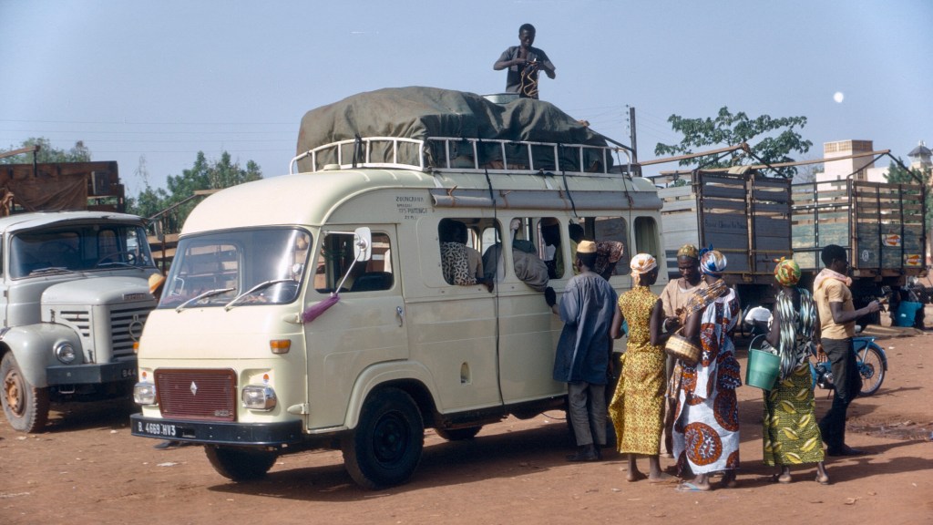
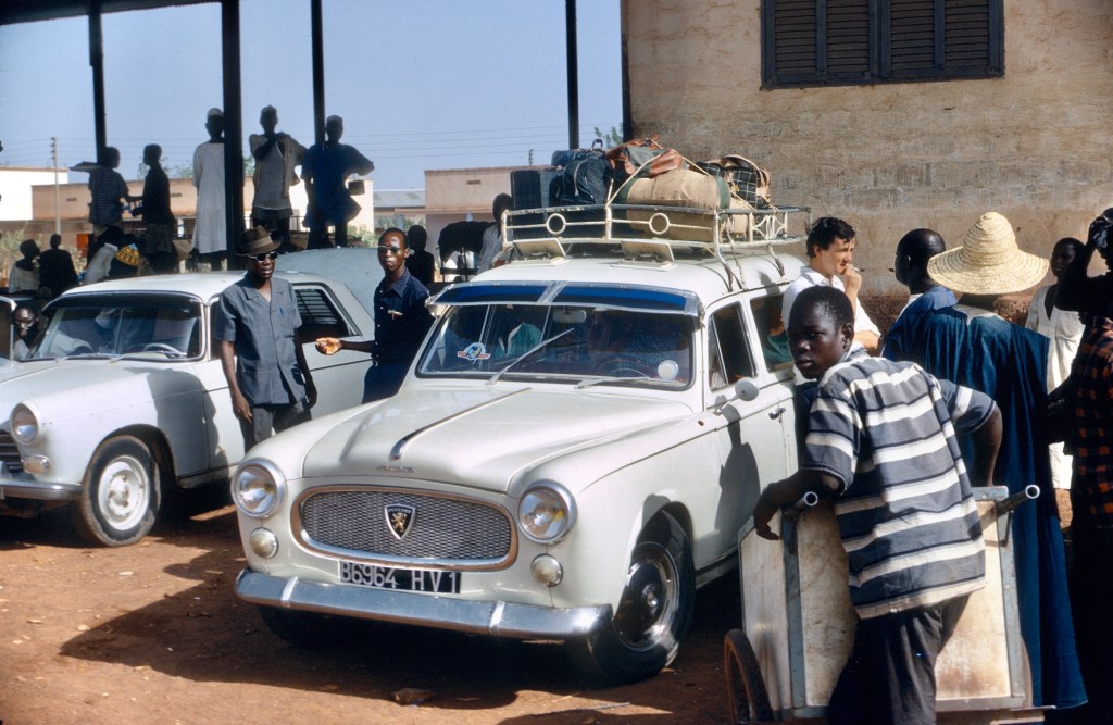


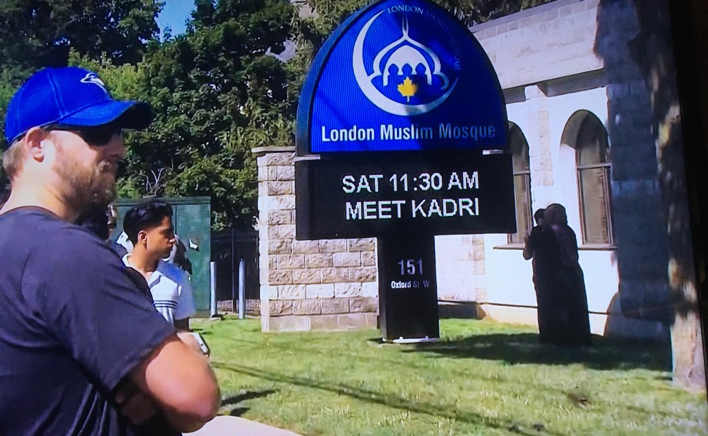


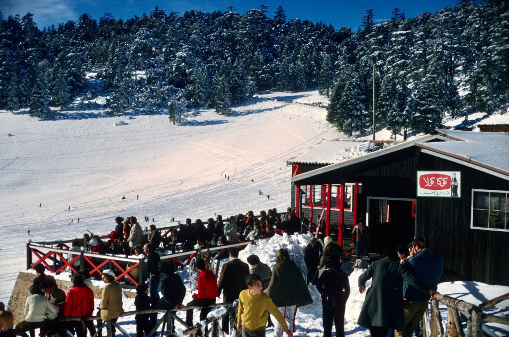
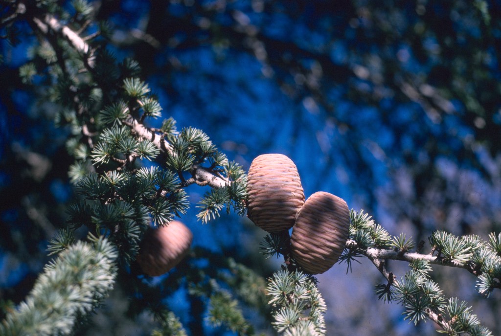


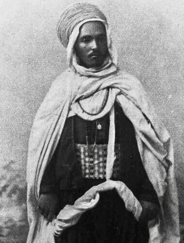


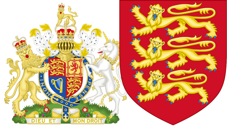

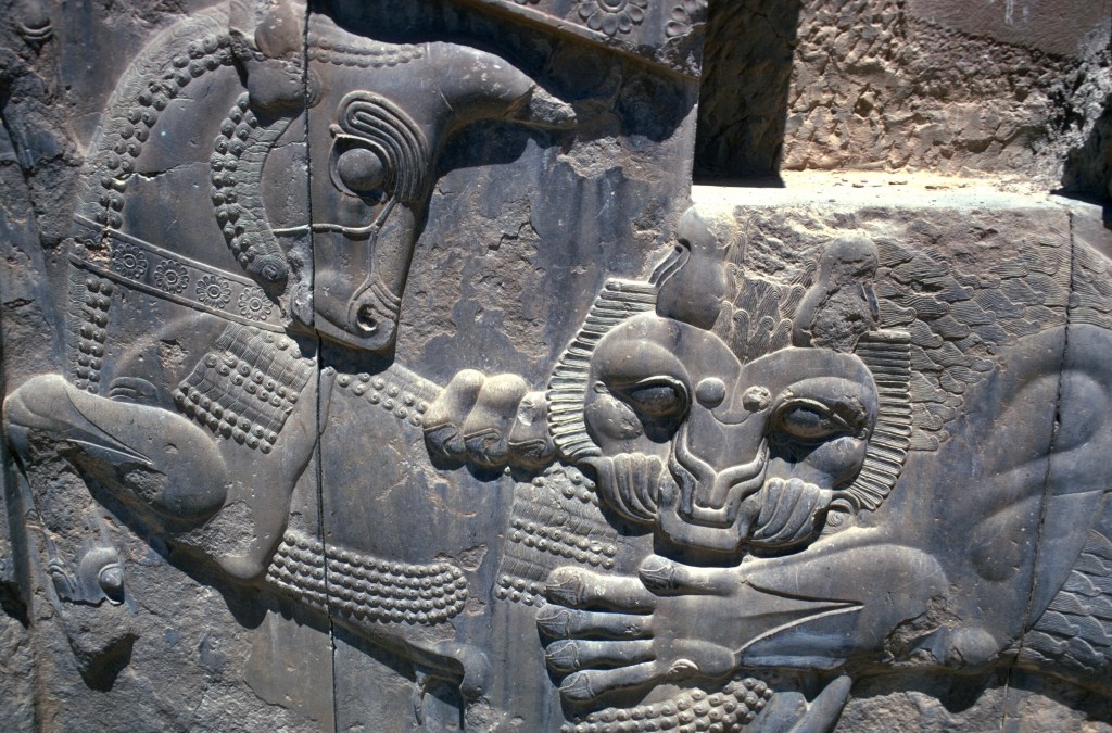


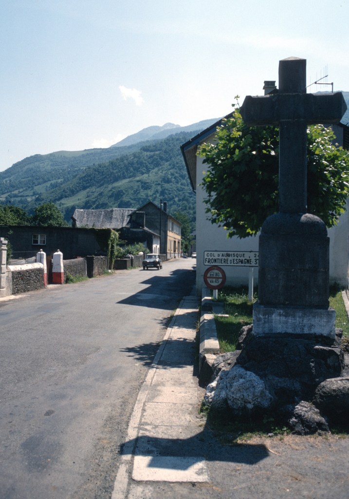


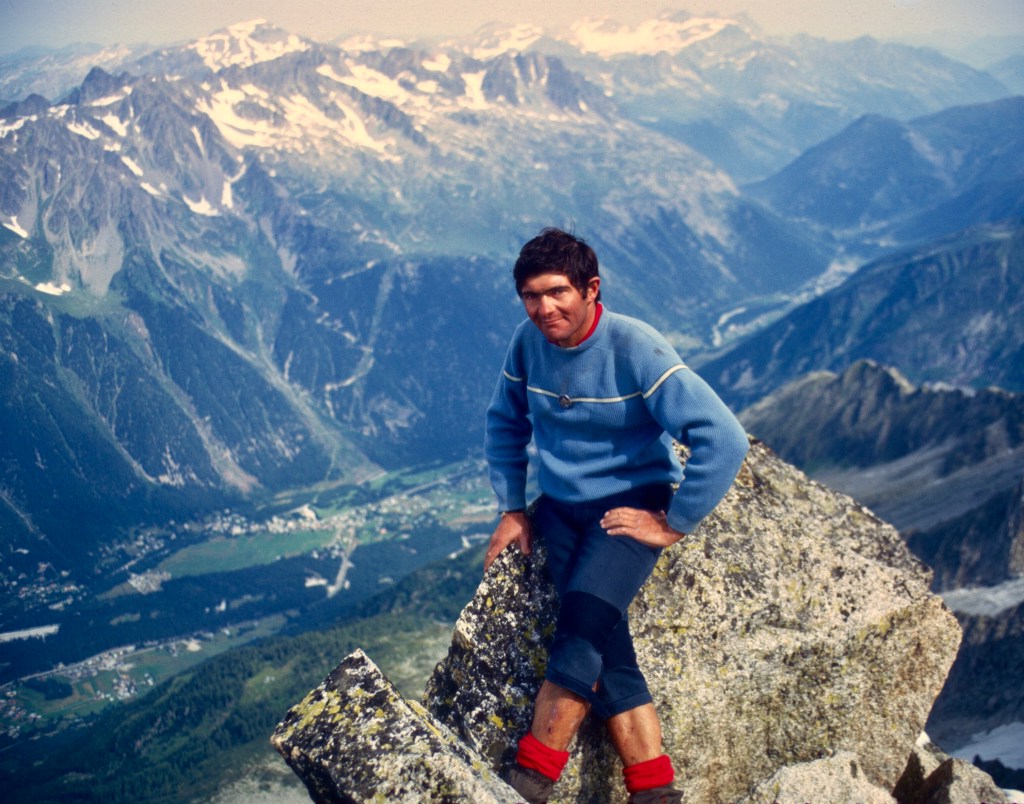


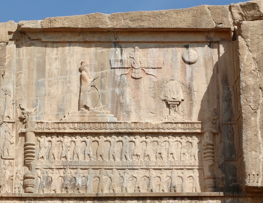
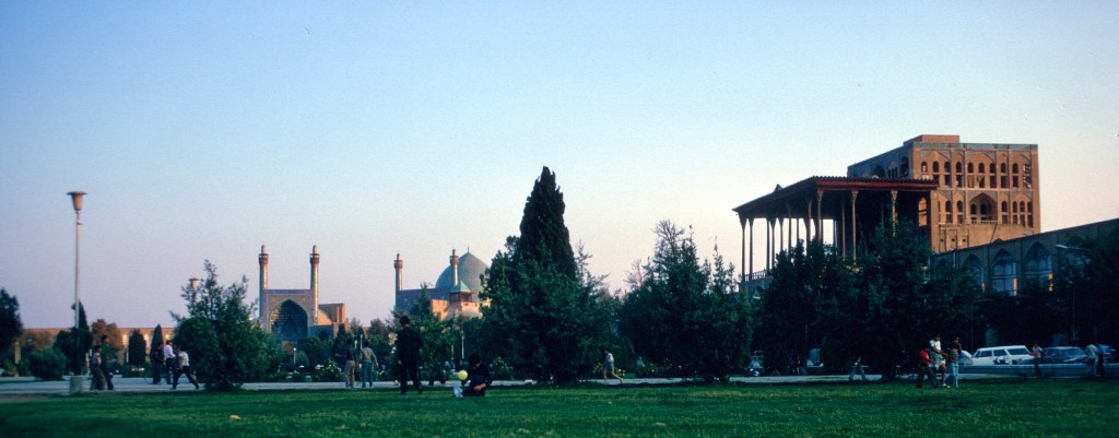
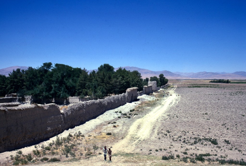

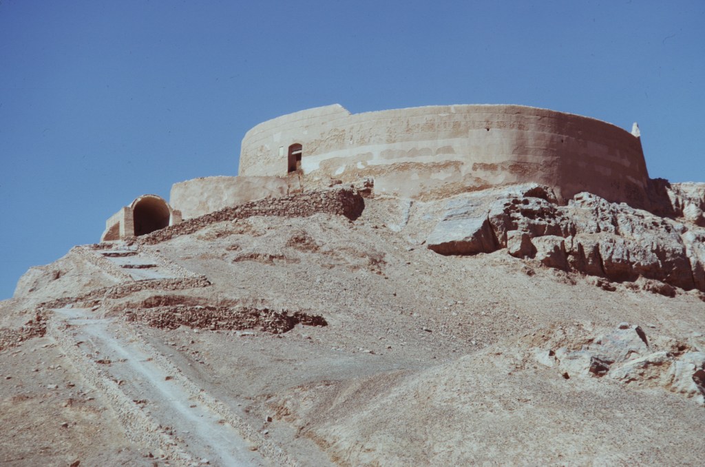

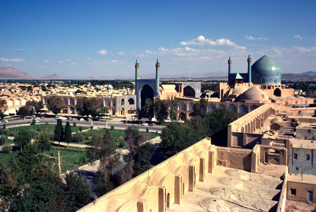


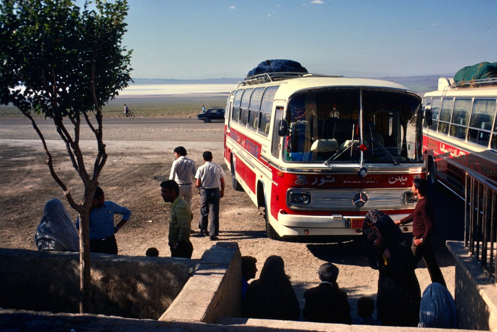


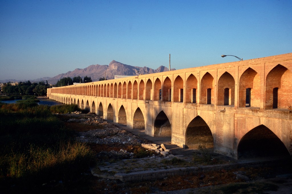

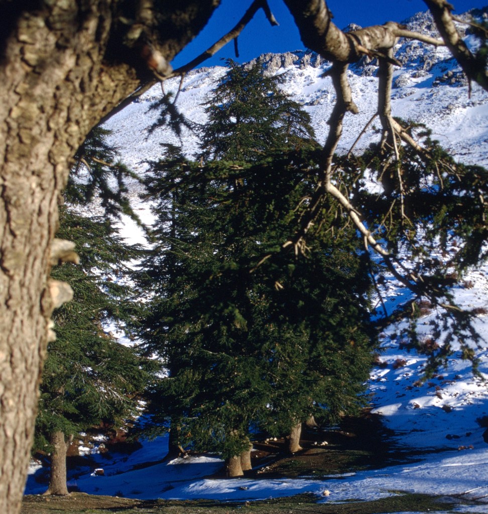


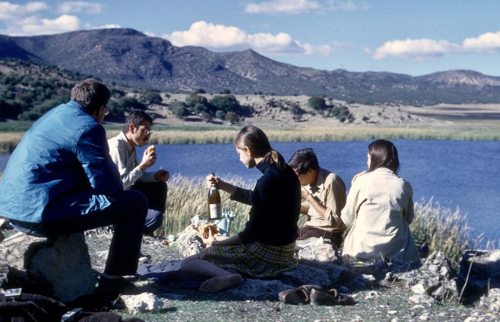


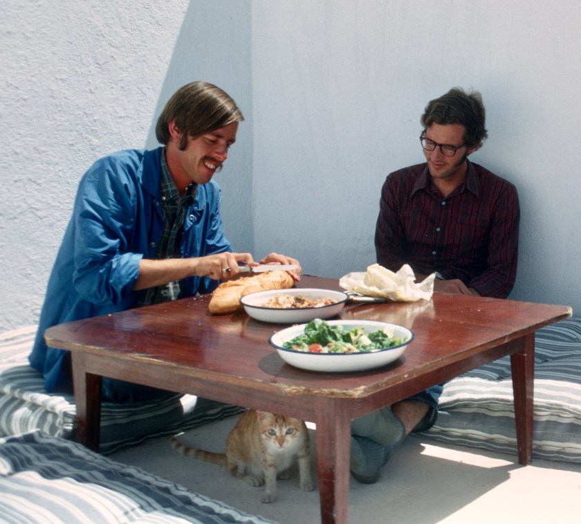

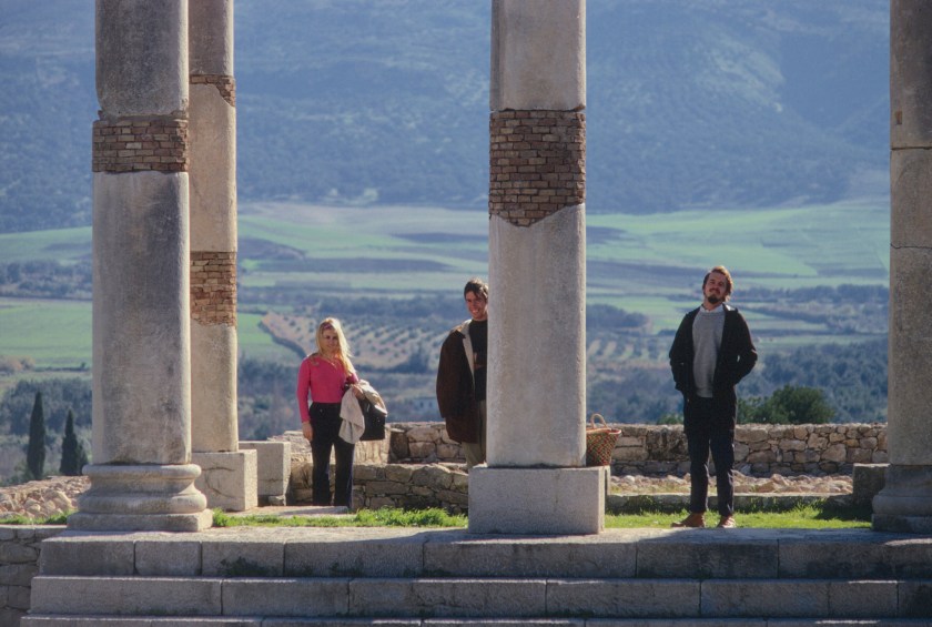

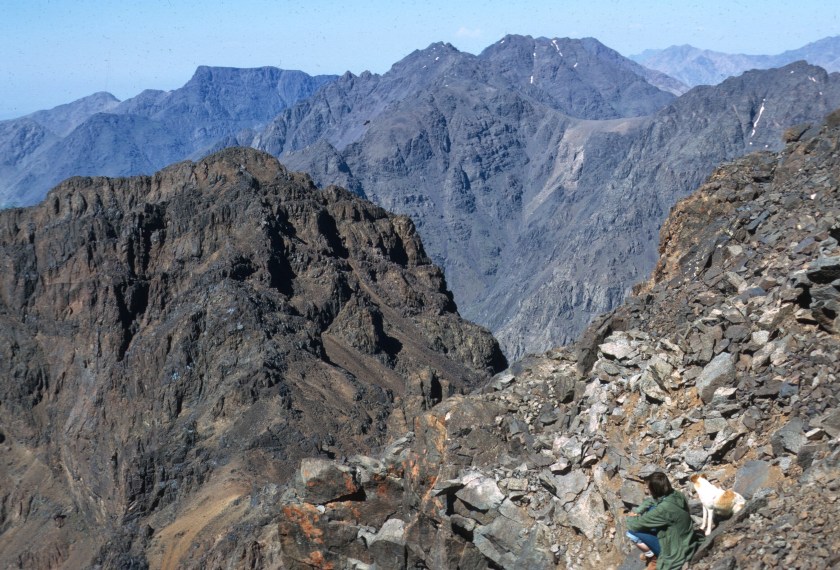
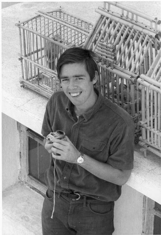
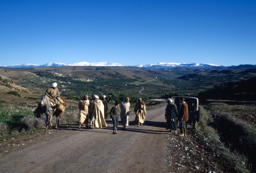


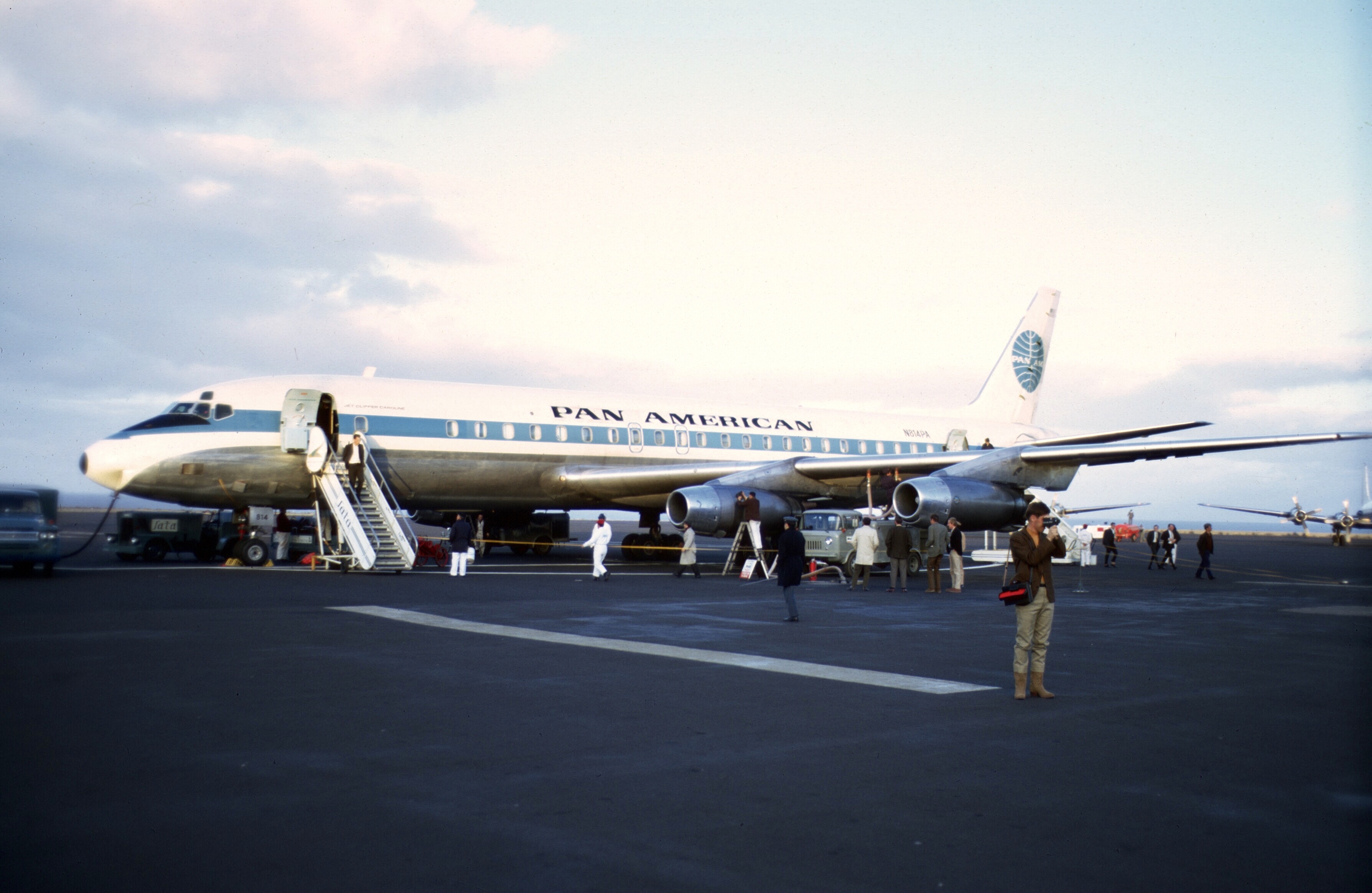

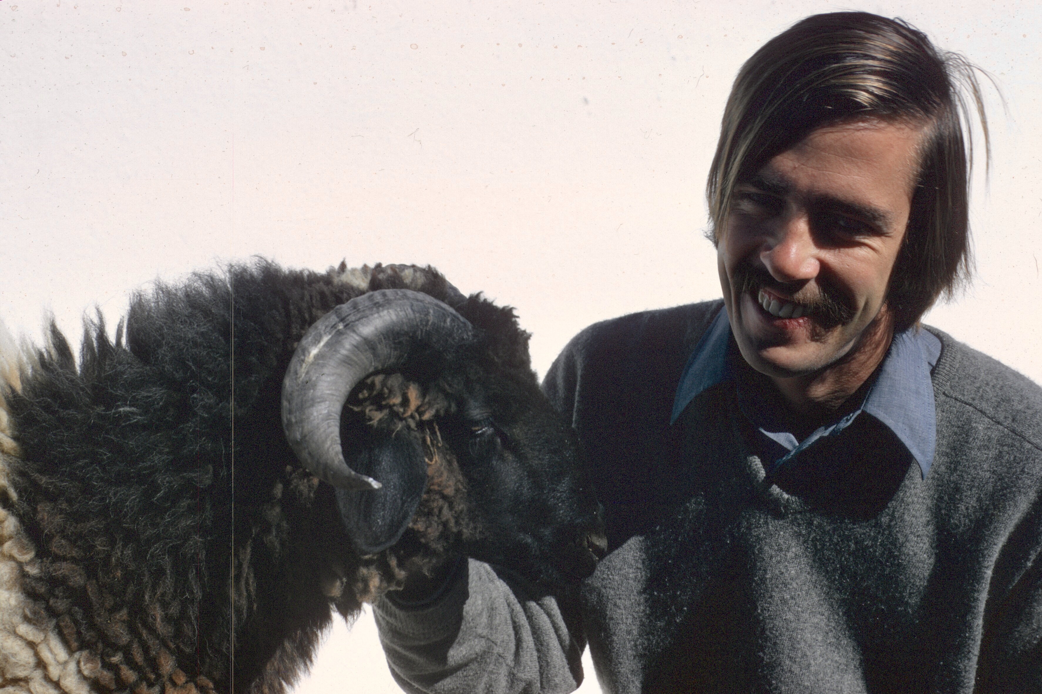

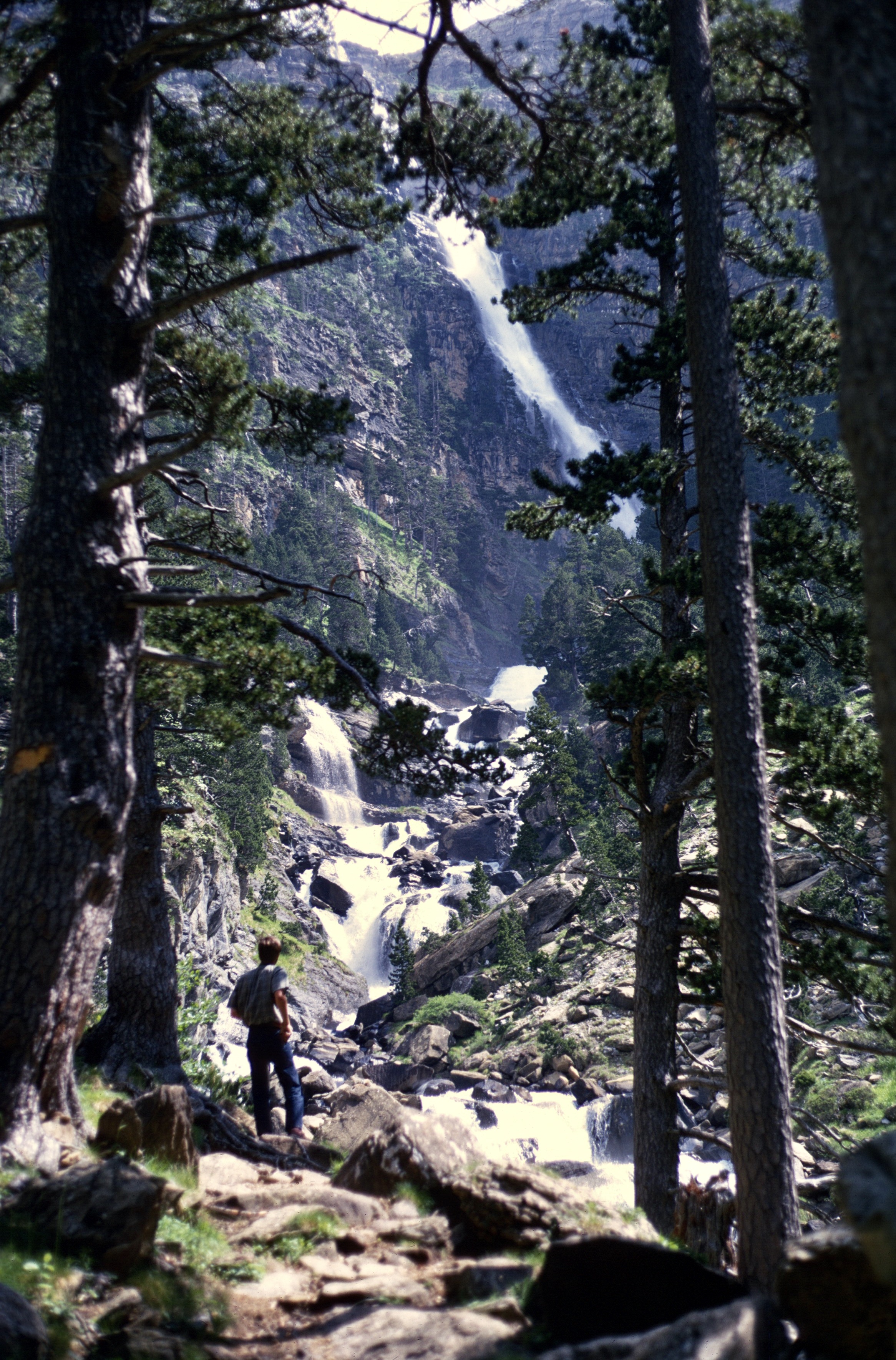


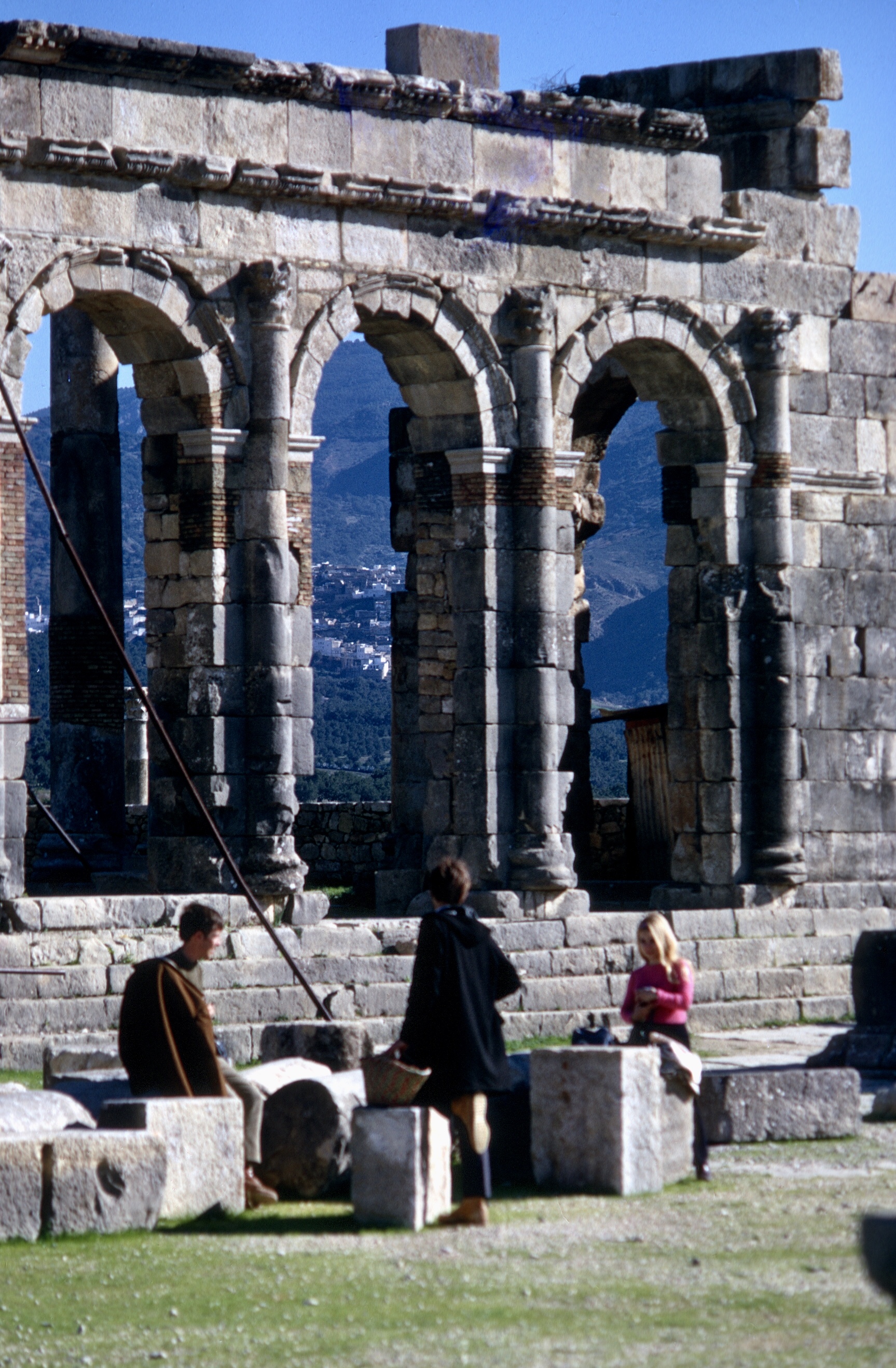
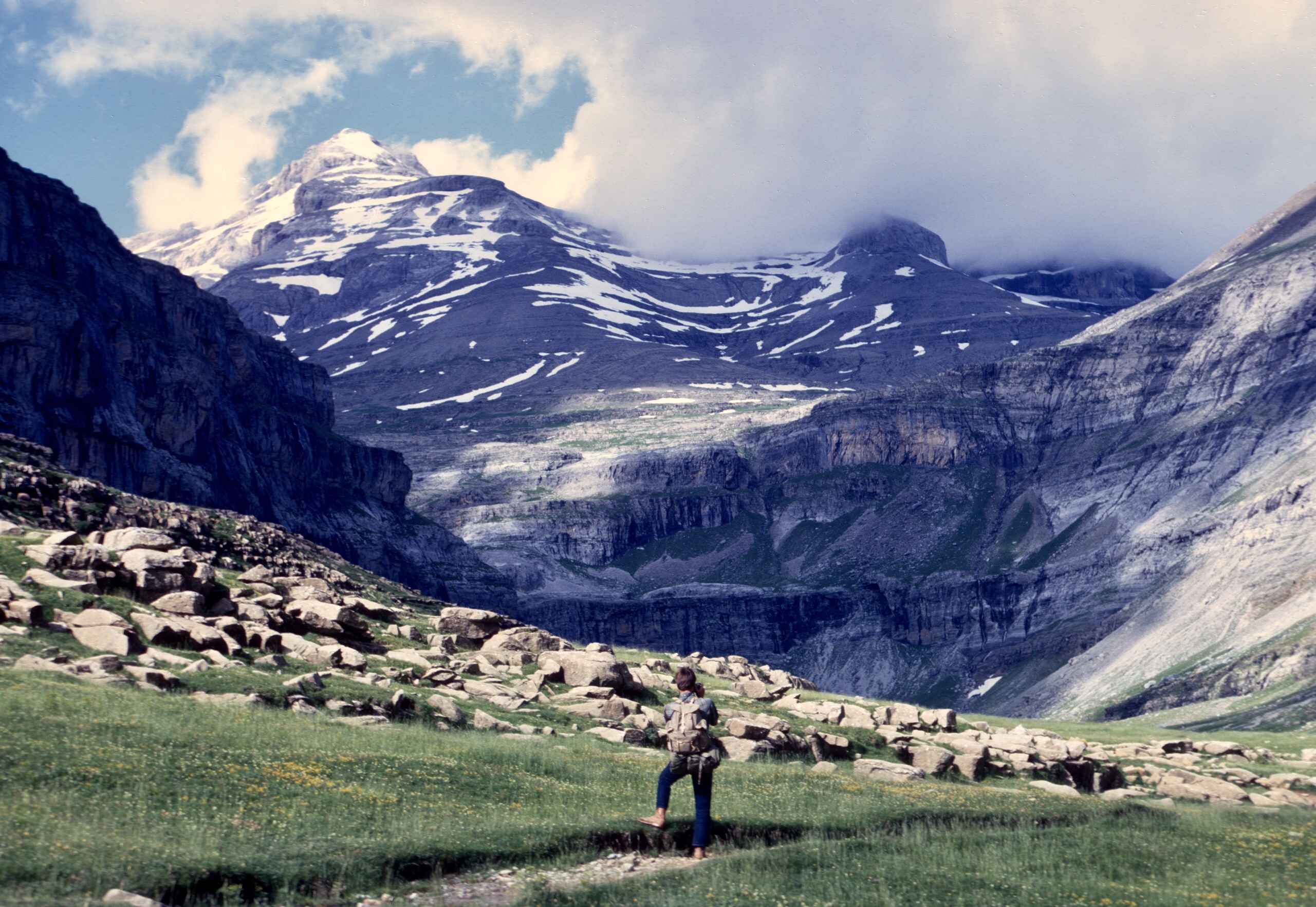
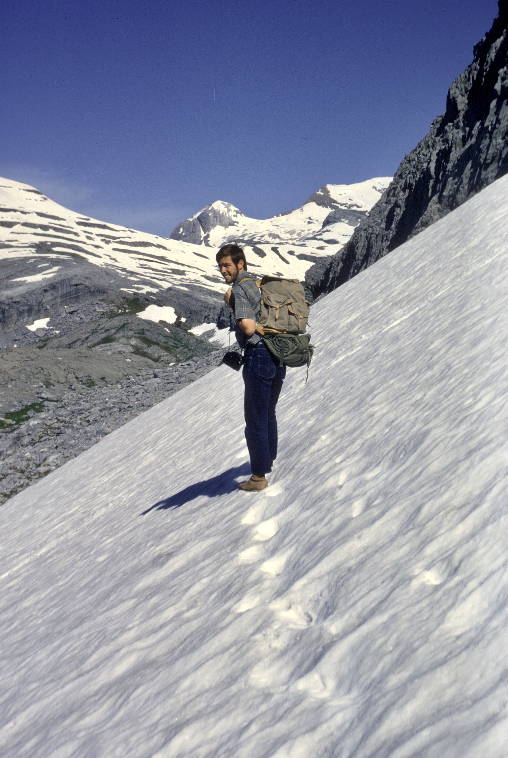


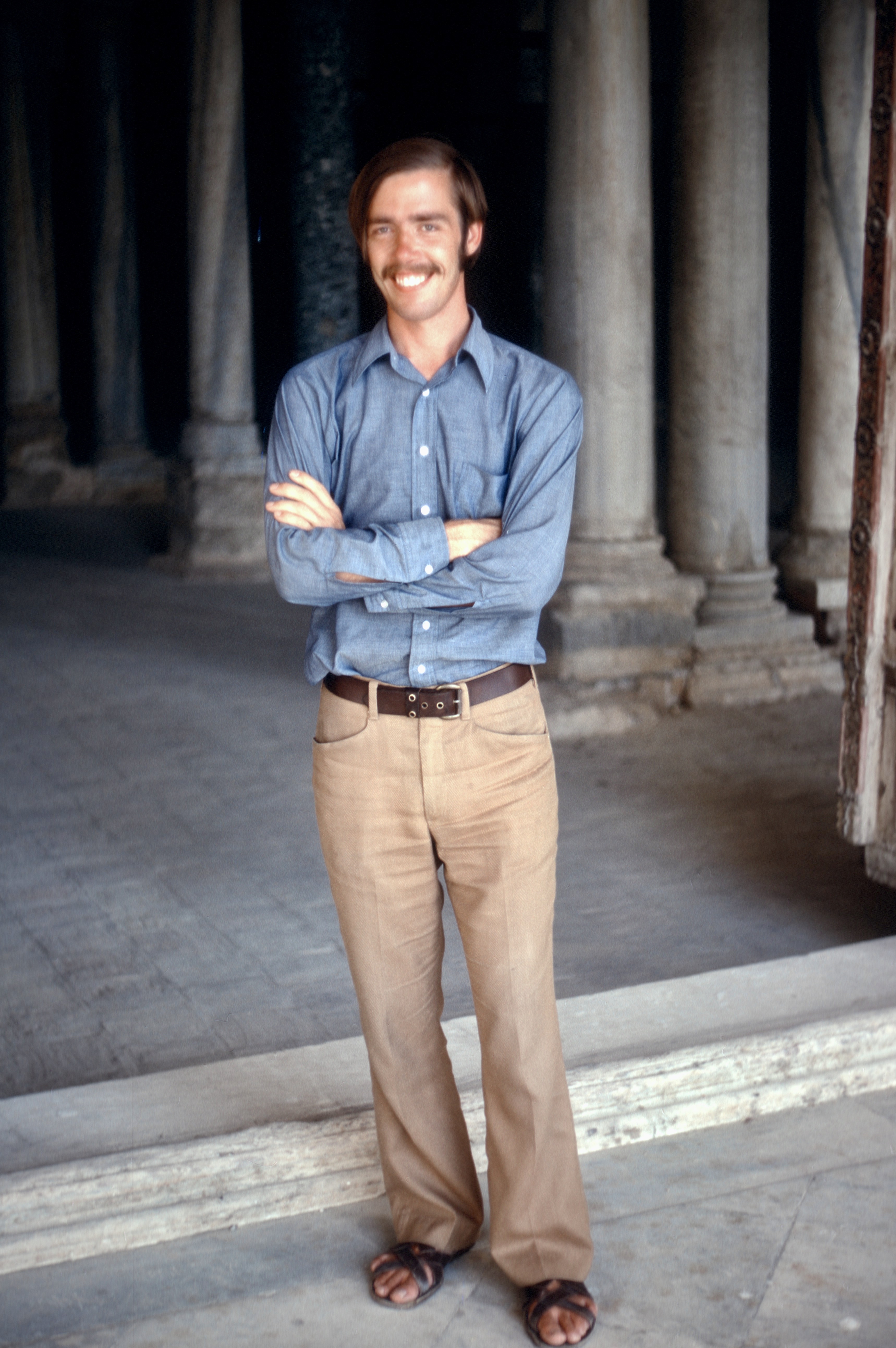
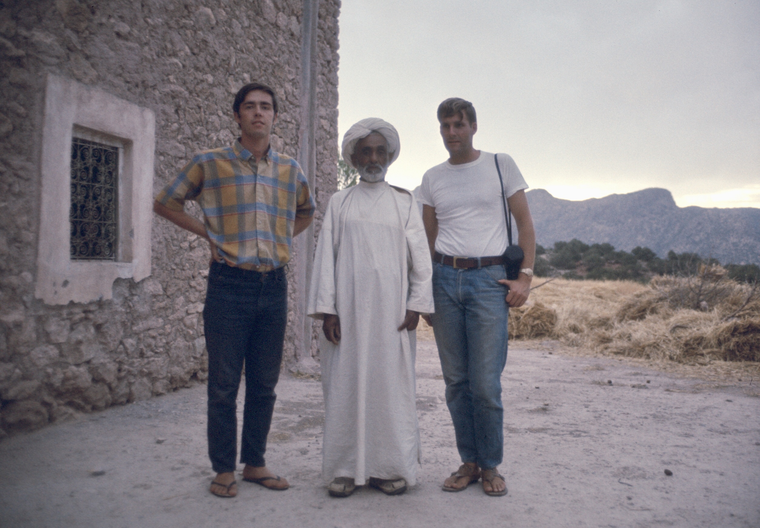

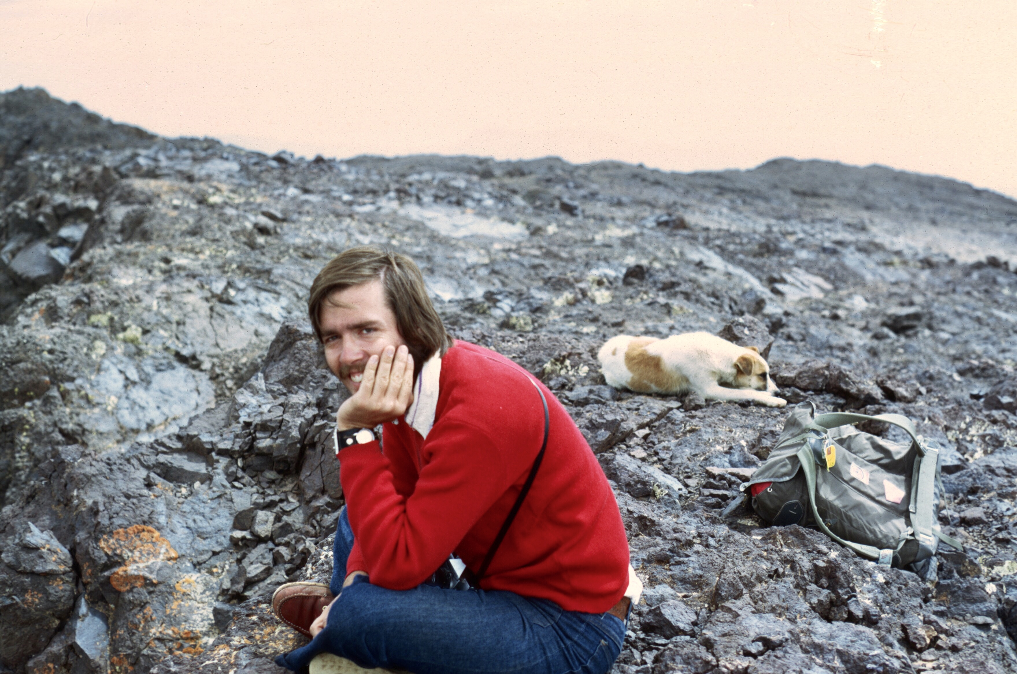
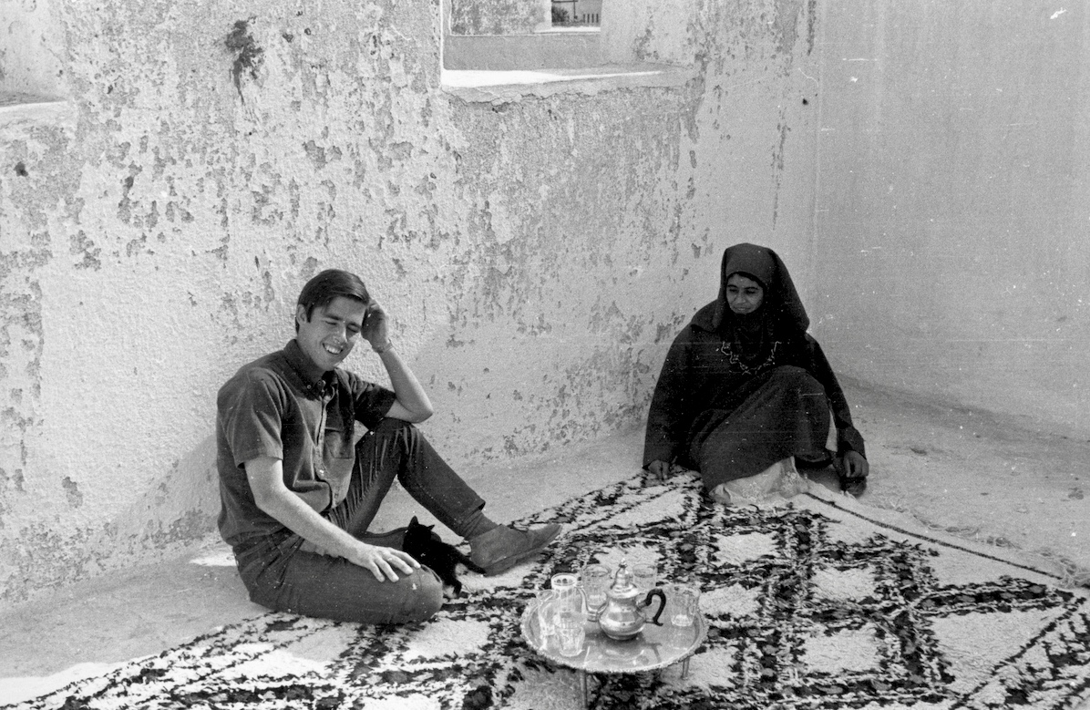


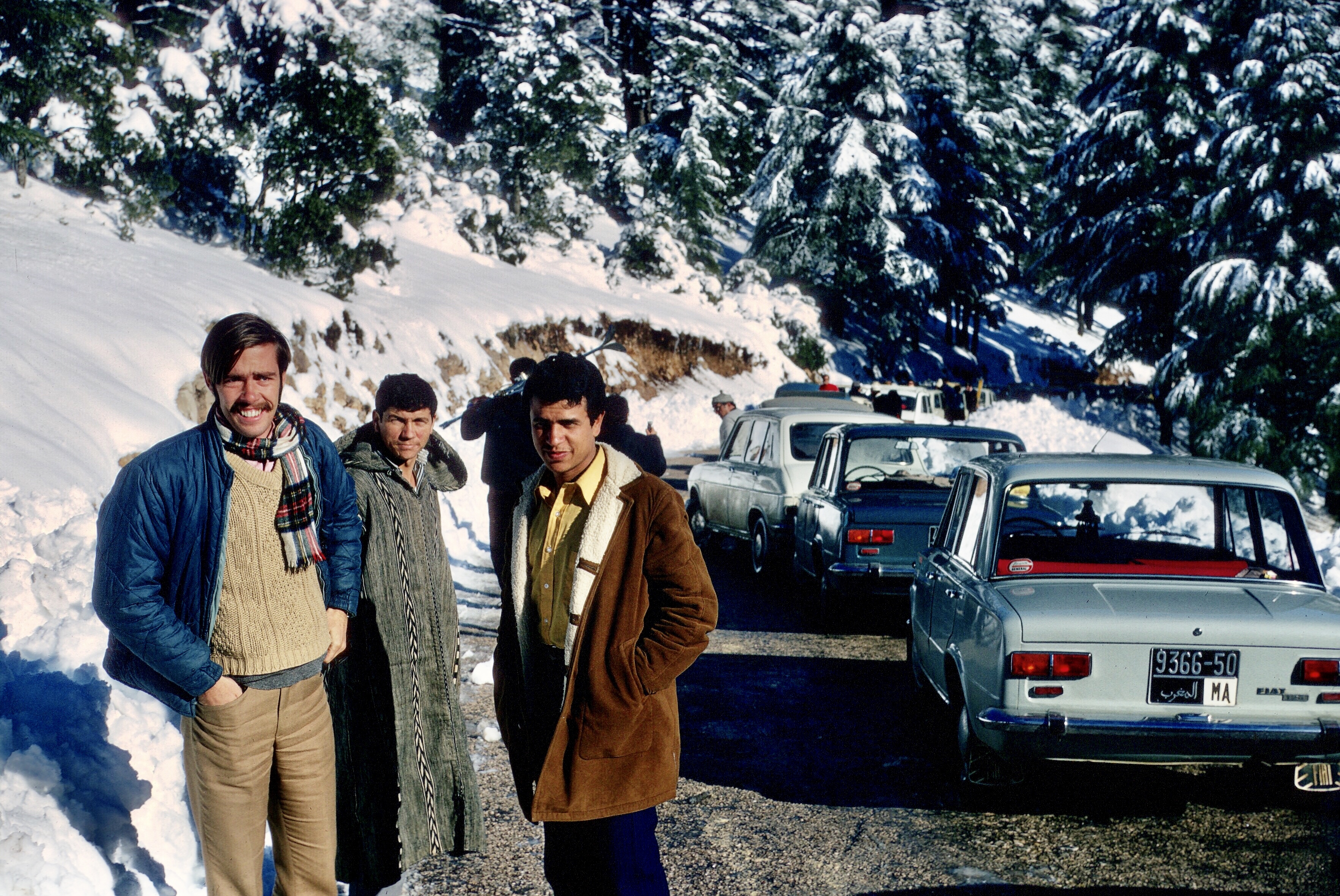

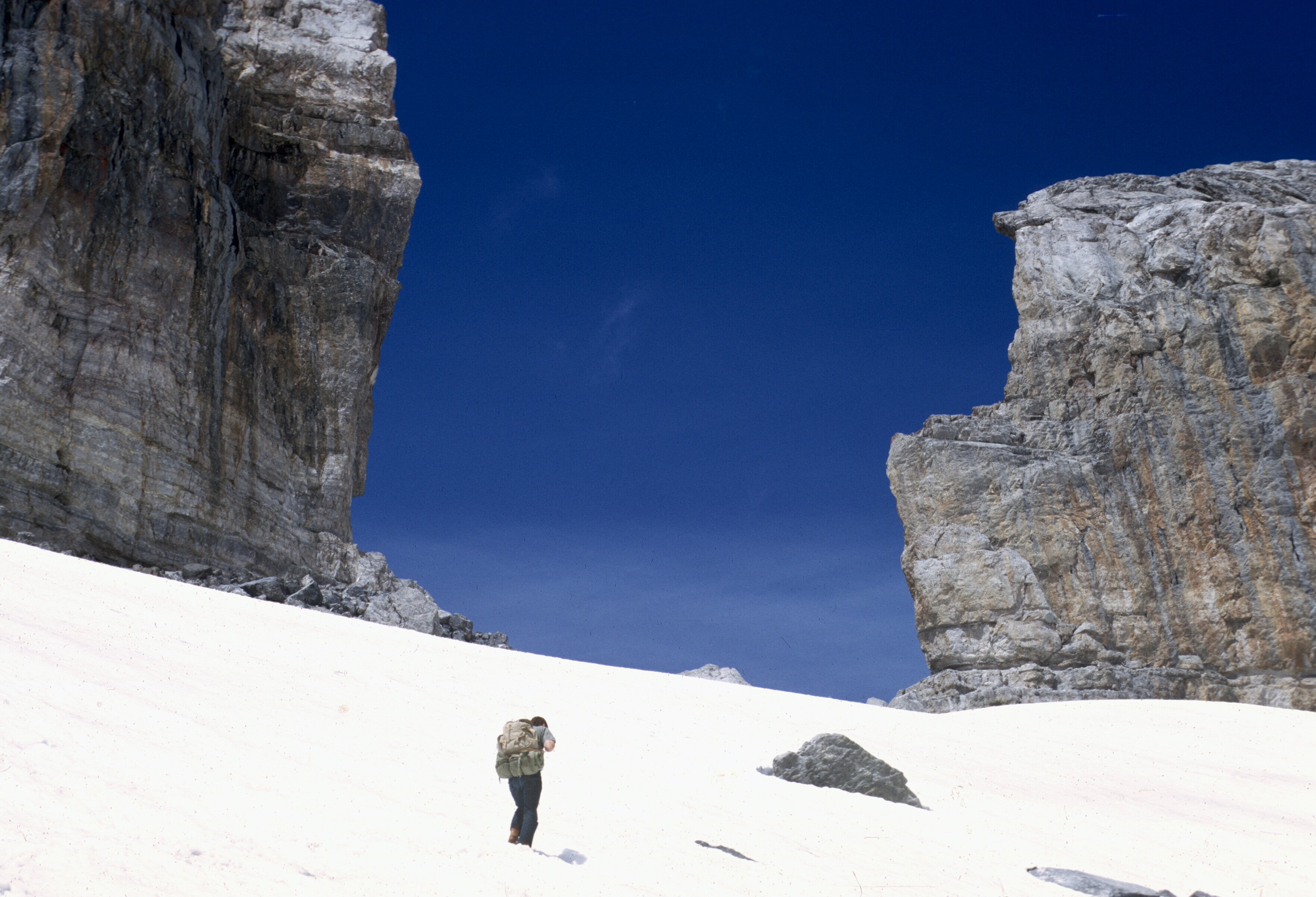
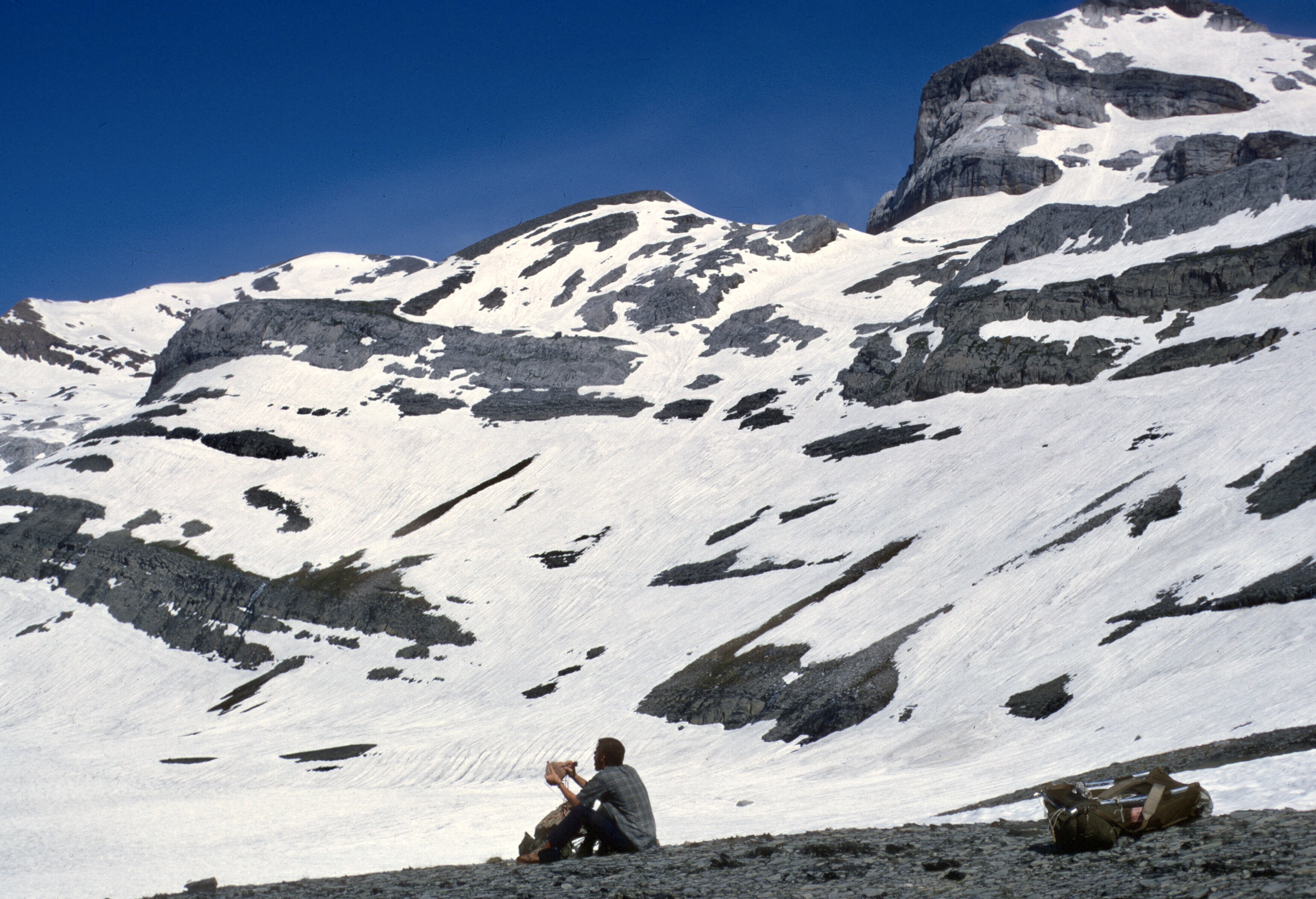
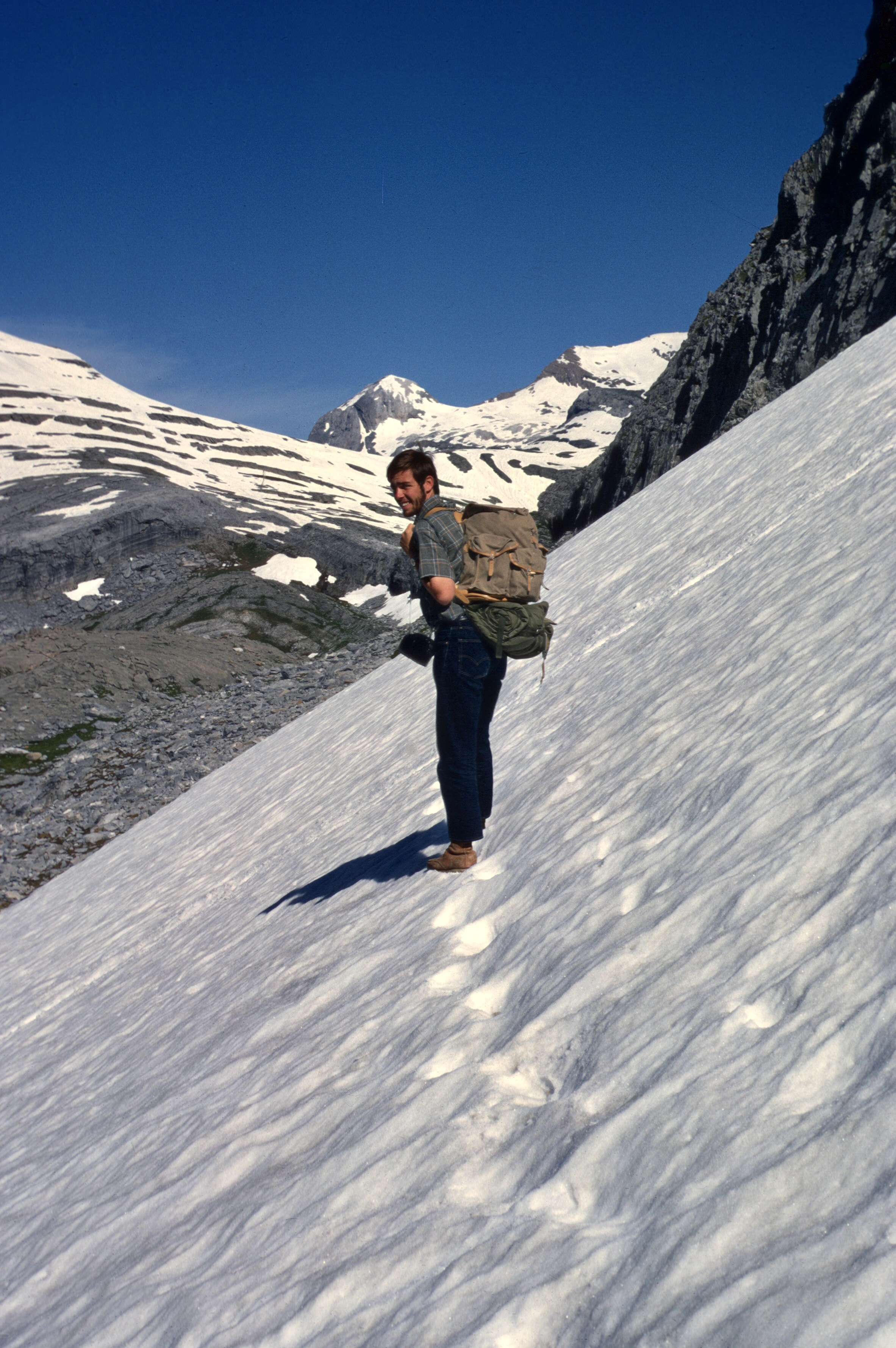

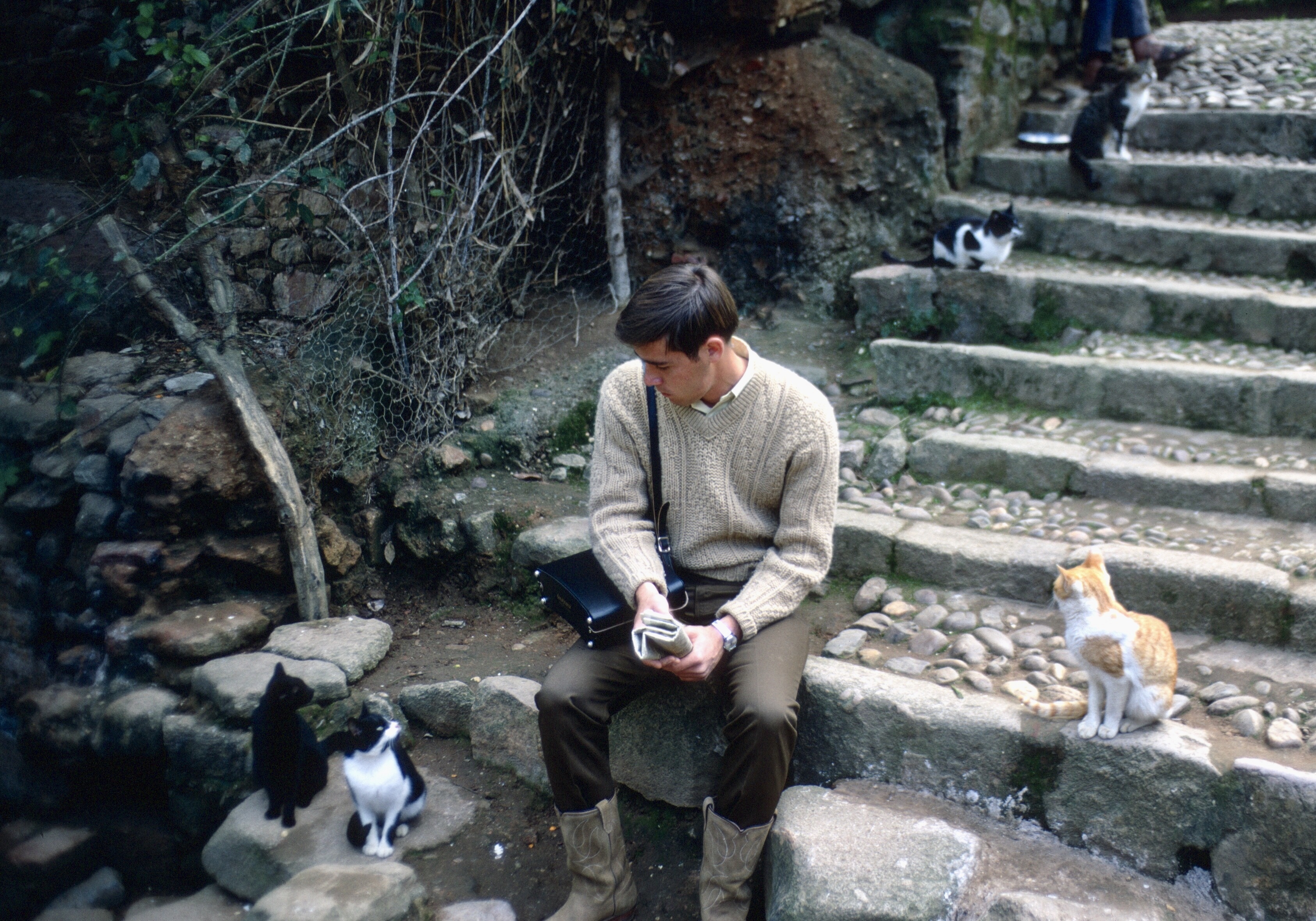

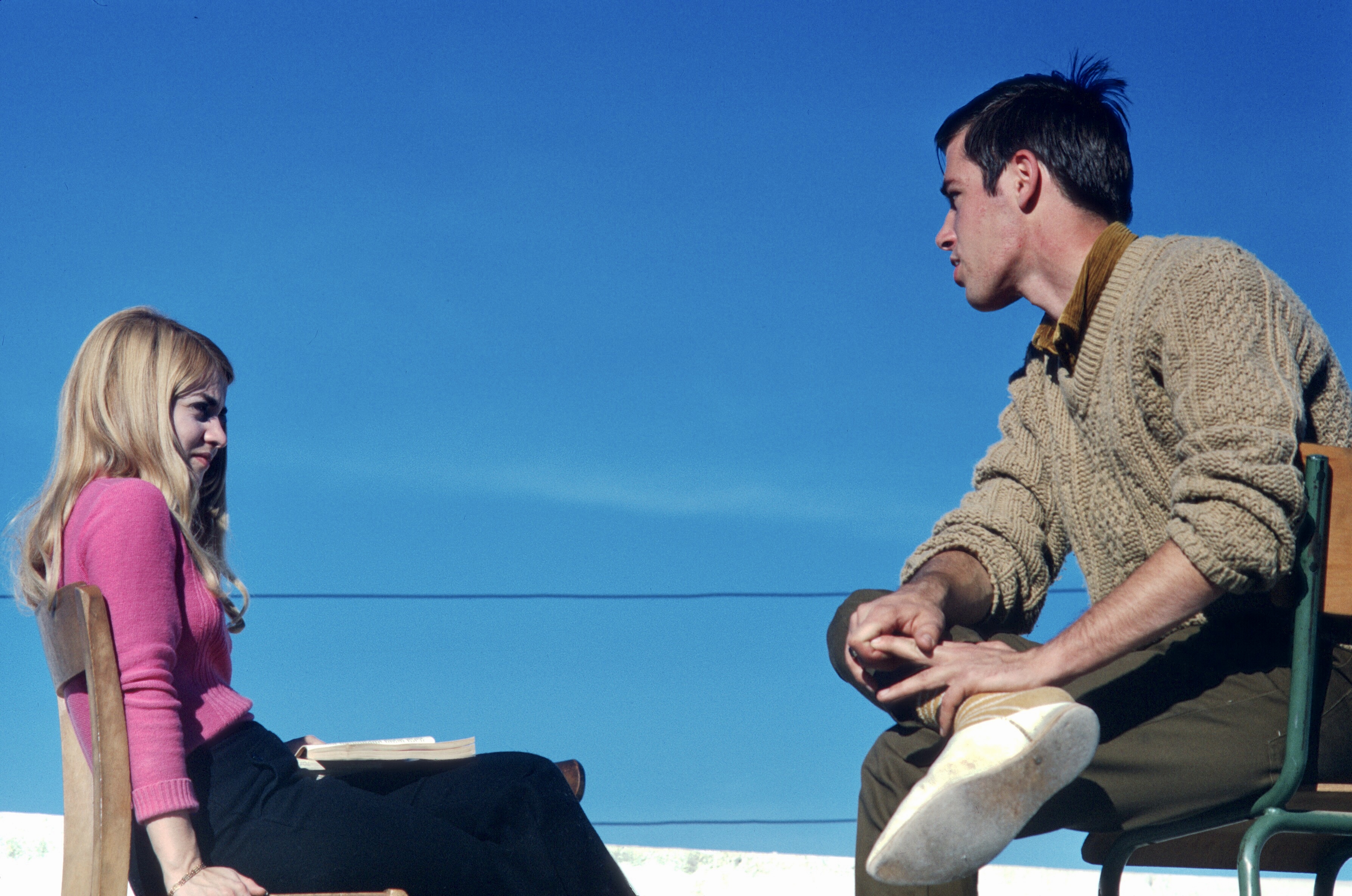


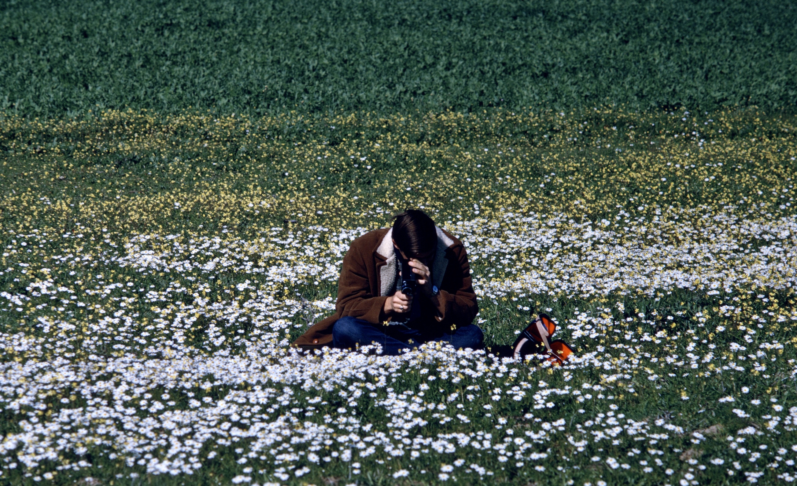
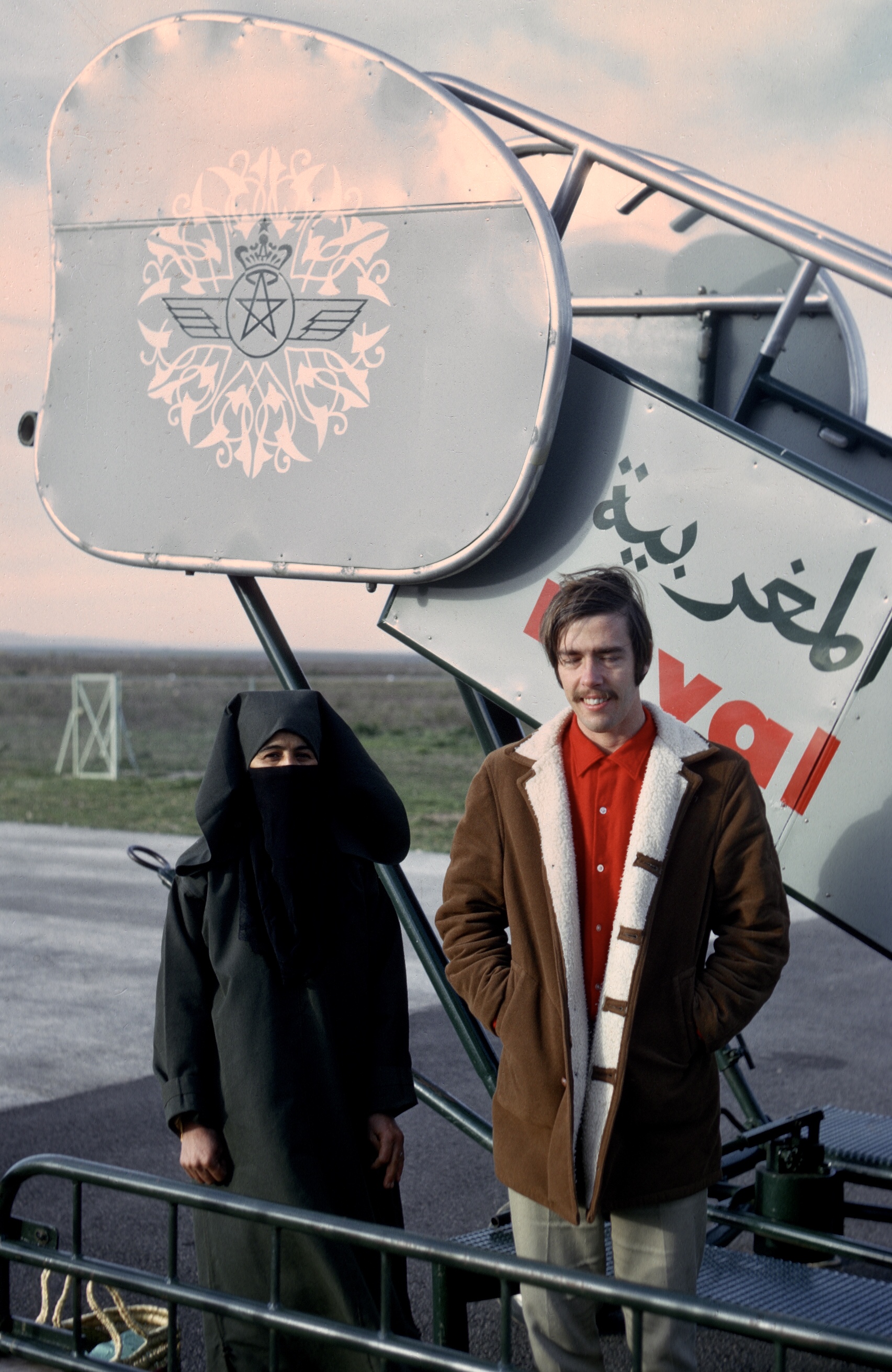
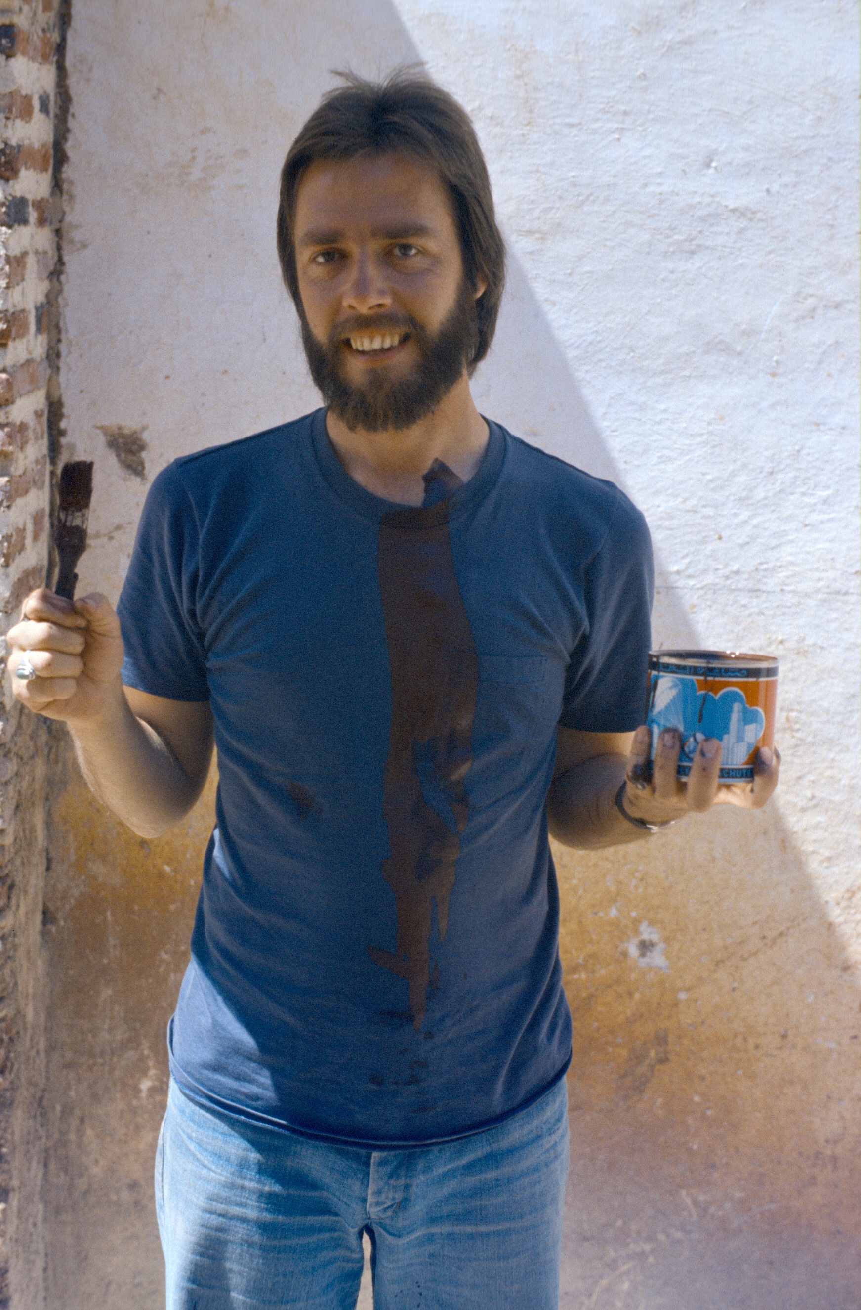


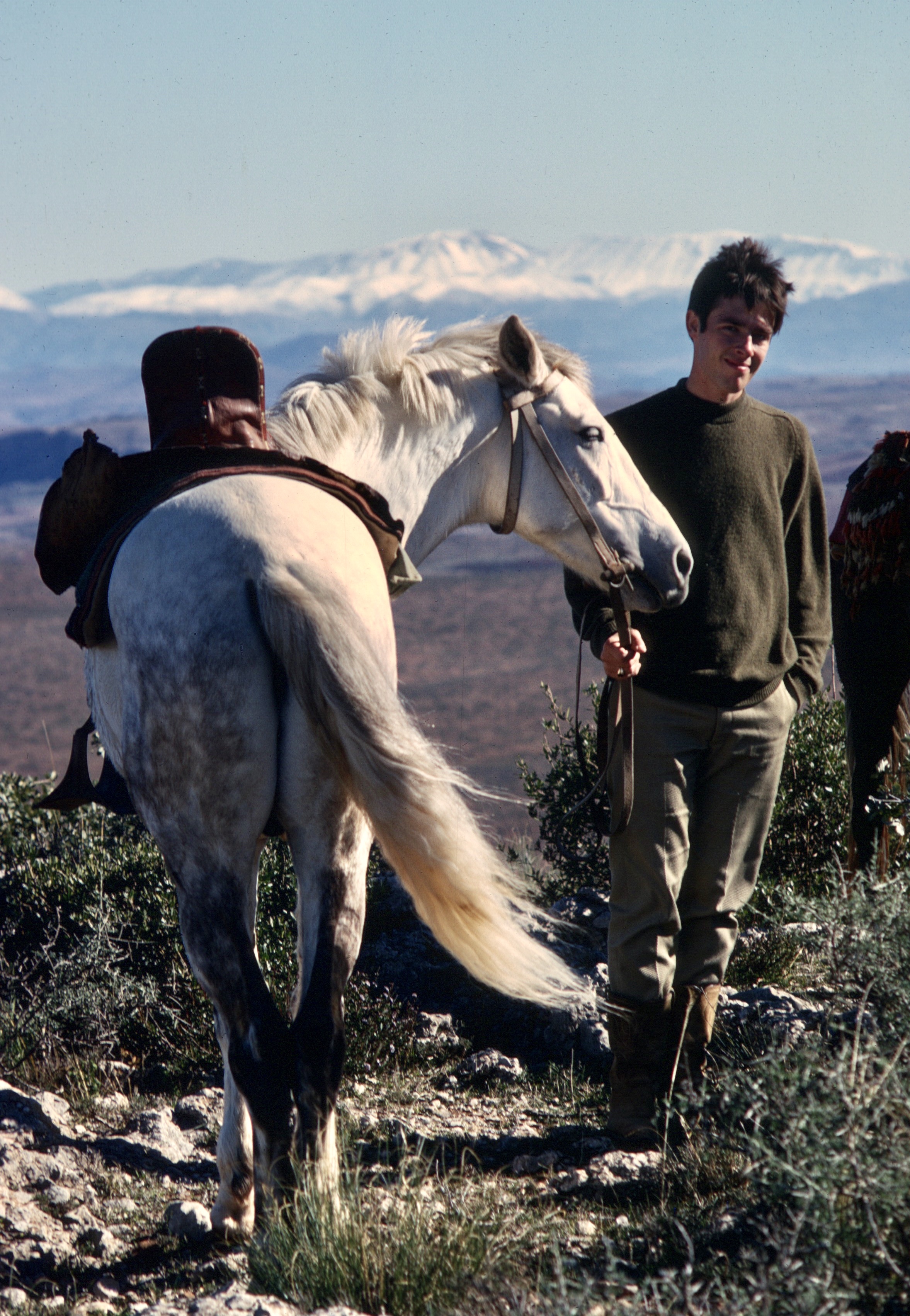


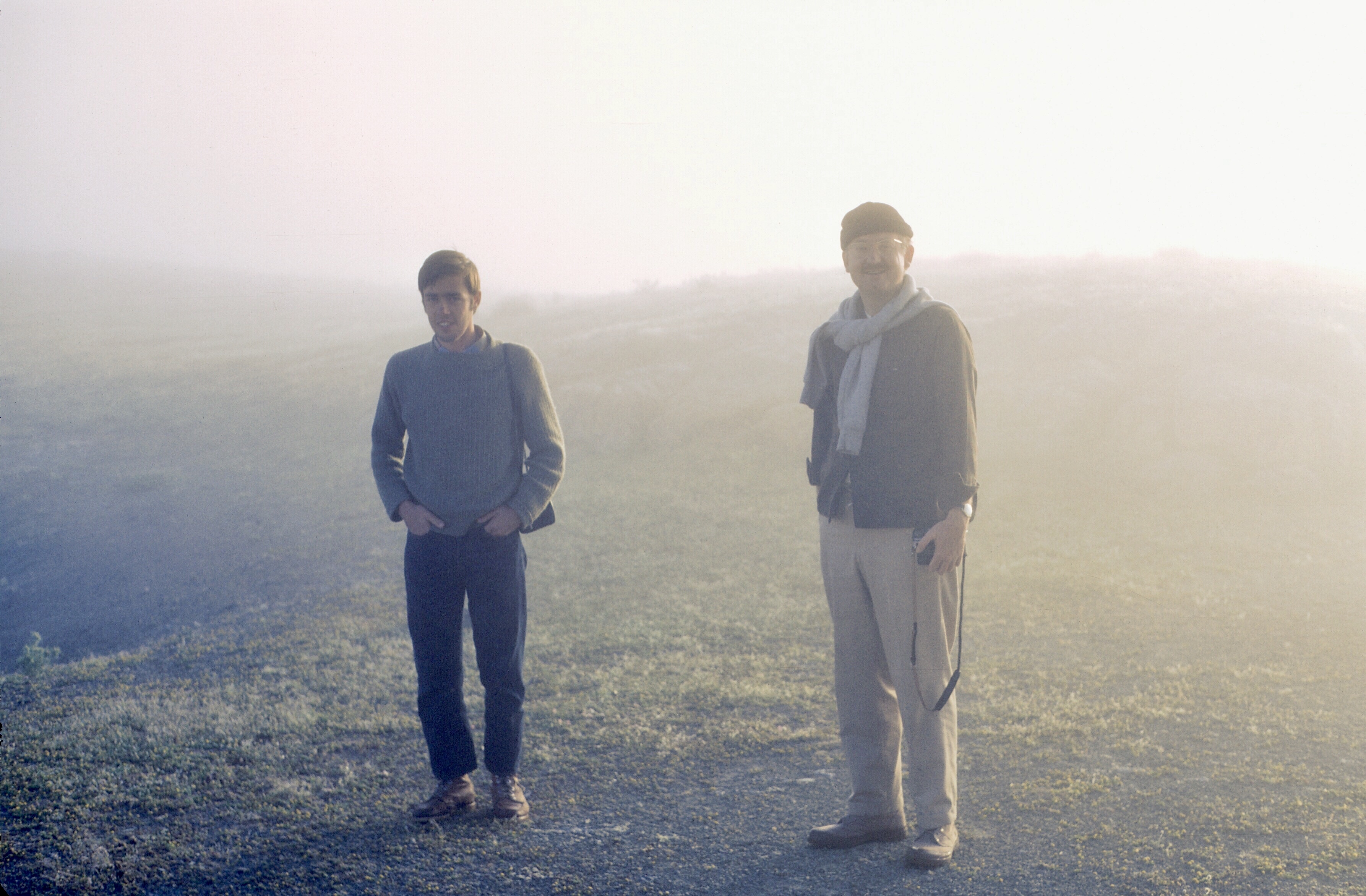


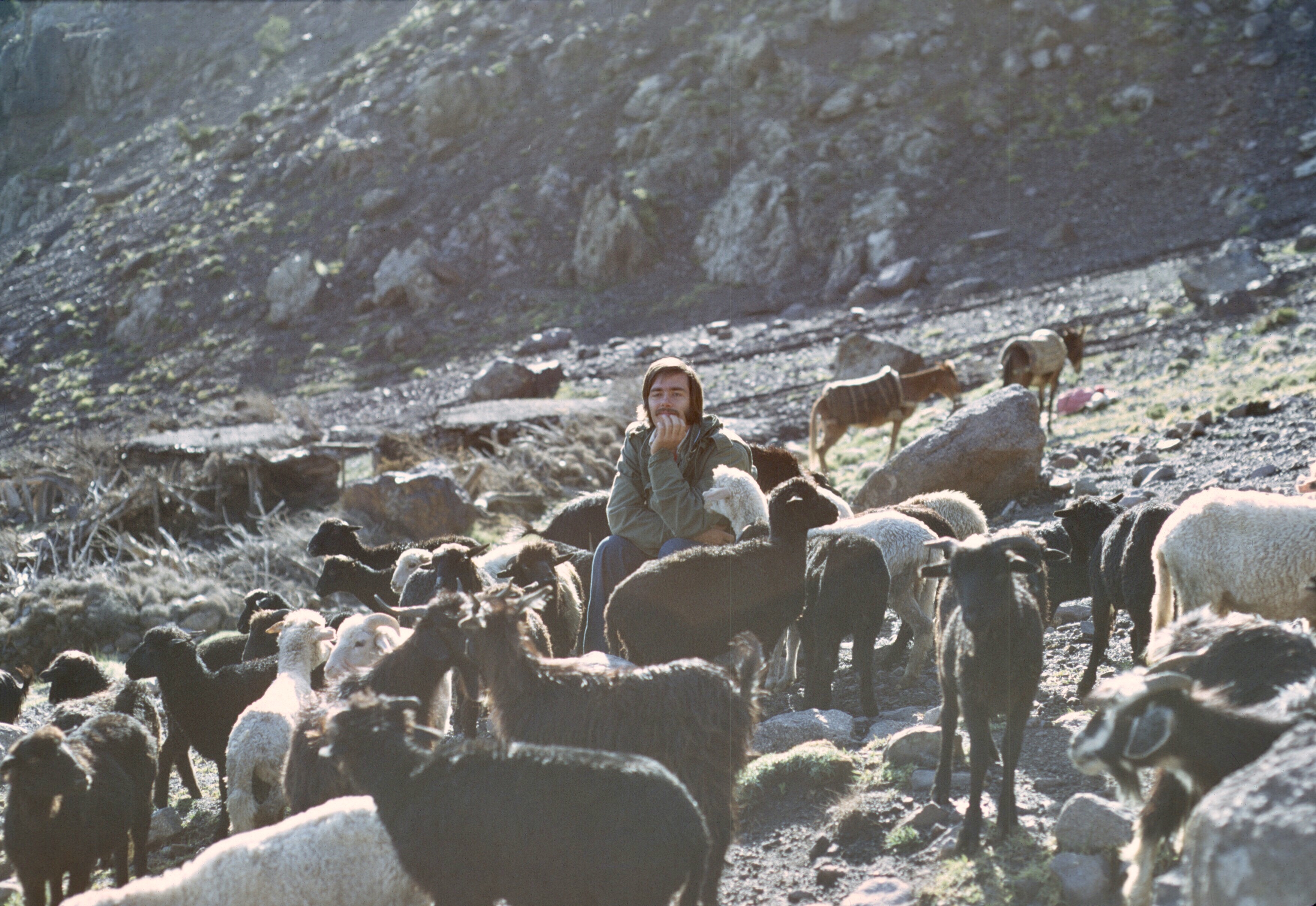
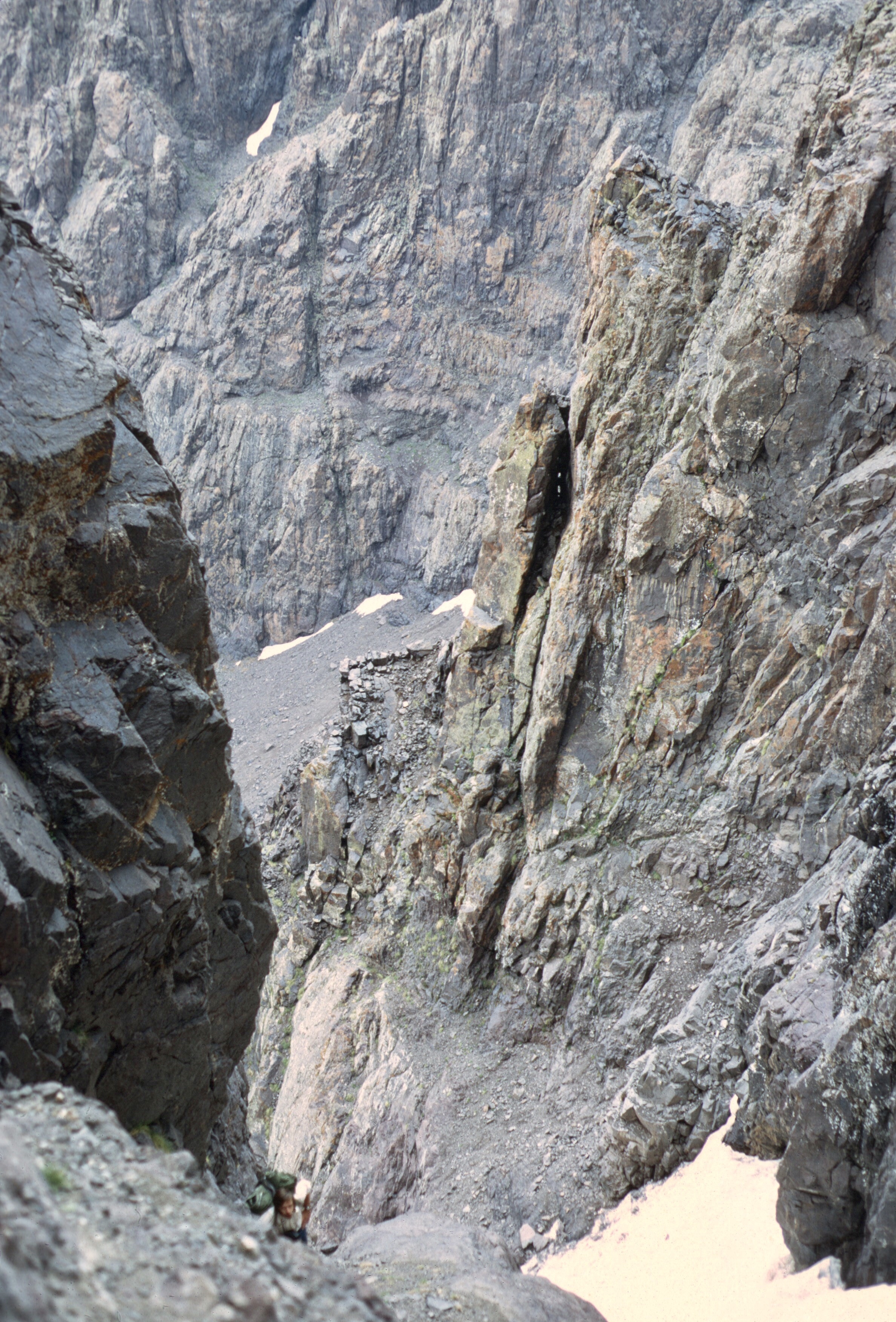


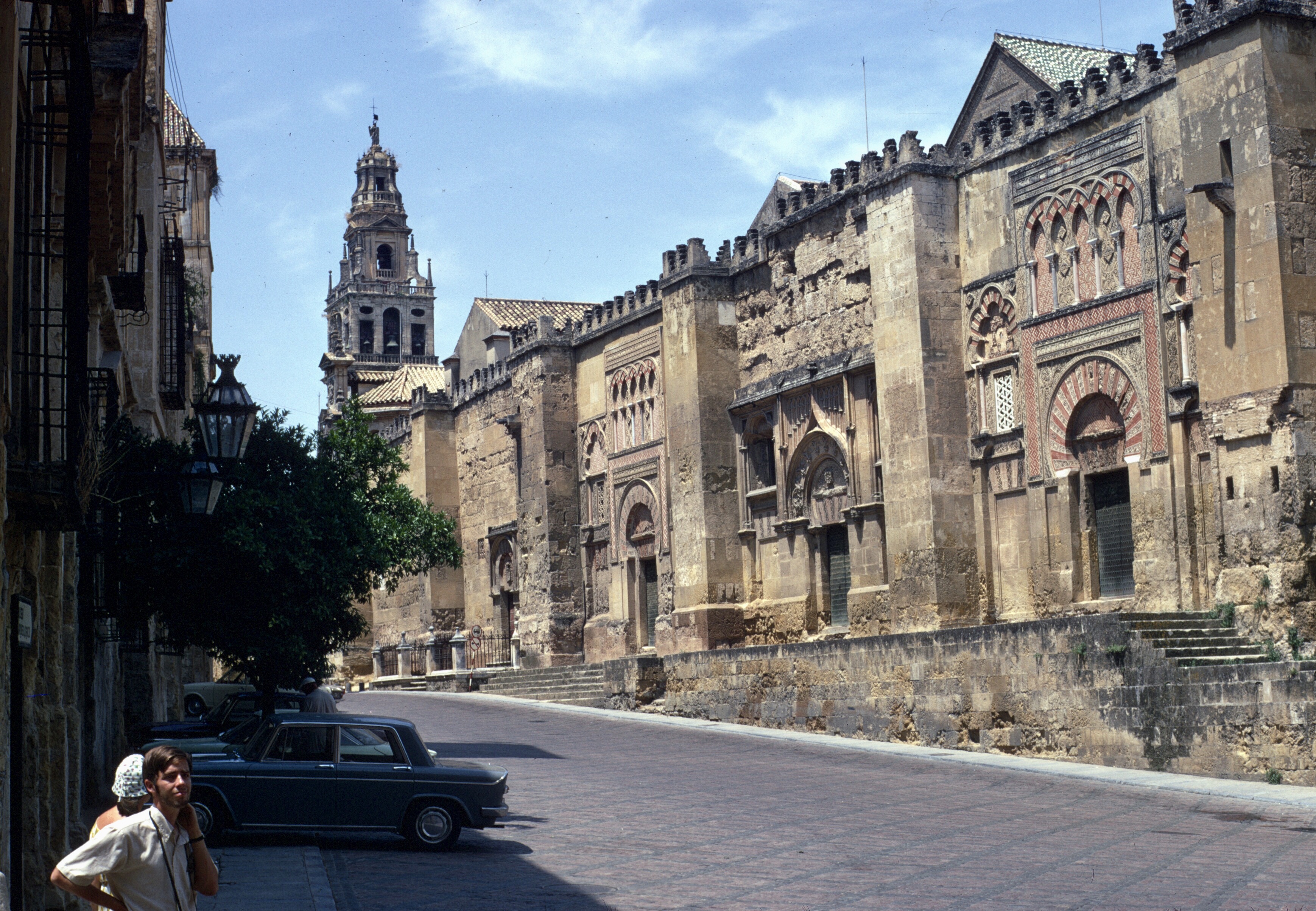
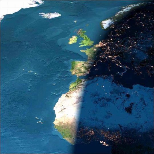
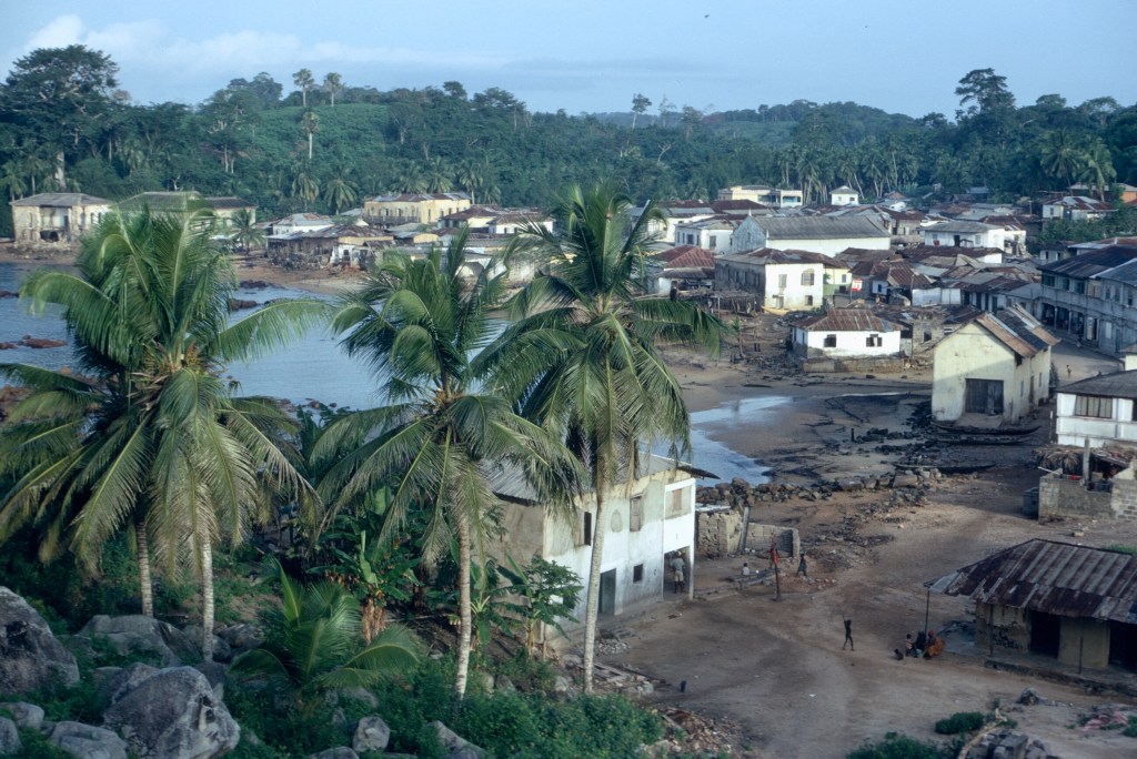
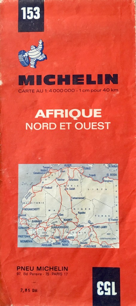
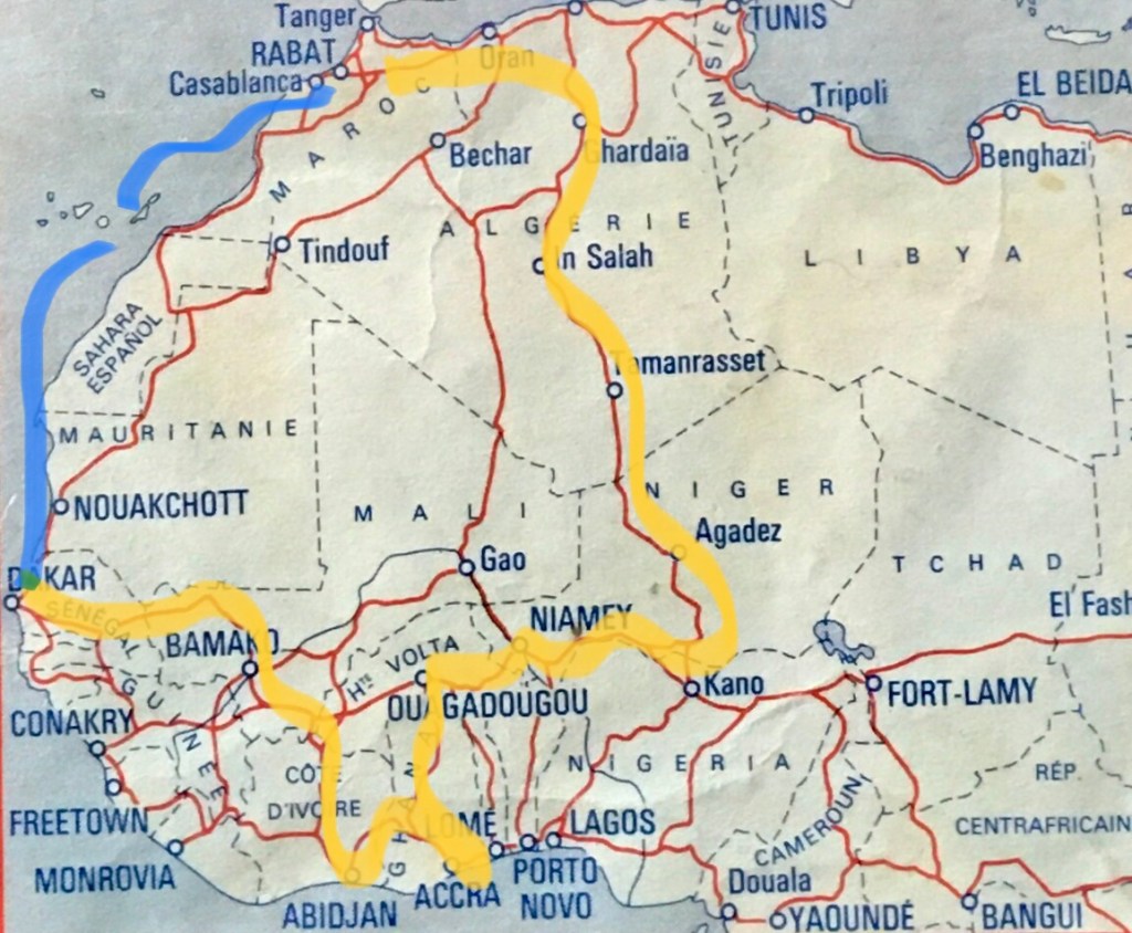


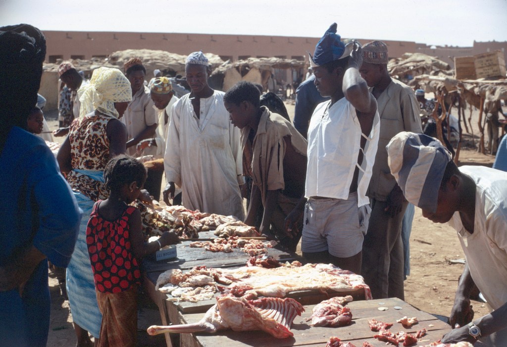

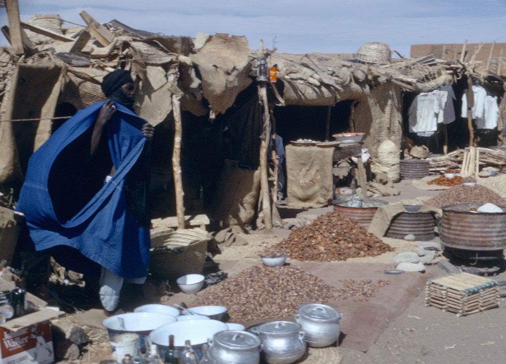

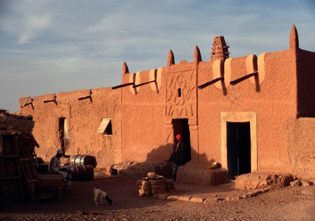

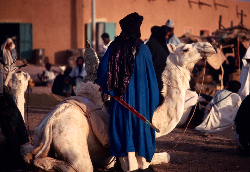


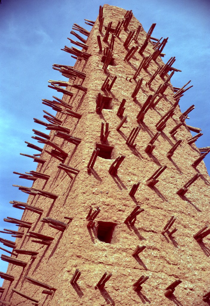


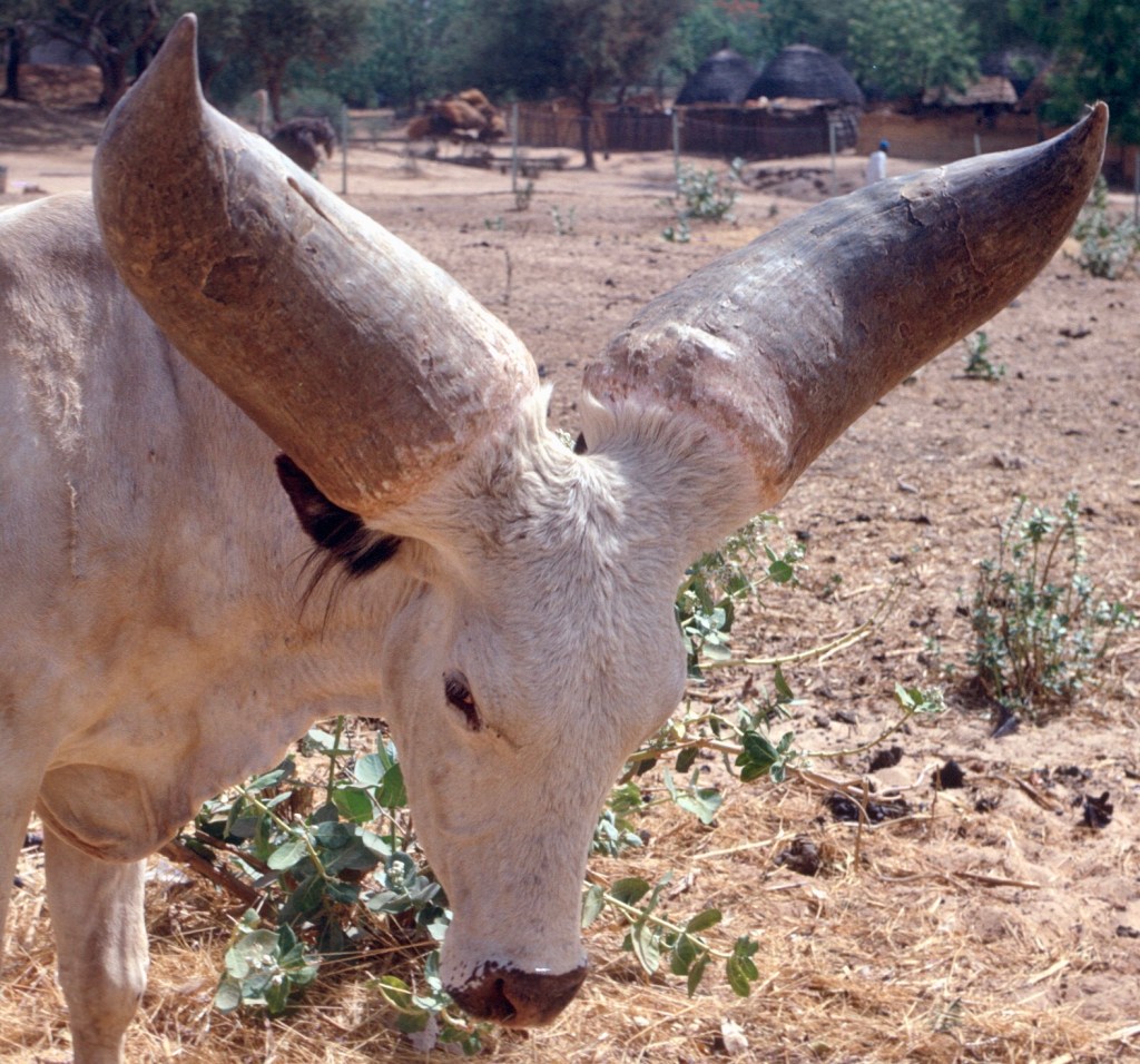


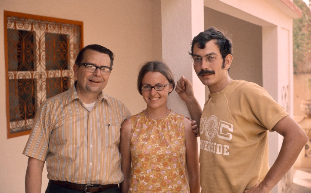
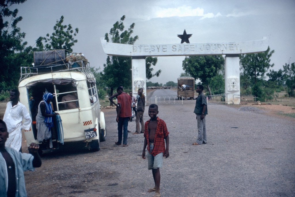


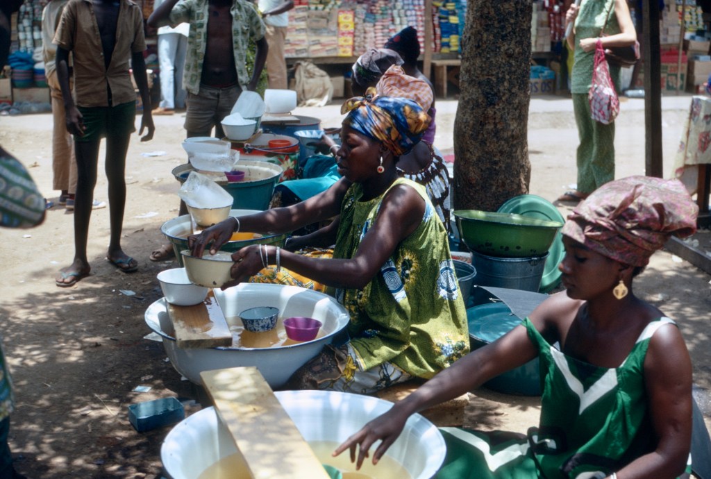

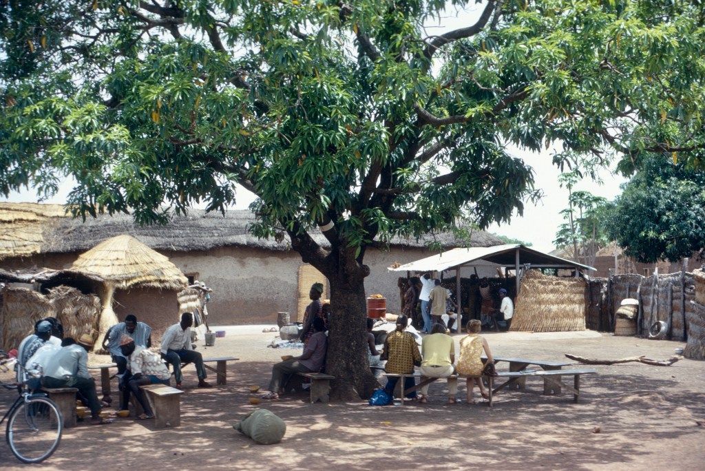
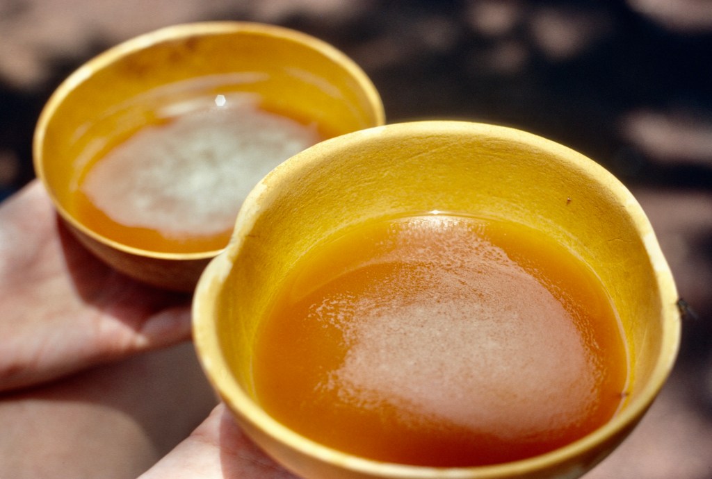
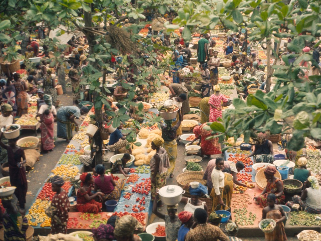


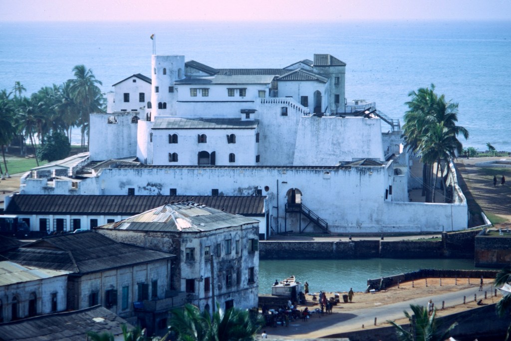


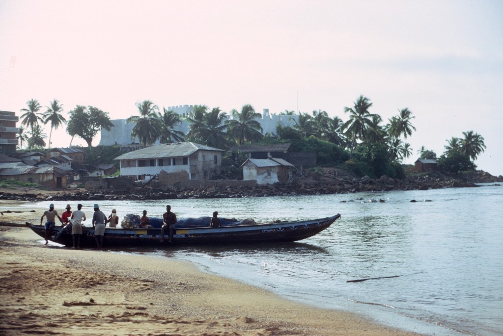


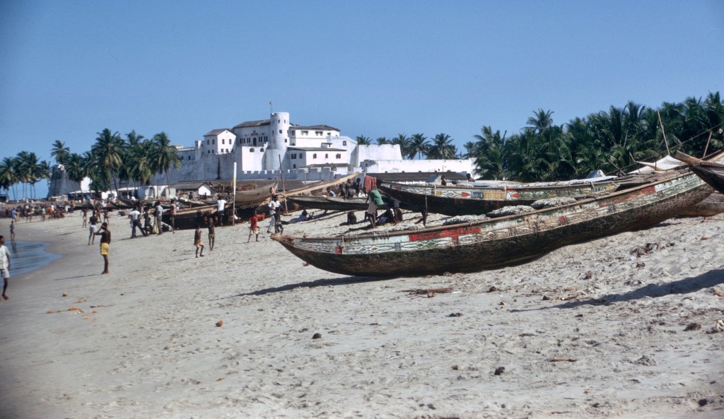

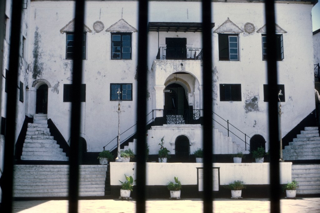


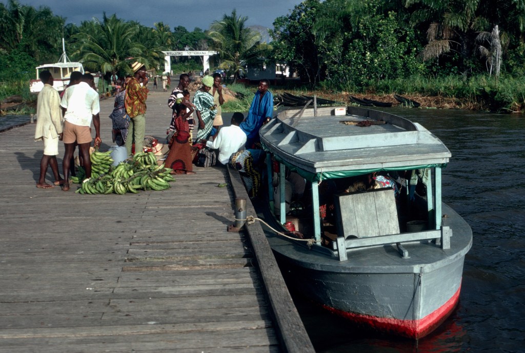
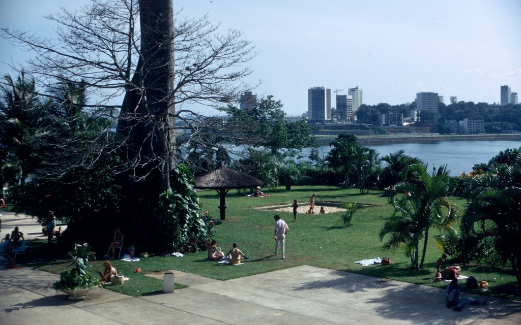


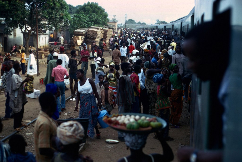
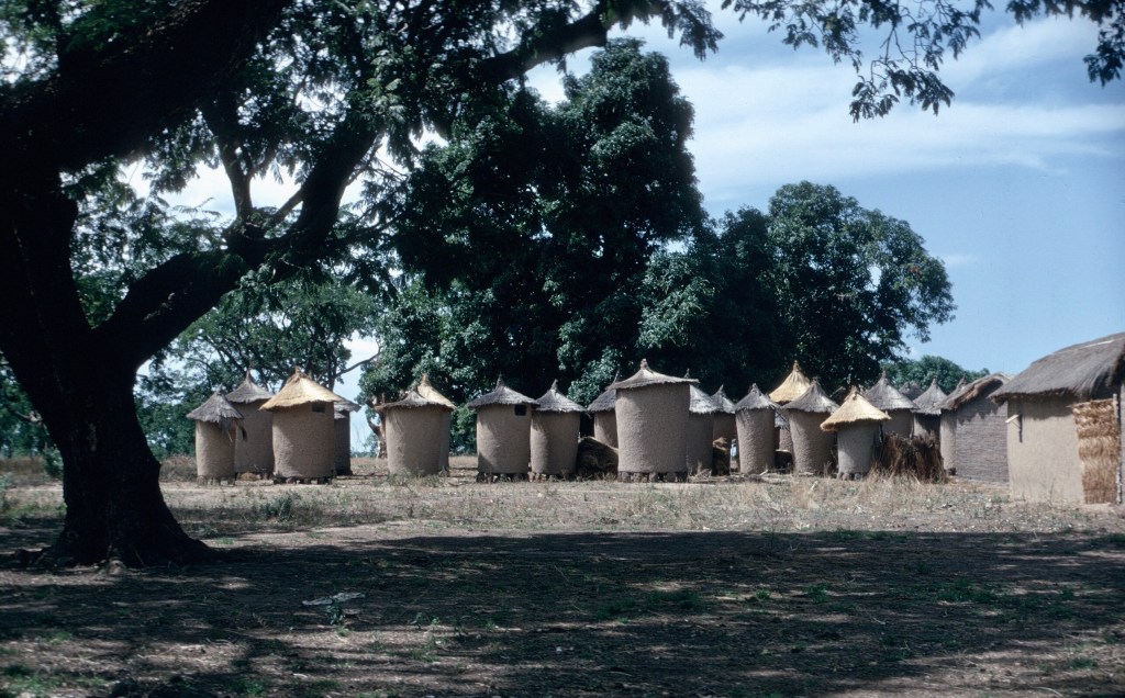
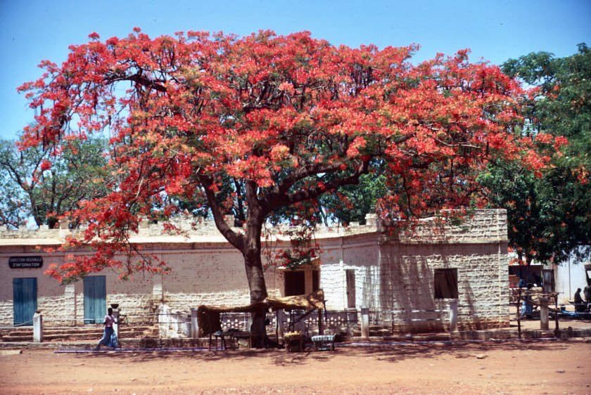
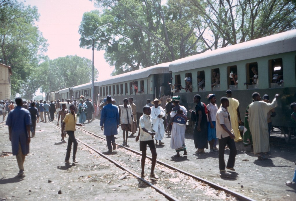
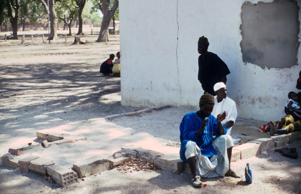
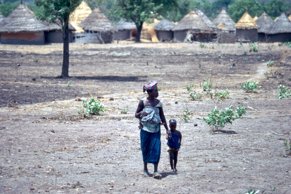


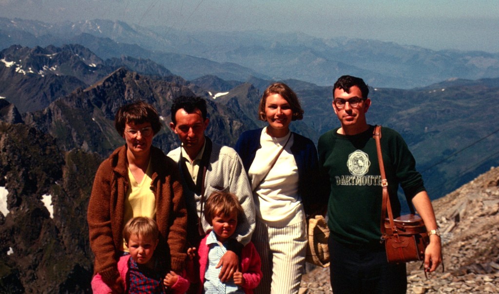


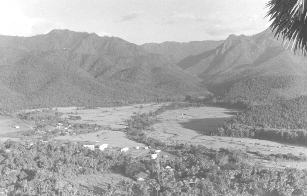


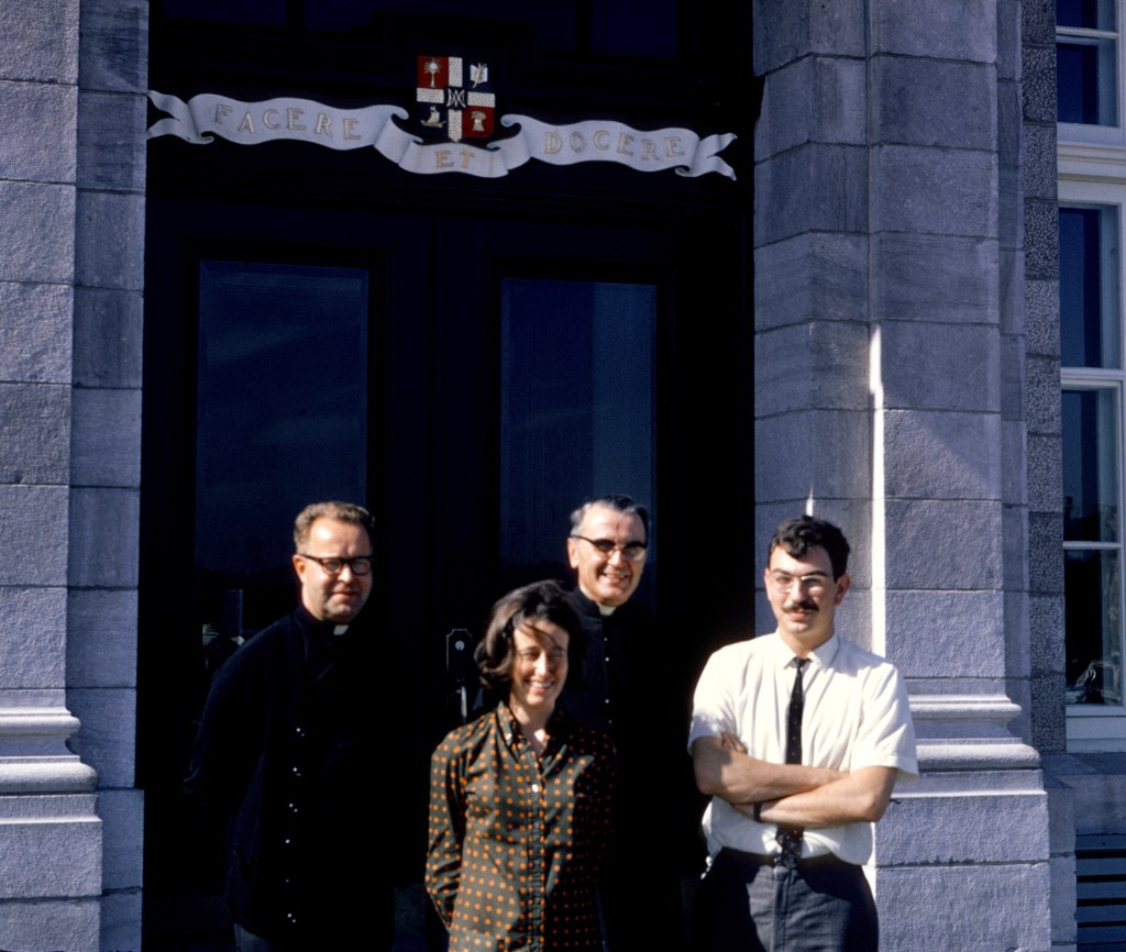


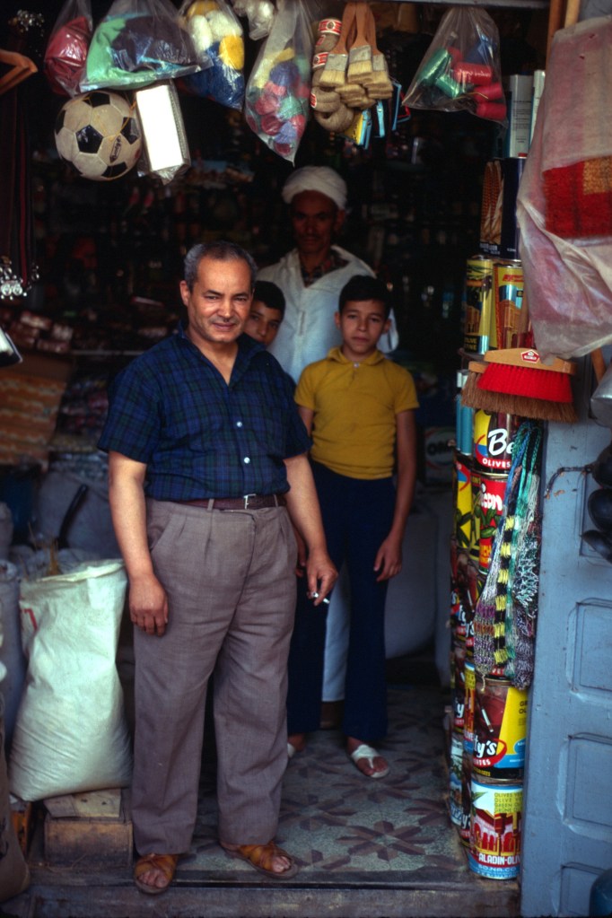
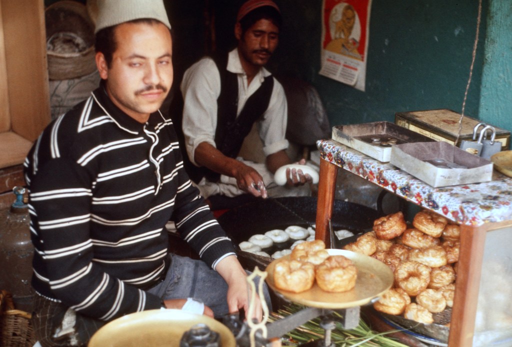

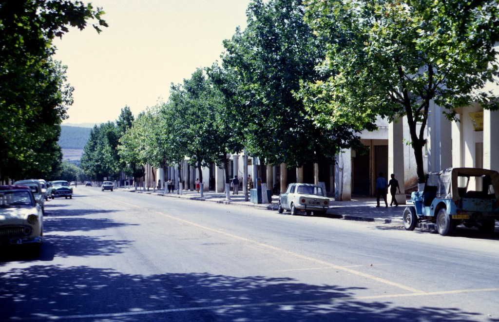

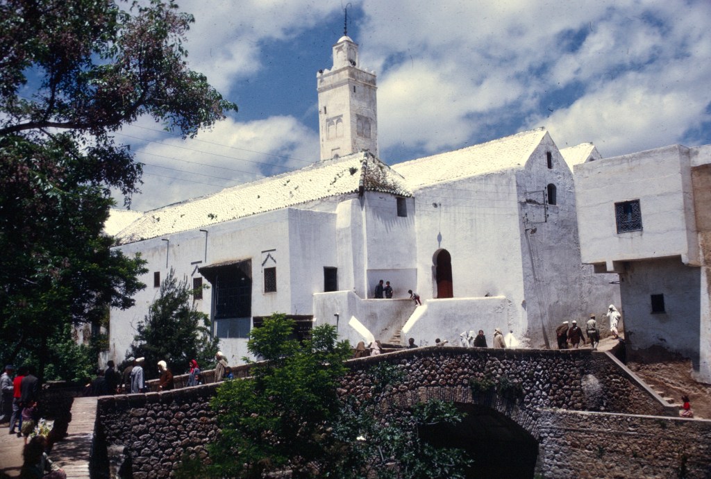


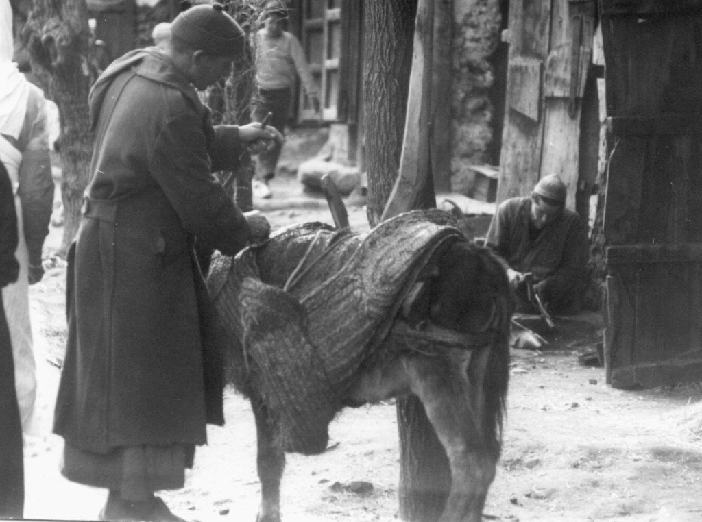
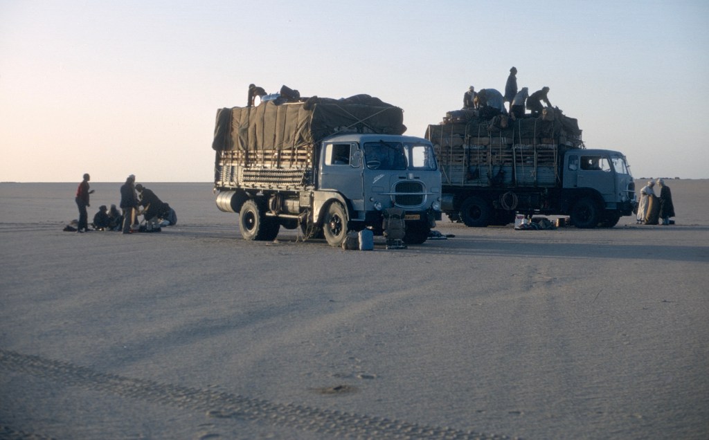


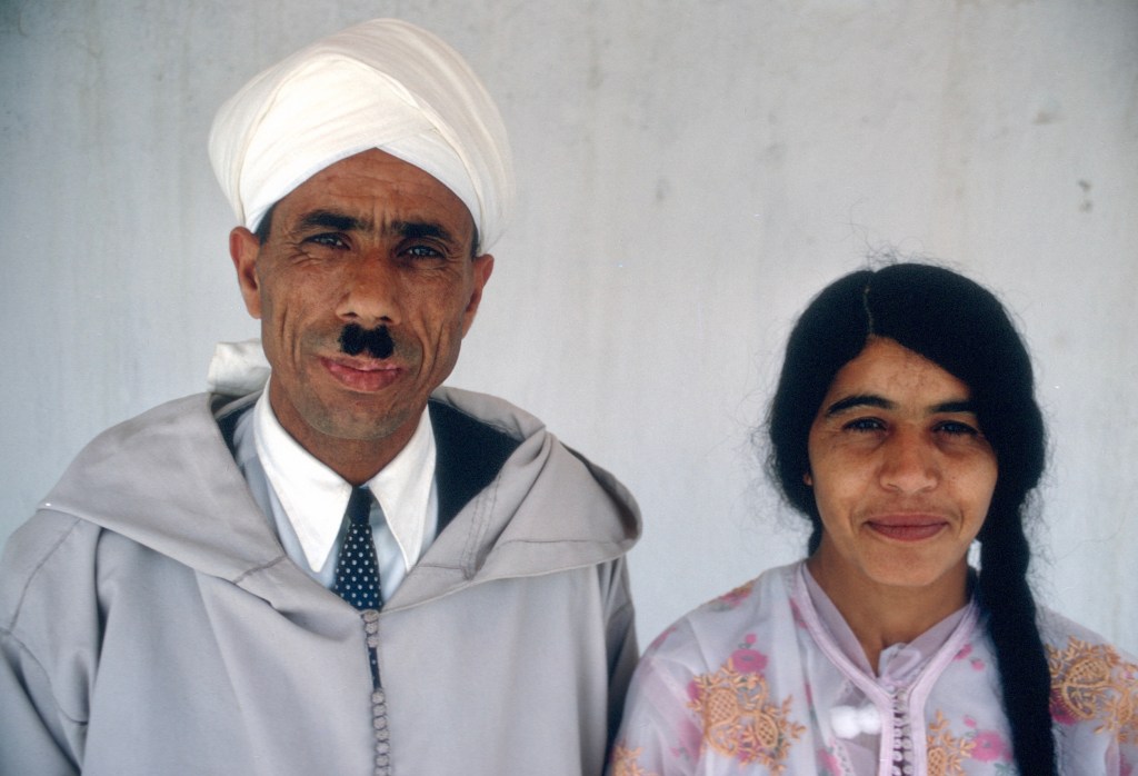
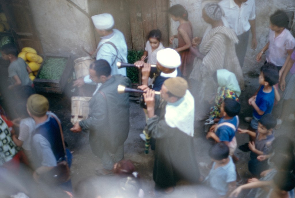


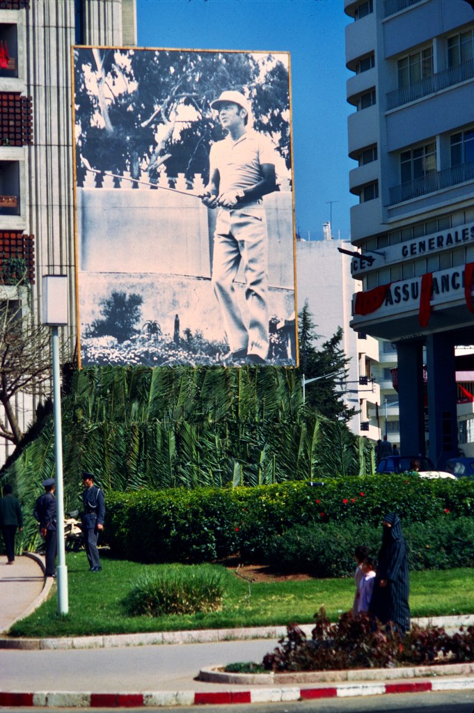
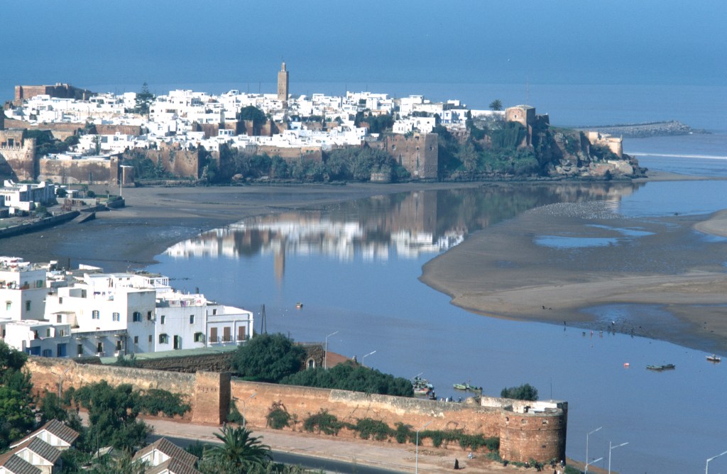
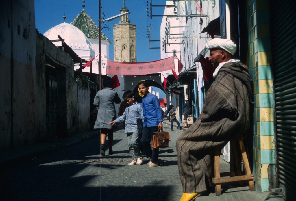

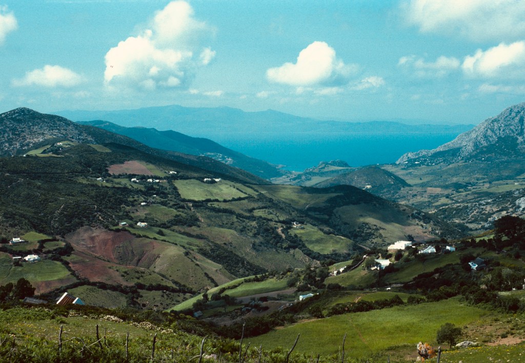

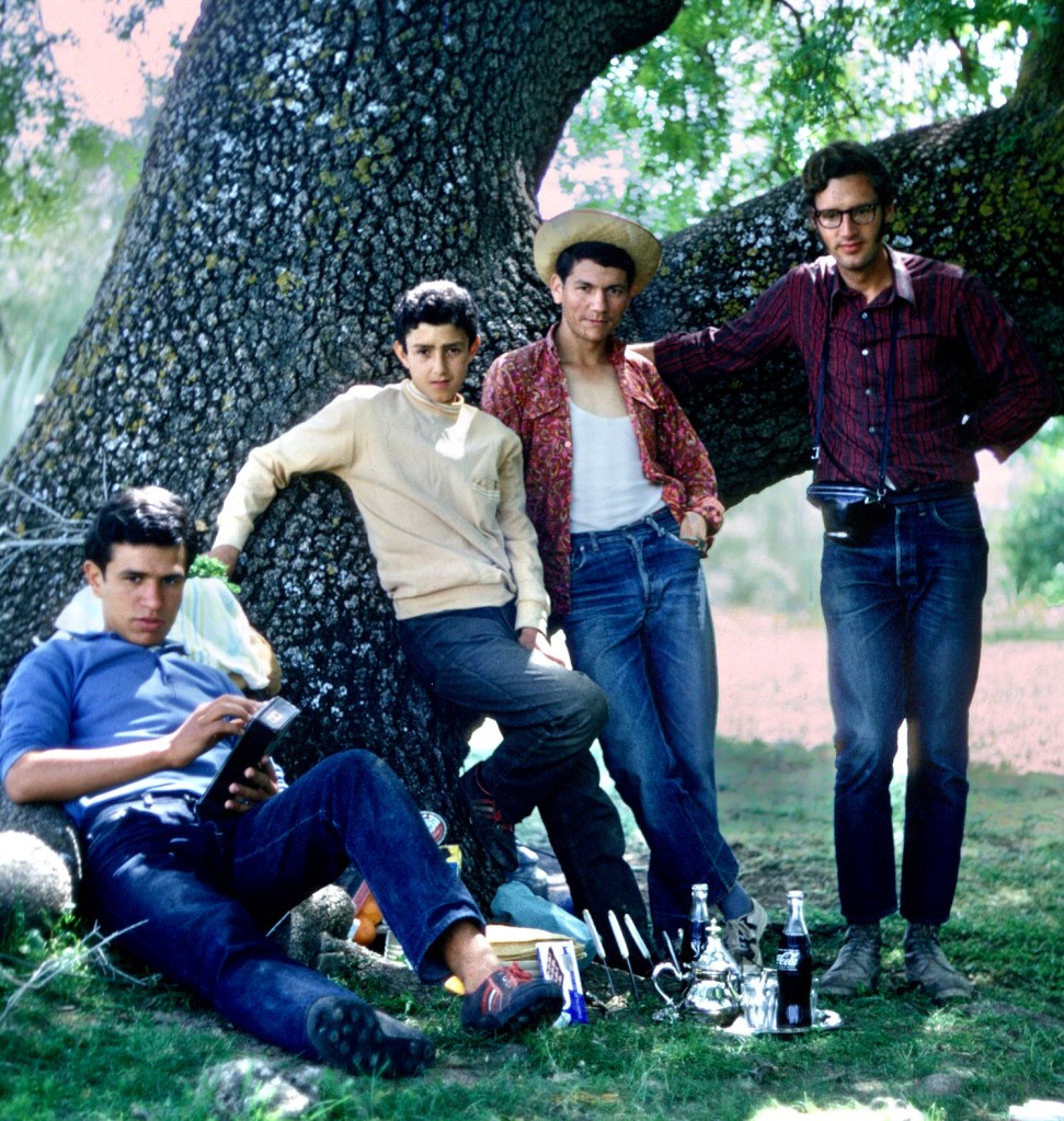

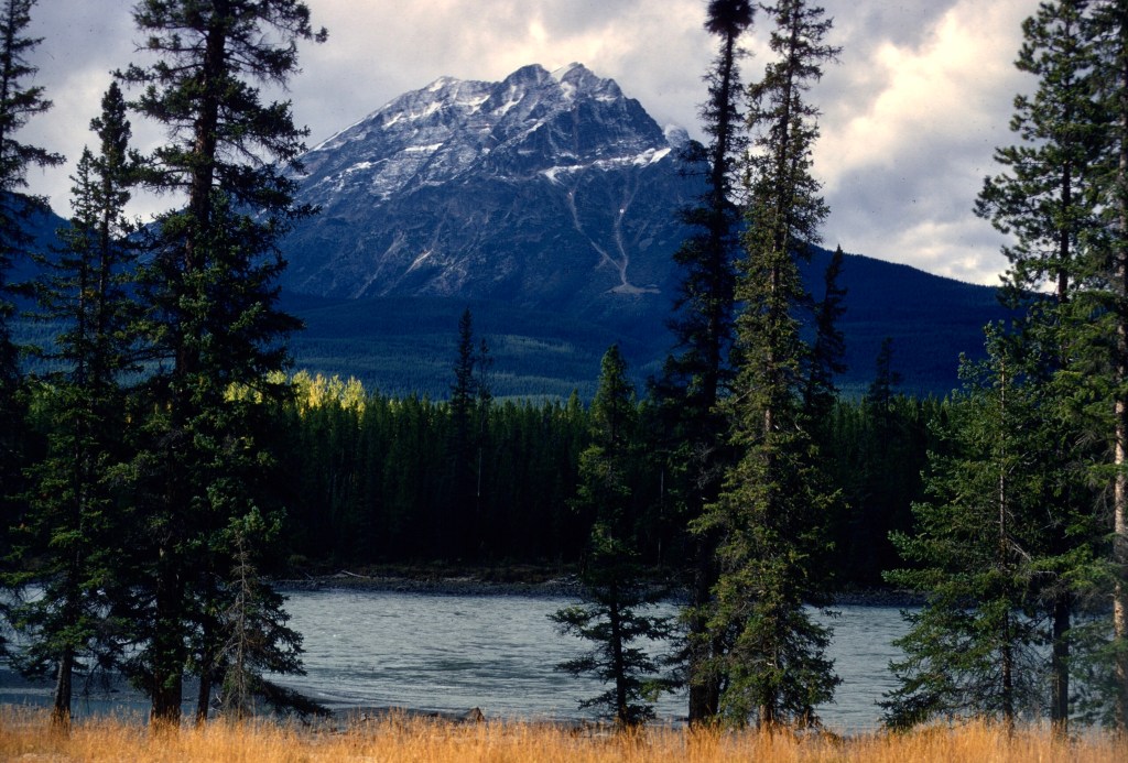


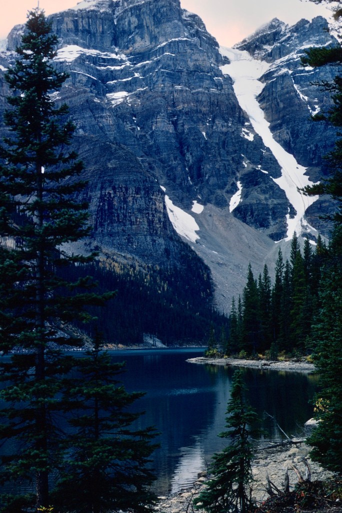
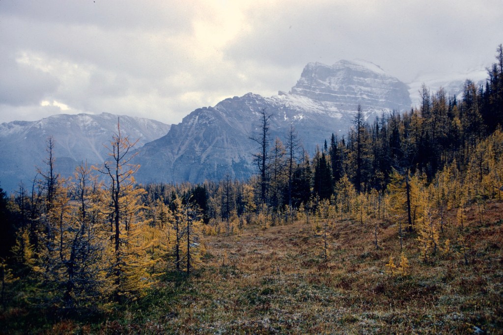
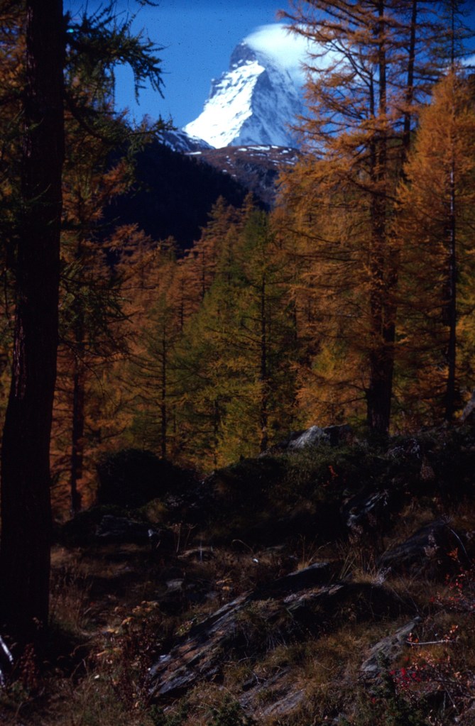


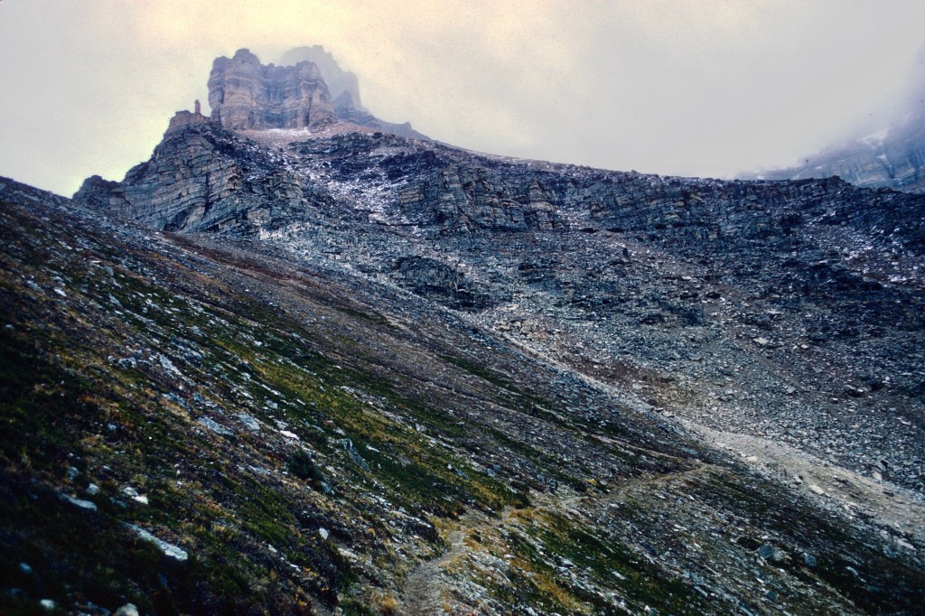
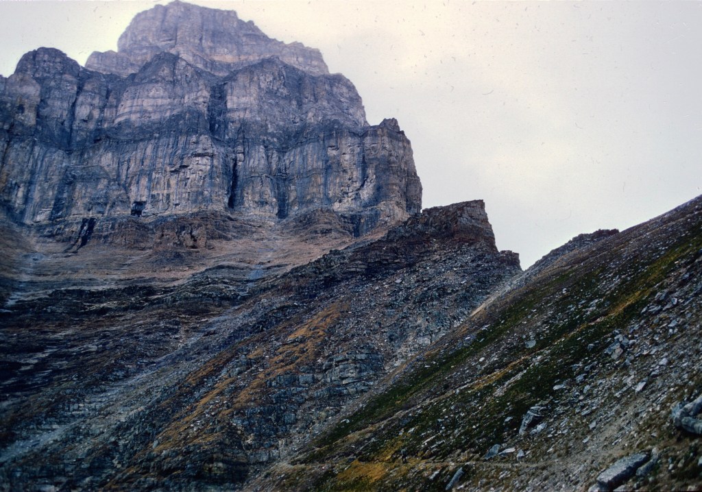


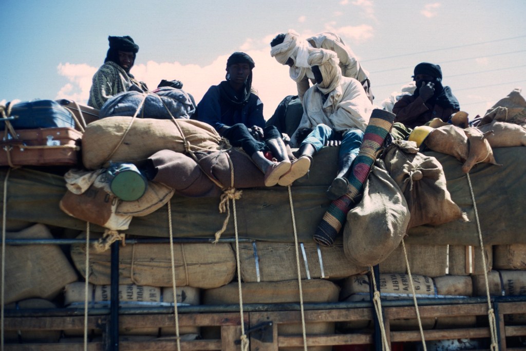
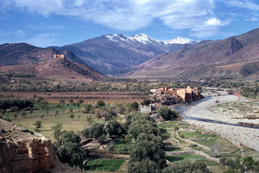
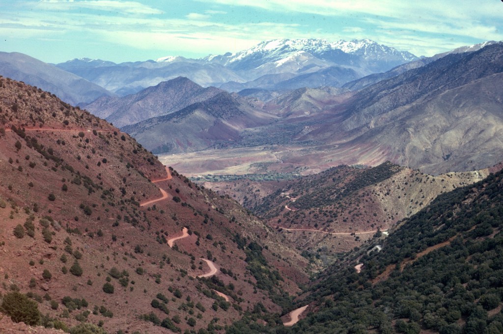


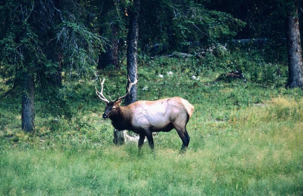


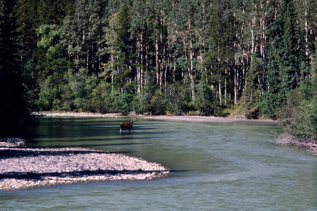
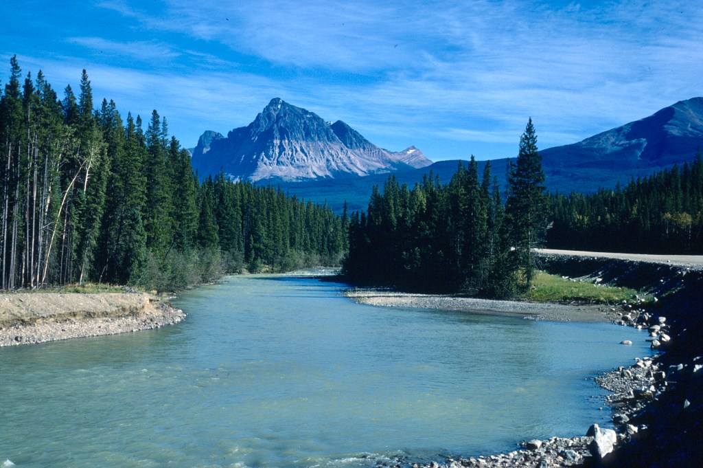


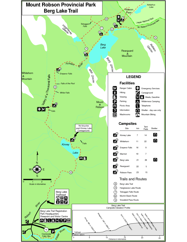
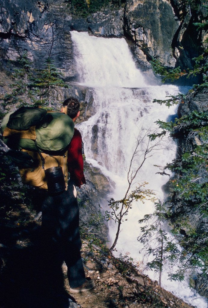
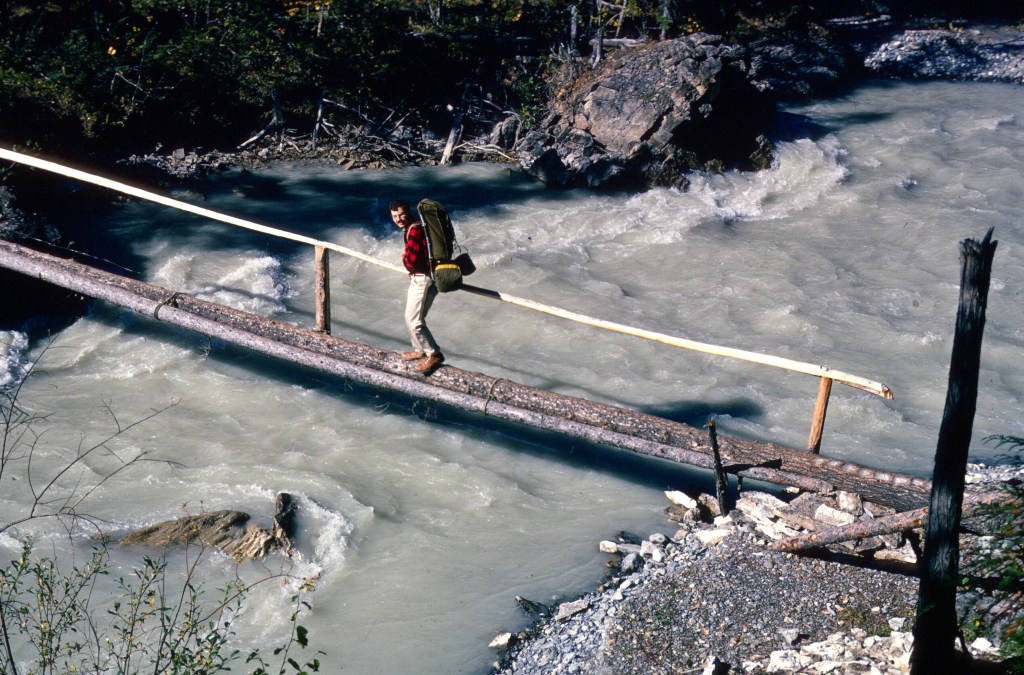
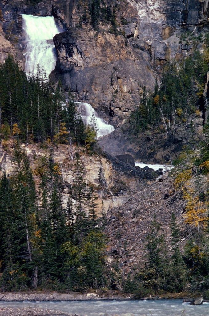
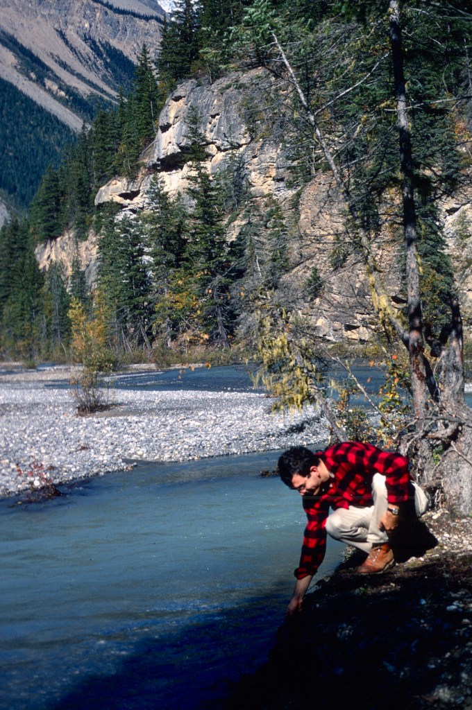


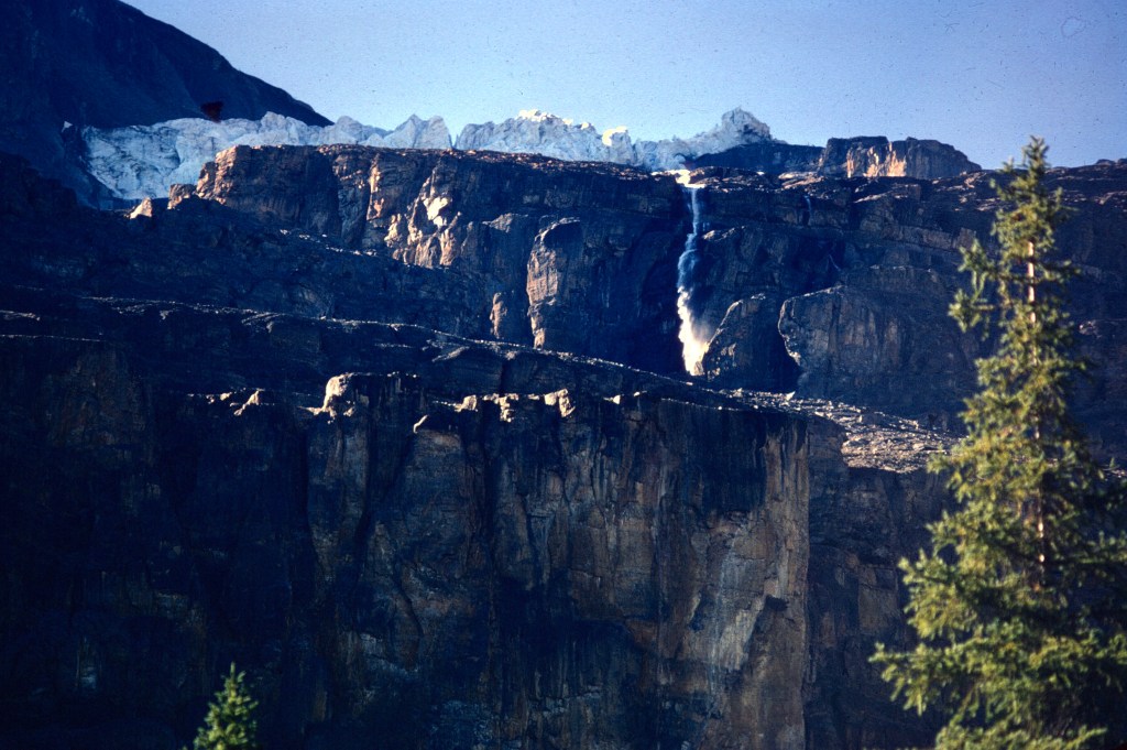
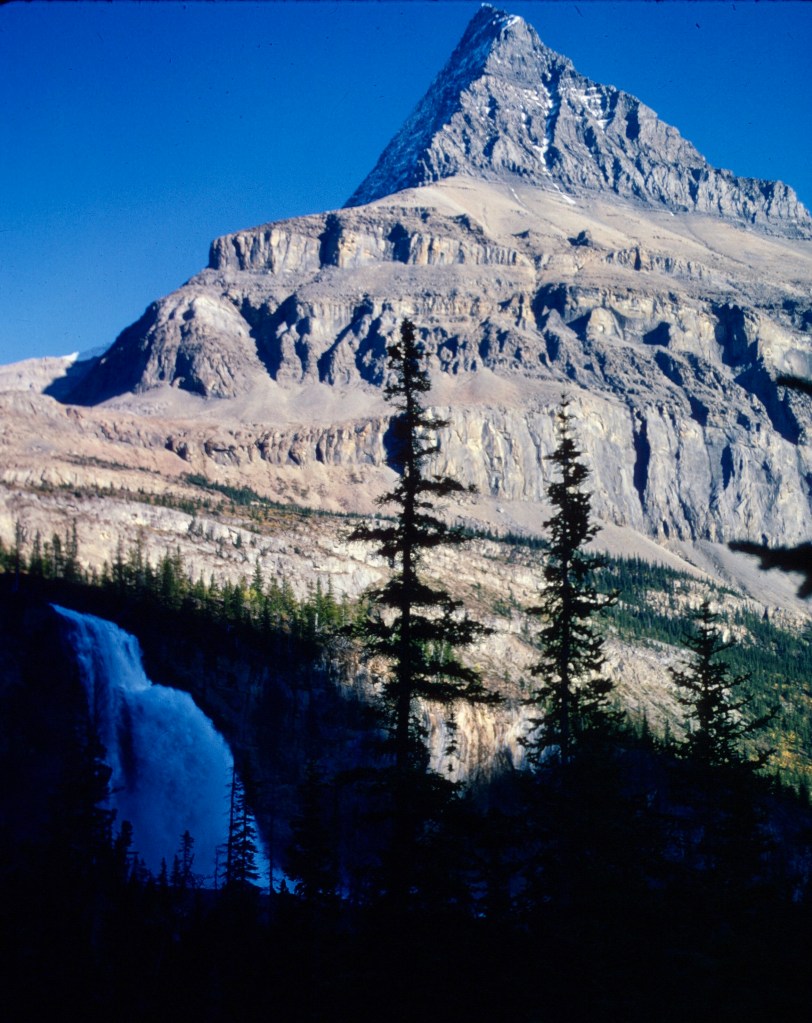

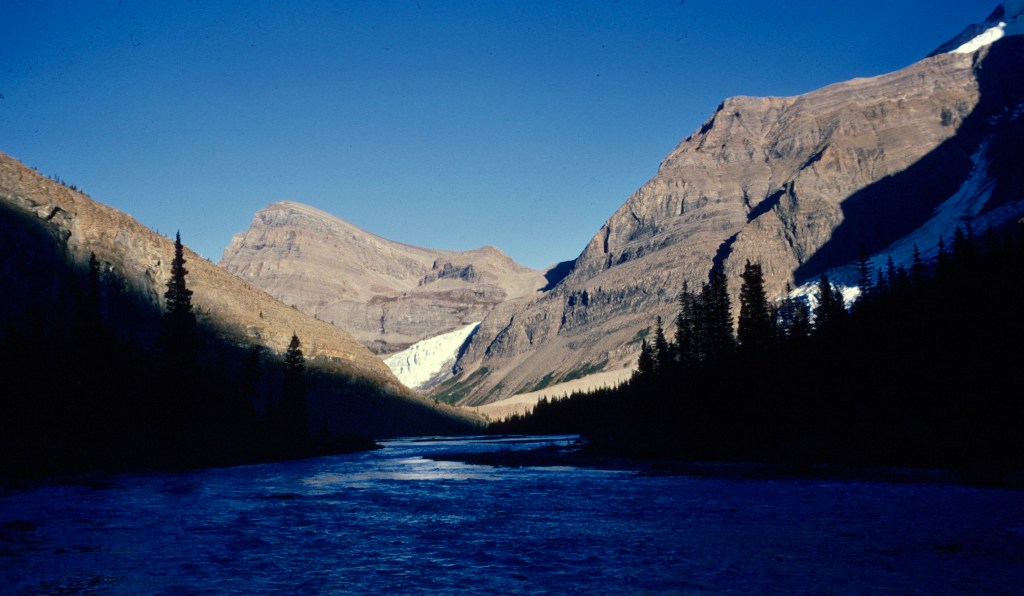
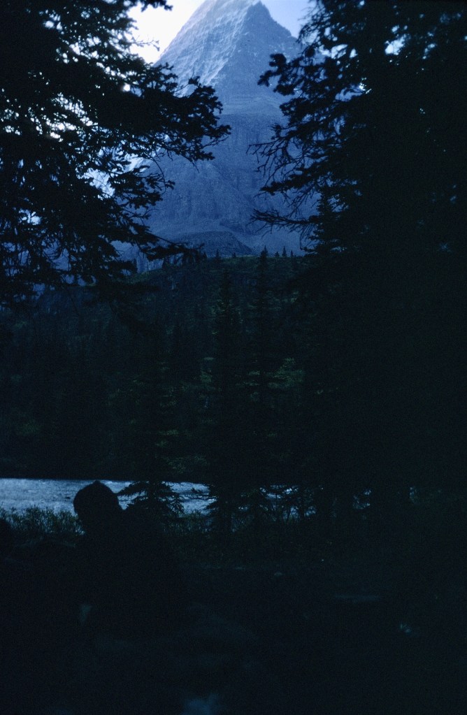


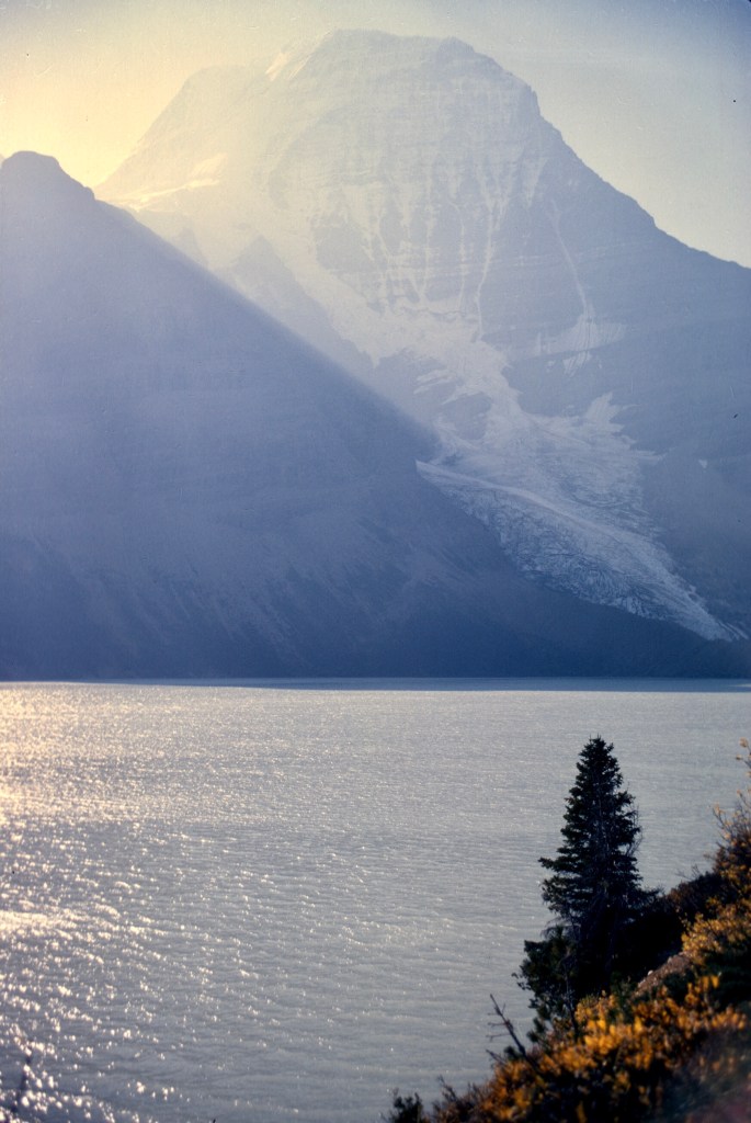

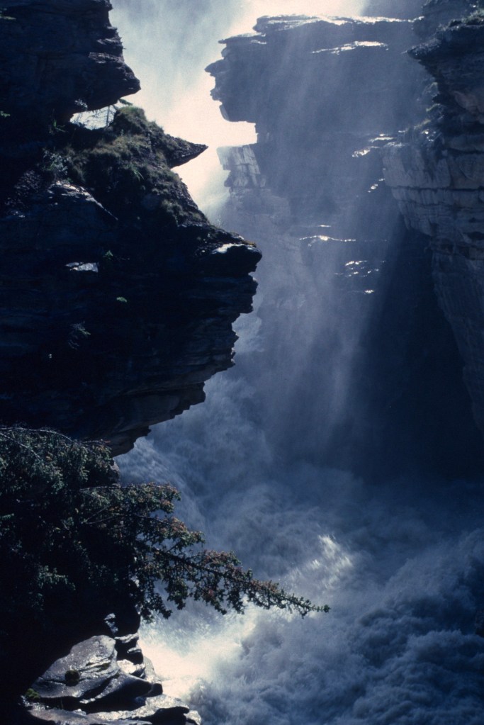


,_la_cage_de_fer_du_rogui_Bou_Hamara_-_F%C3%A8s_-_M%C3%A9diath%C3%A8que_de_l%27architecture_et_du_patrimoine_-_AP62T149026.jpg)